25. June 2022
Hiking to Kjerag
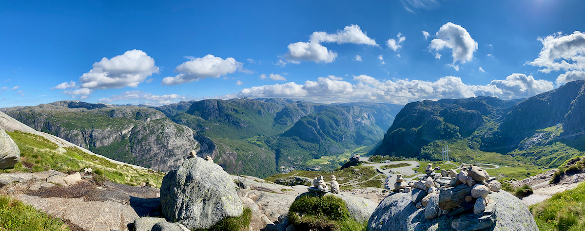
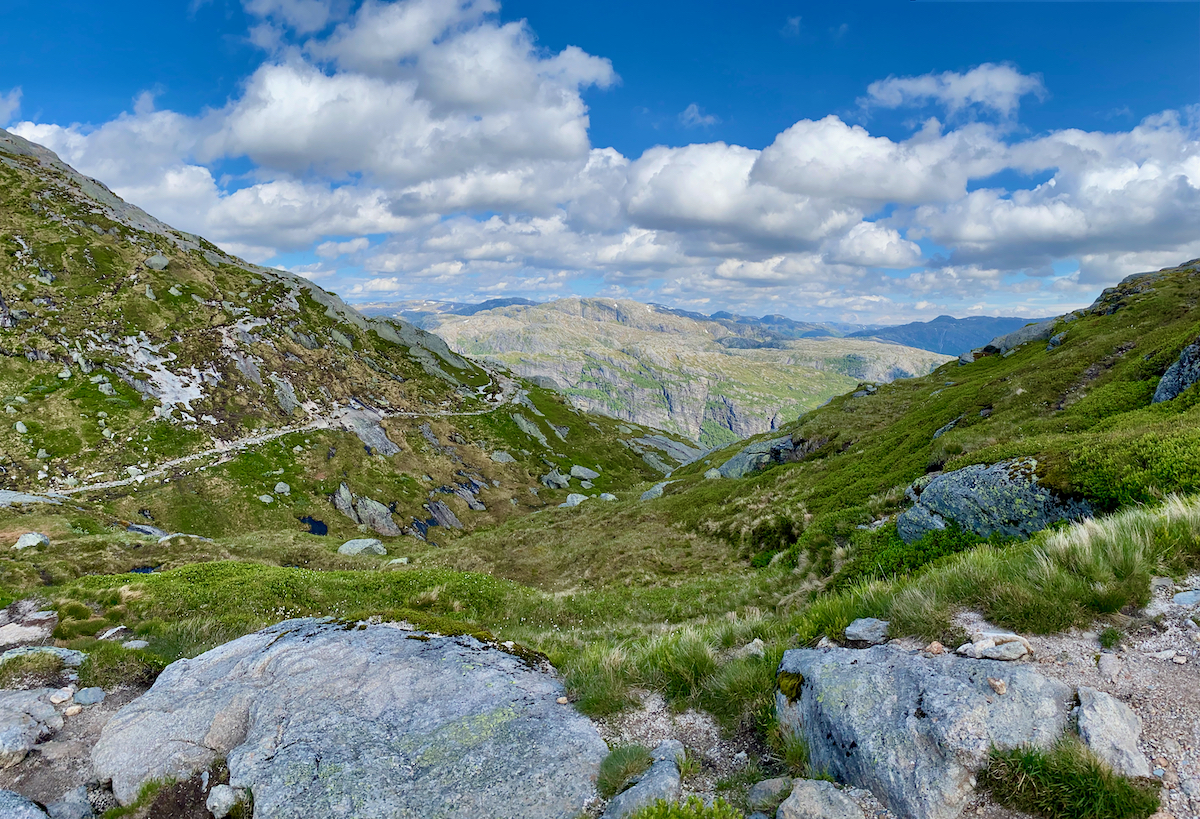
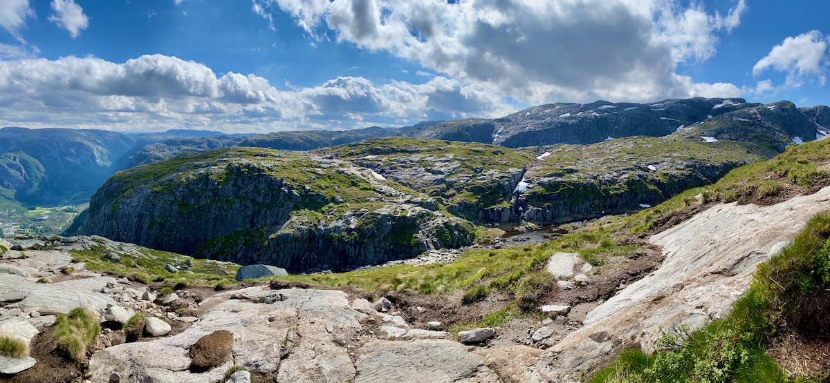
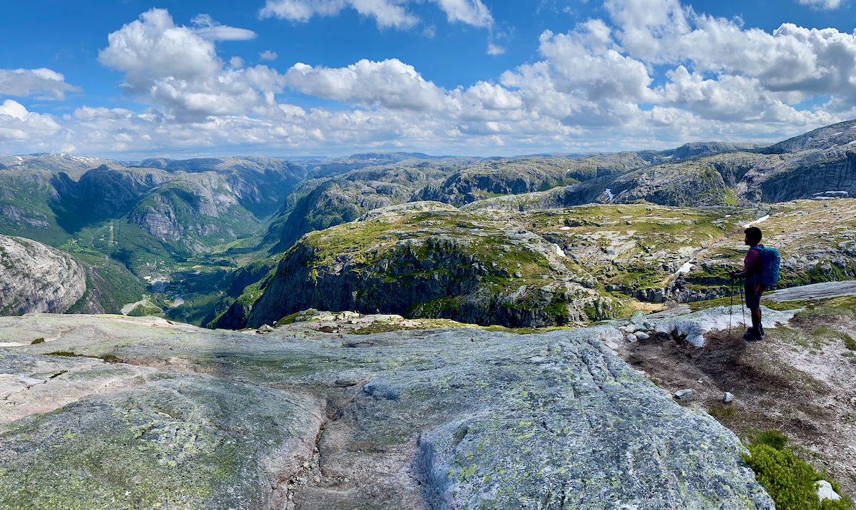
Our first stop during our van trip through Western Norway is Lysebotn. After a night of rest we drive the famous winding road up to the official Kjerag parking which also marks the start of the hike up the mountain.
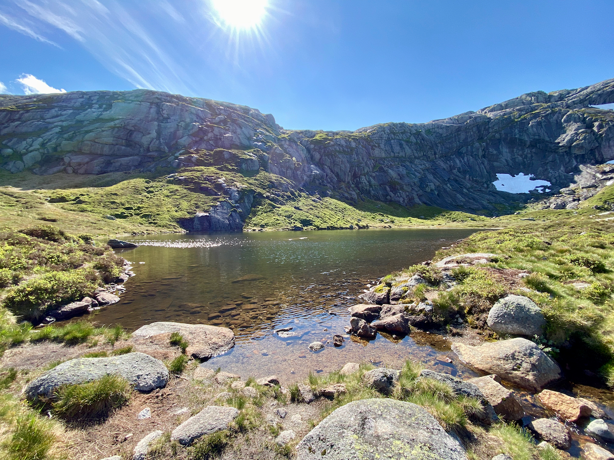
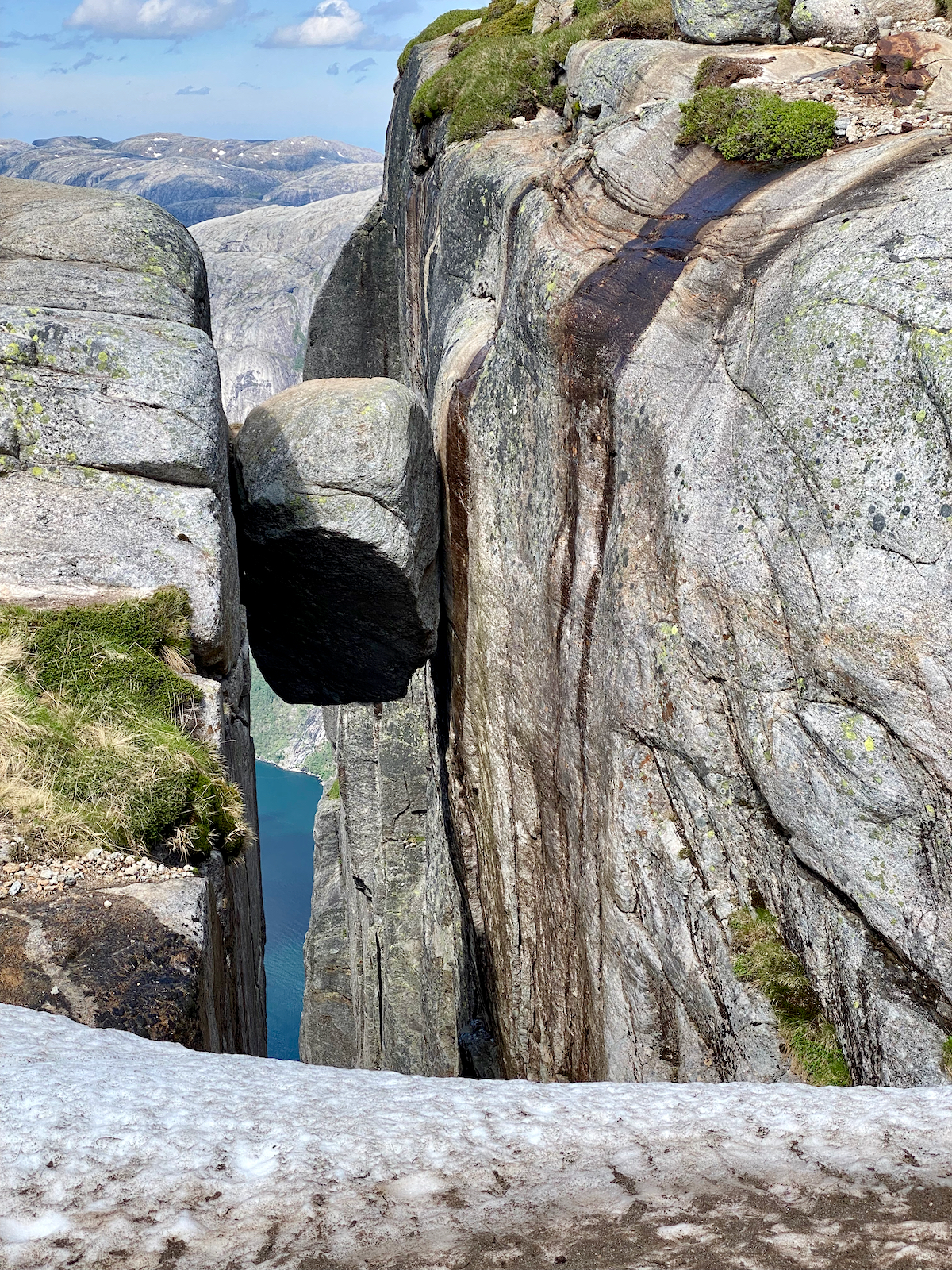
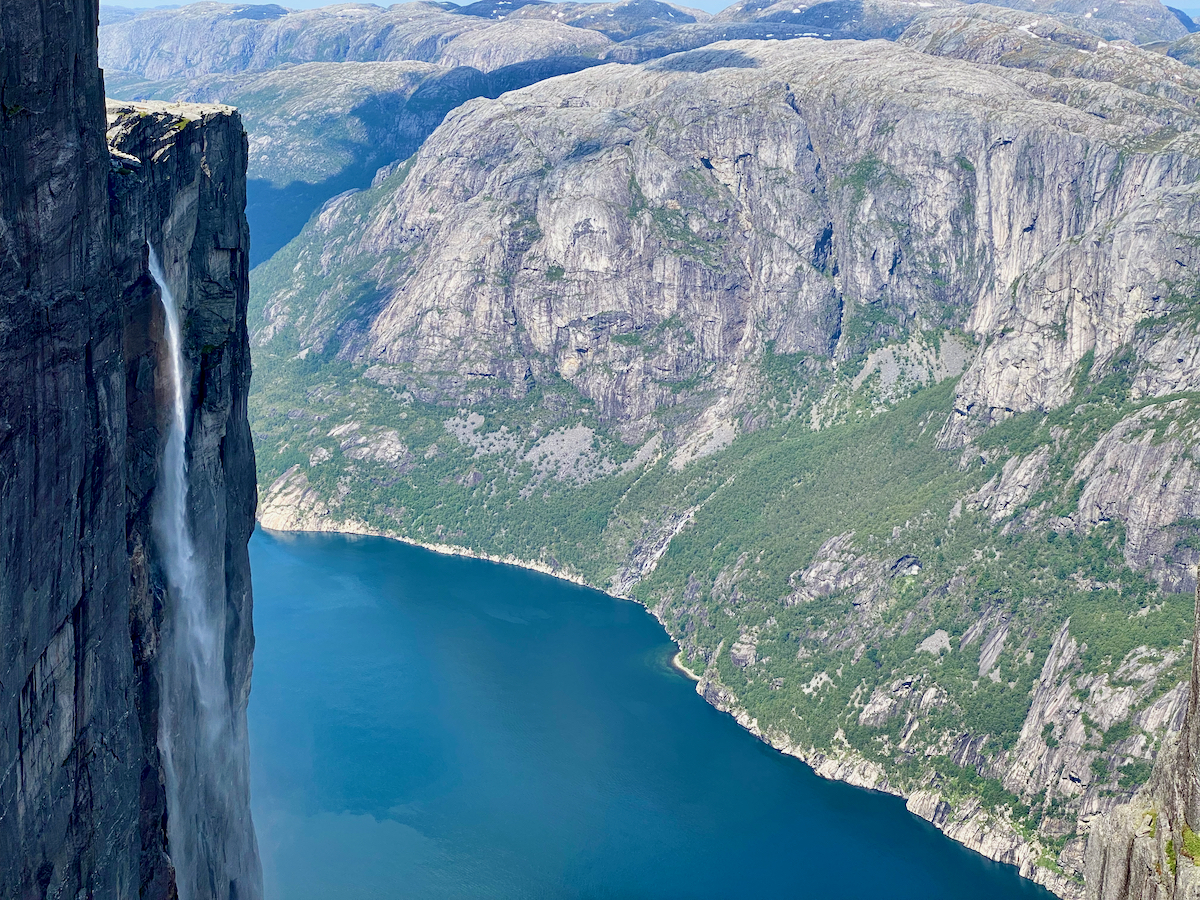
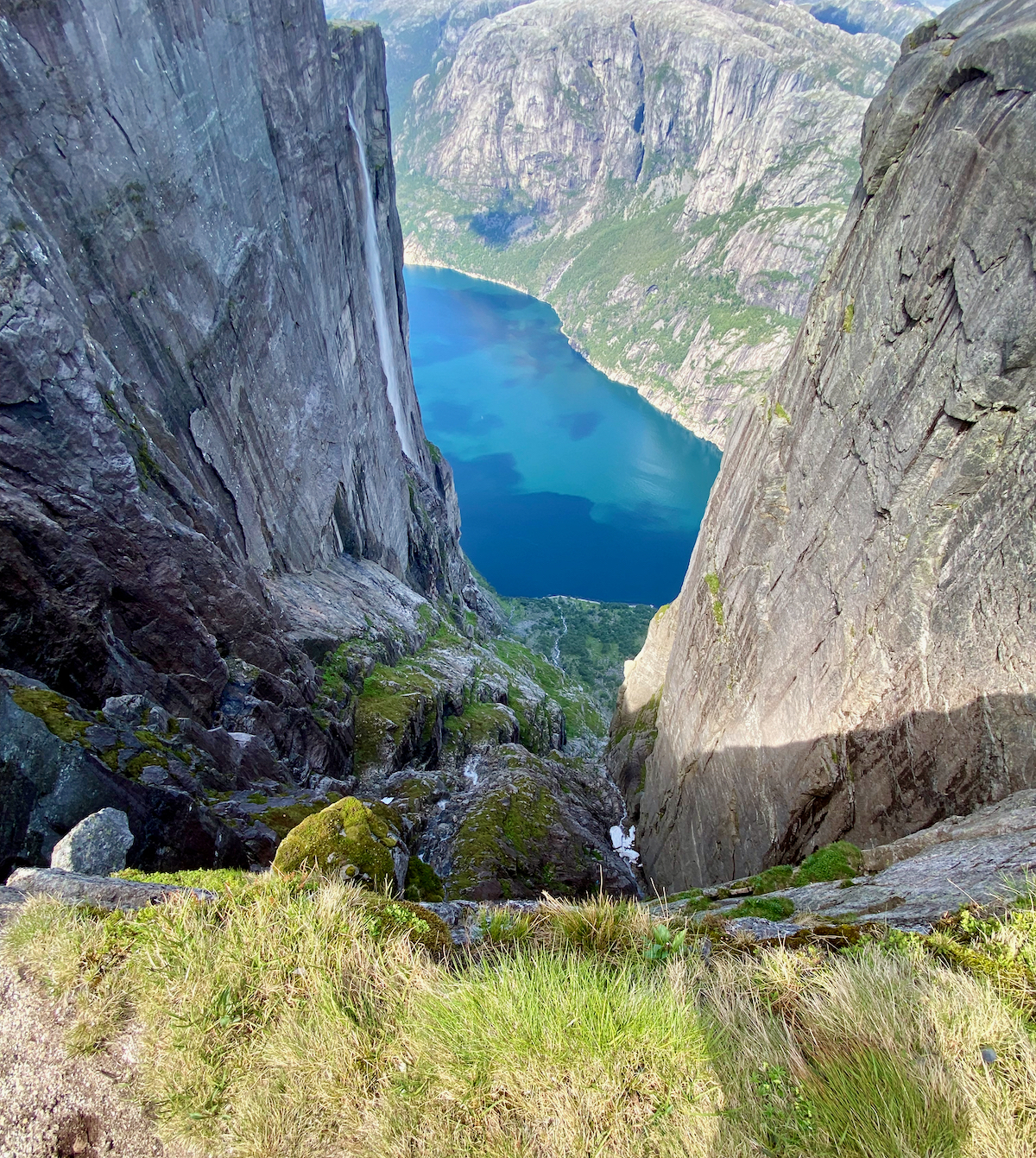
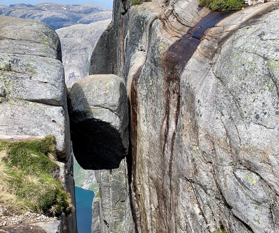
Kjerag has an altitude of 1.110 meters and sits on the shore of the Lysefjord. It is most known for its Kjeragbolten, a boulder wedged between two rocks with an almost 1.000 meter abyss (see picure above).
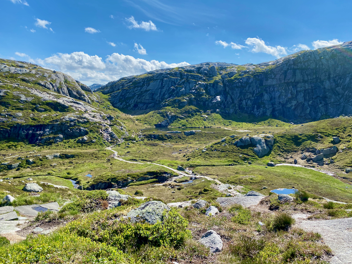
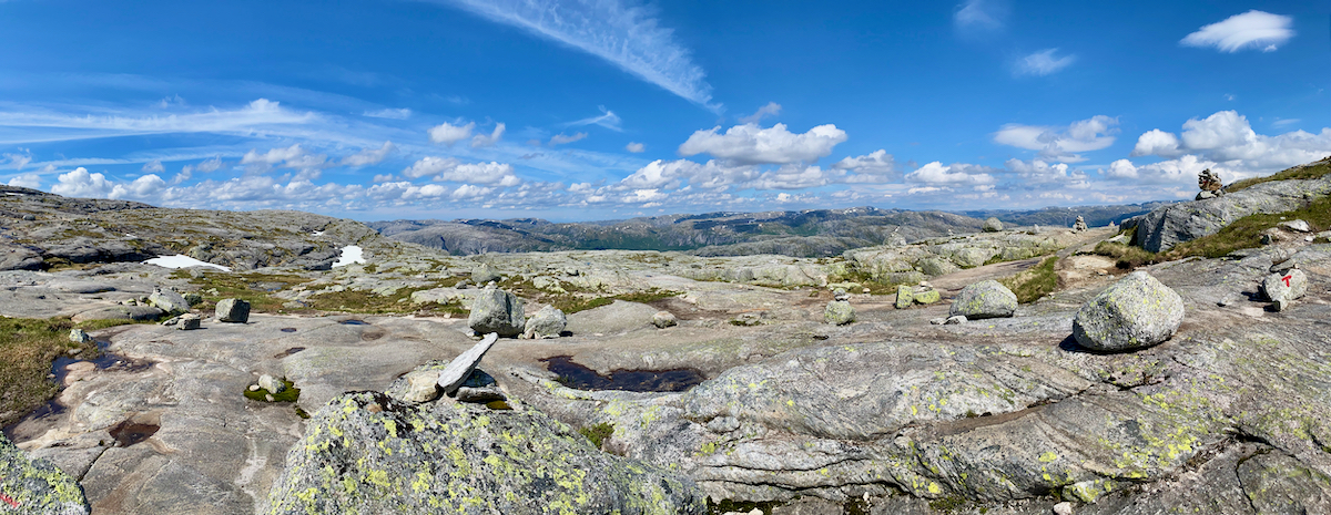
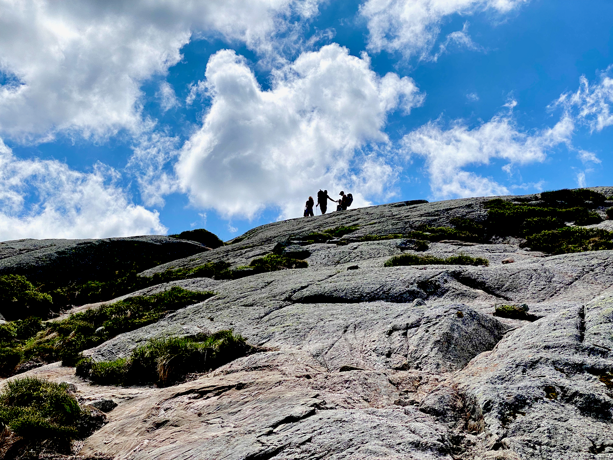
We start our hike at around 9:30 am and it’s not too crowded at this time (end of June), though we see a lot more people coming up after our break at the top.
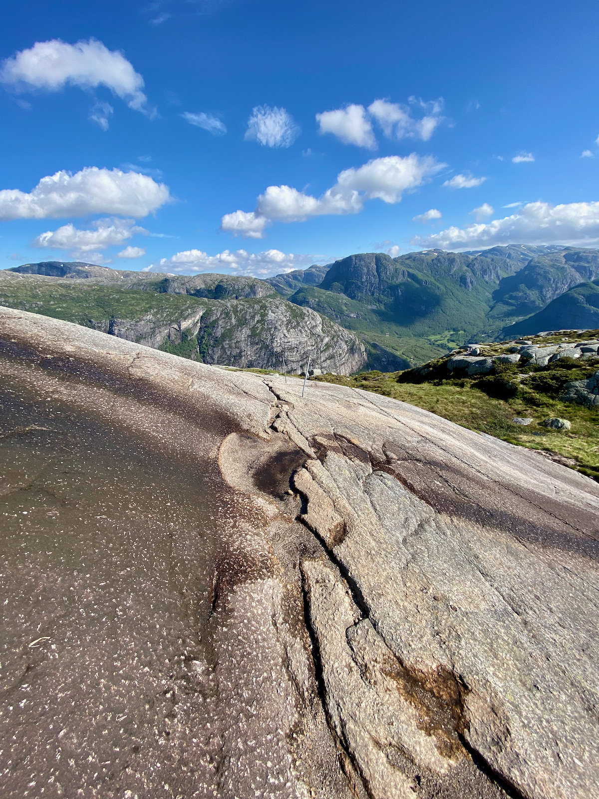
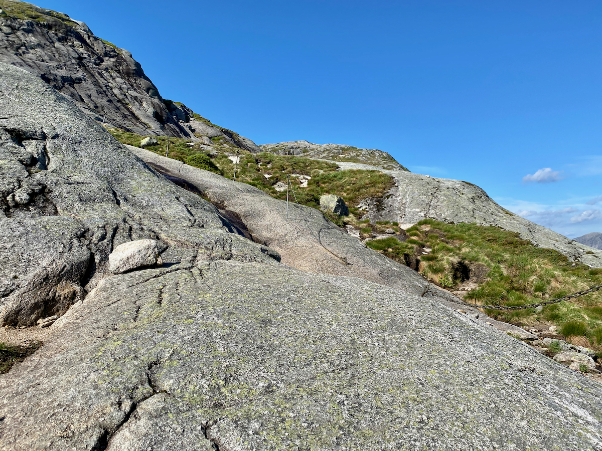
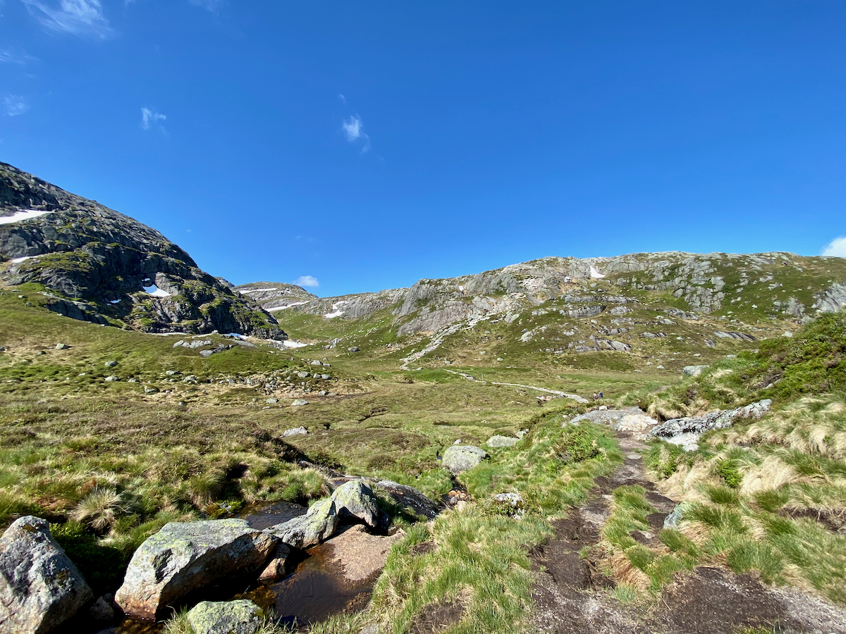
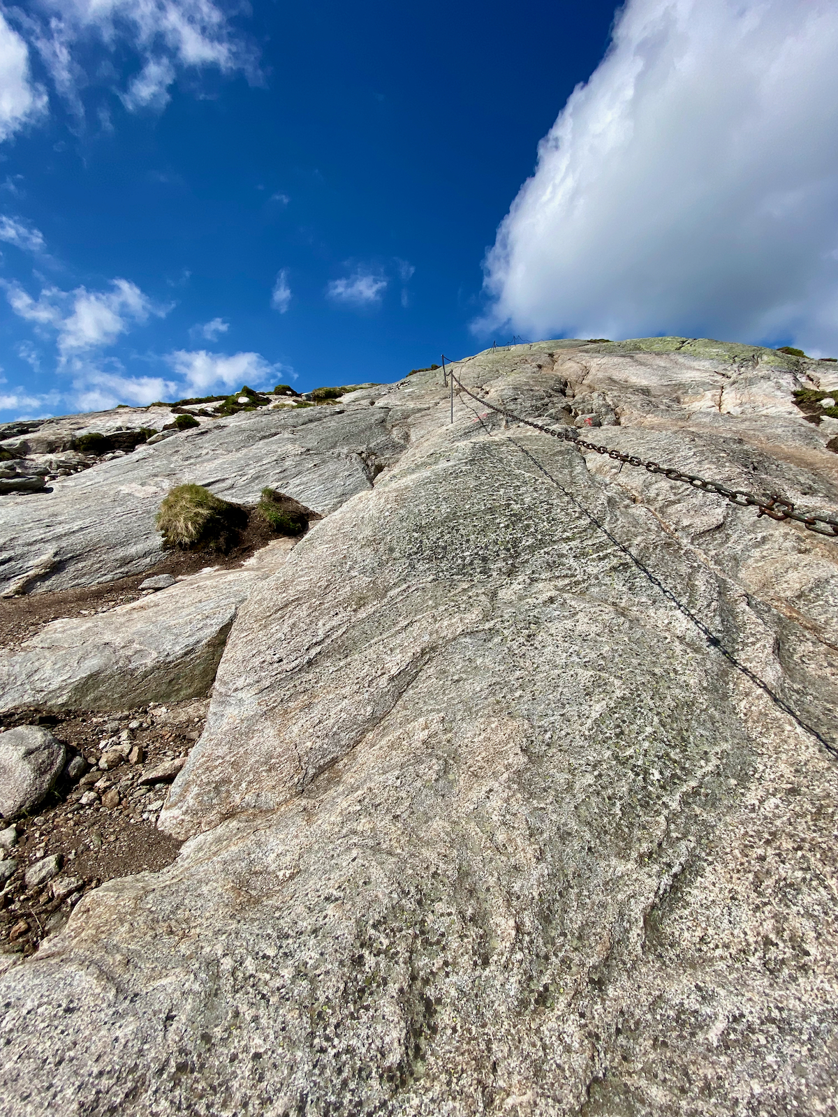
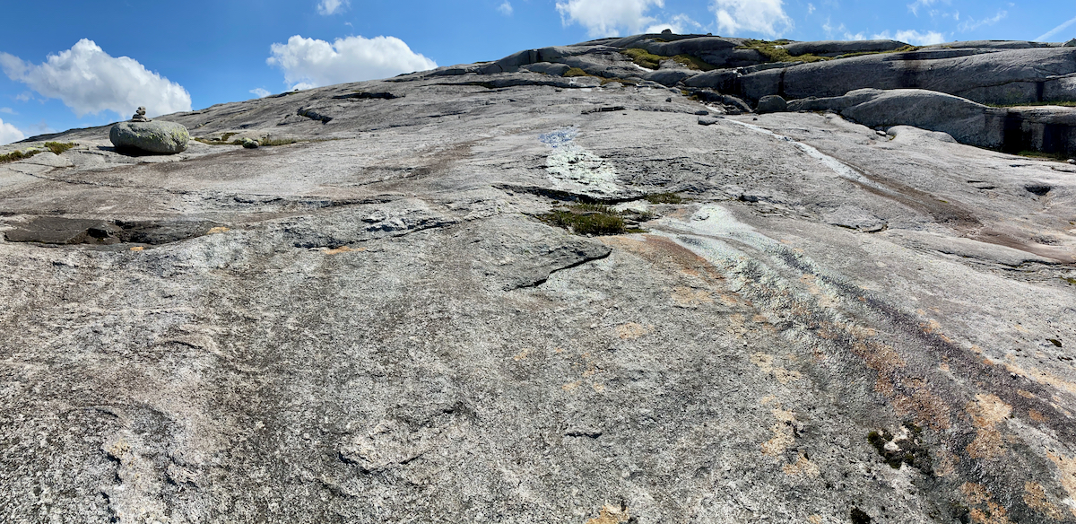
For the steepest sections of the trail cables have been installed to help ascending and descending. Still, having trekking poles handy makes the hike much easier, especially during the descent.
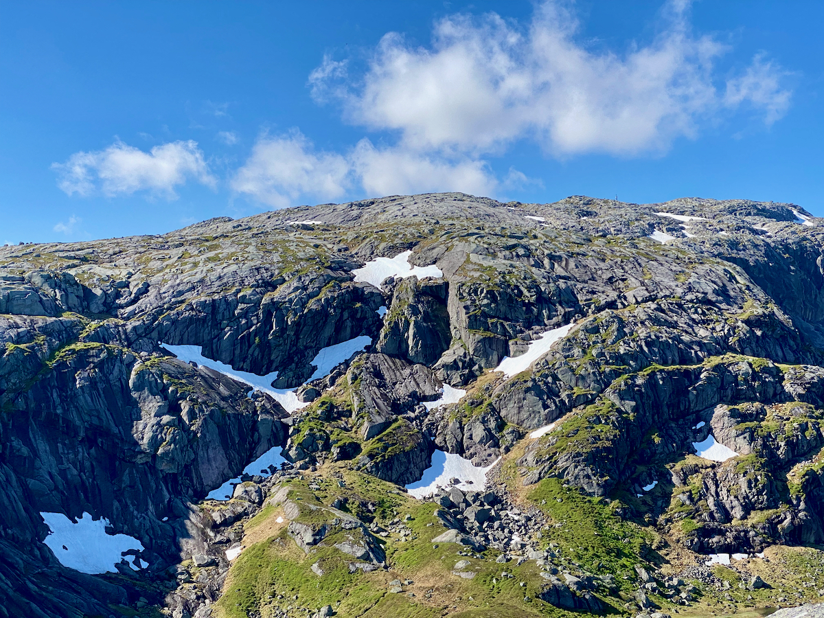
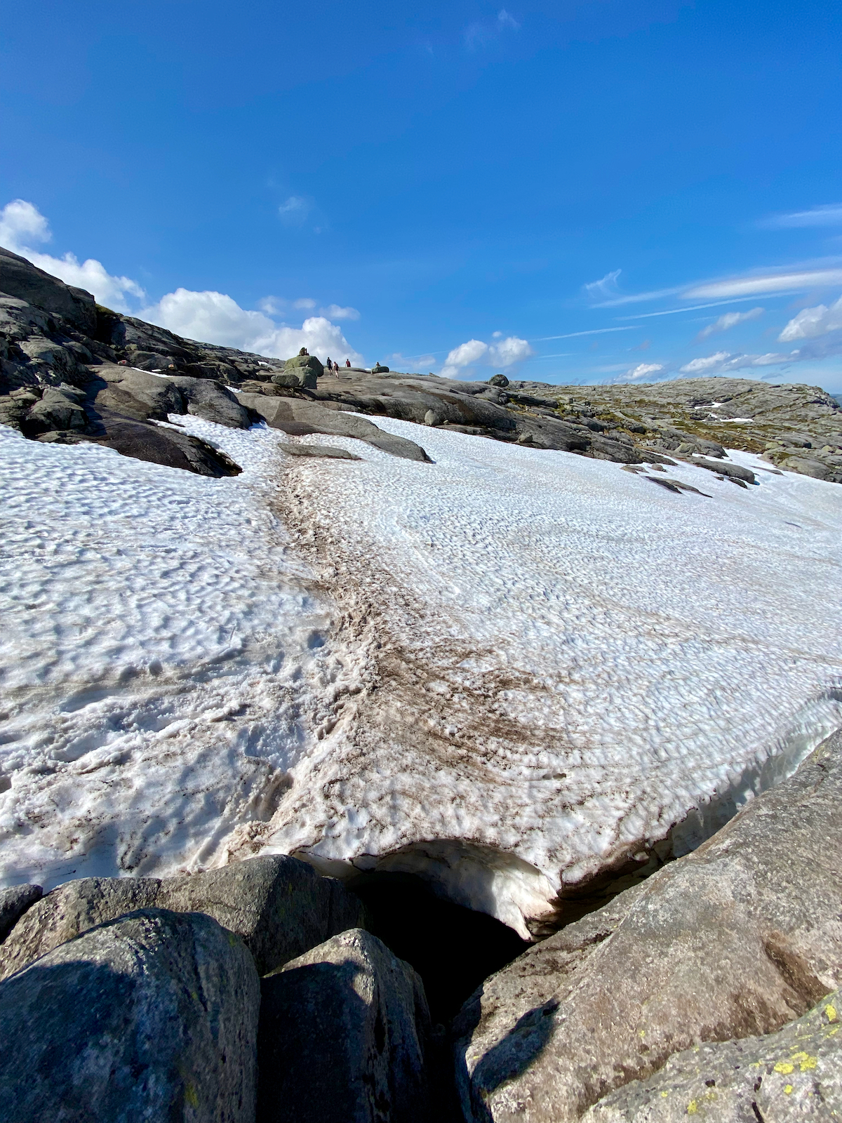
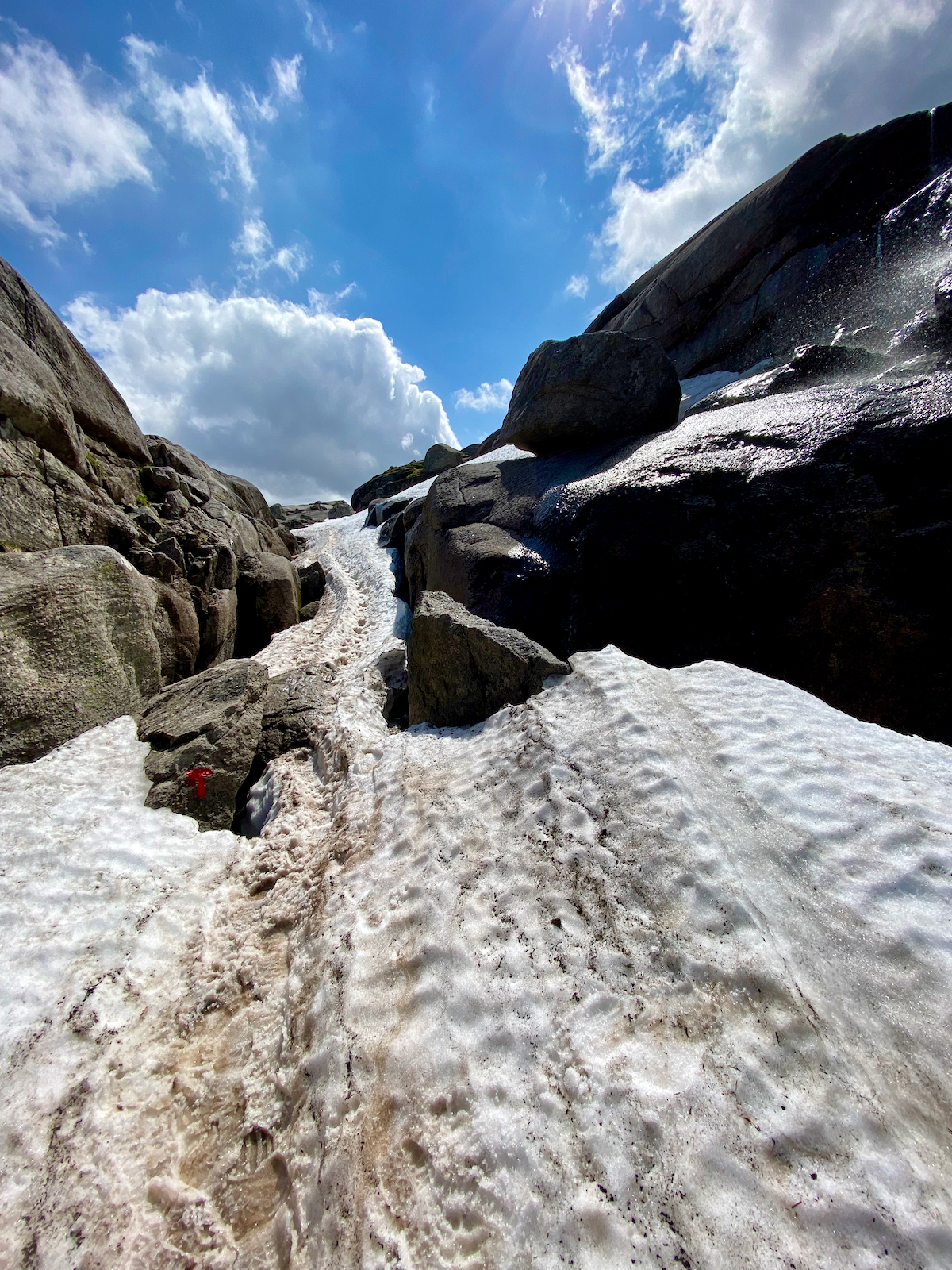
End of June, only very few sections are covered in snow and no special equipment is needed.
I tracked about 10.7 kilometers and 750 meters in elevation gain.