03. July 2022
Hiking up Galdhøpiggen – wind, snow and a warm cabin
With 2.469 meters elevation Galdhøpiggen is the highest mountain in Northern Europe.
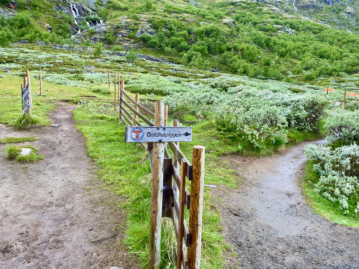
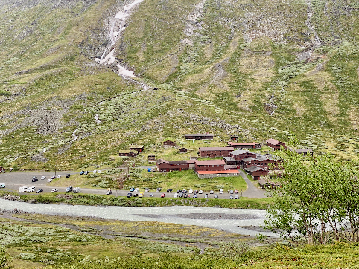
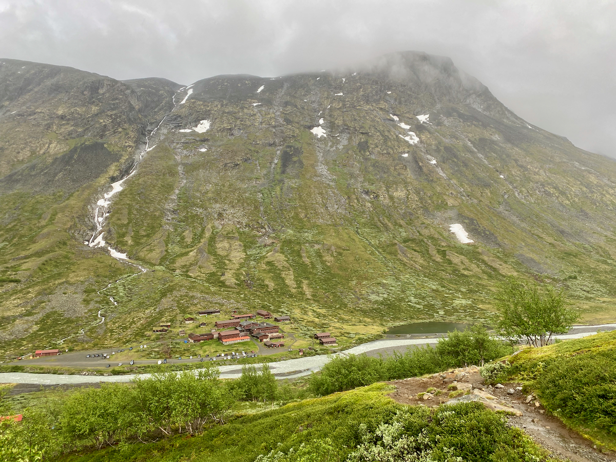
We drive towards Jotunheimen National Park targeting Spiterstulen, a former farm turned lodge at an elevation of 1.100 meters. For a nightly fee of 220 NOK (includes using restrooms and showers) we can park the van right on site to be able to start our ascent to Galdhøpiggen the next day after breakfast.
On the day of our hike (beginning of July) the weather looks a bit grey and wet. We try to sit it out and check the weather forecast, but the report just predicts continued light rain and snow showers for the day.
Starting with OK’ish weather
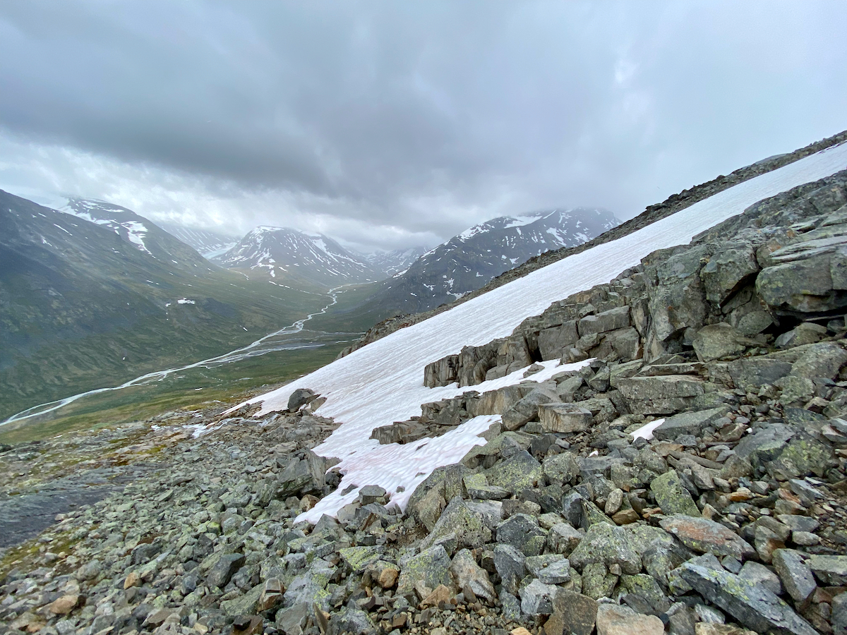
We decide to start our hike around 10 am and ascent the first hill from which we can get a nice view of all the Spiterstulen cabins.
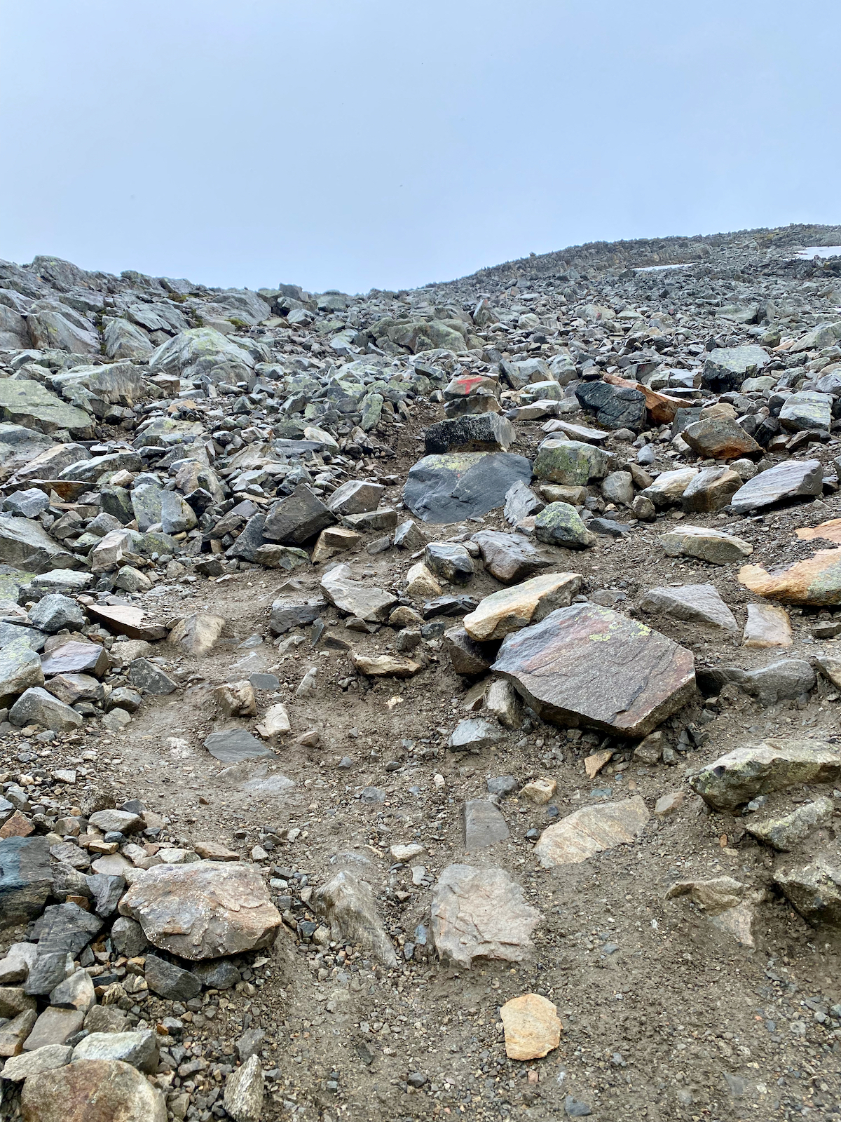
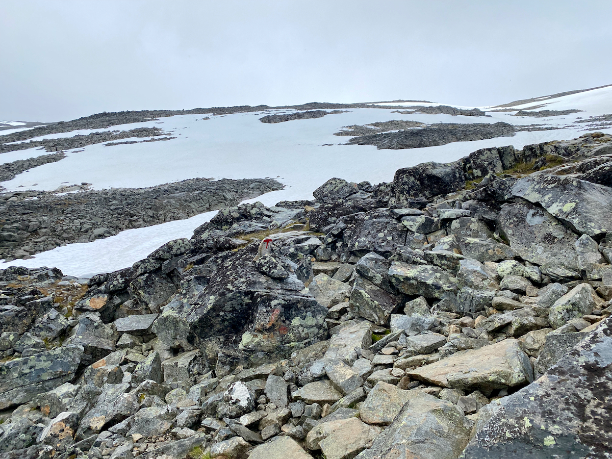
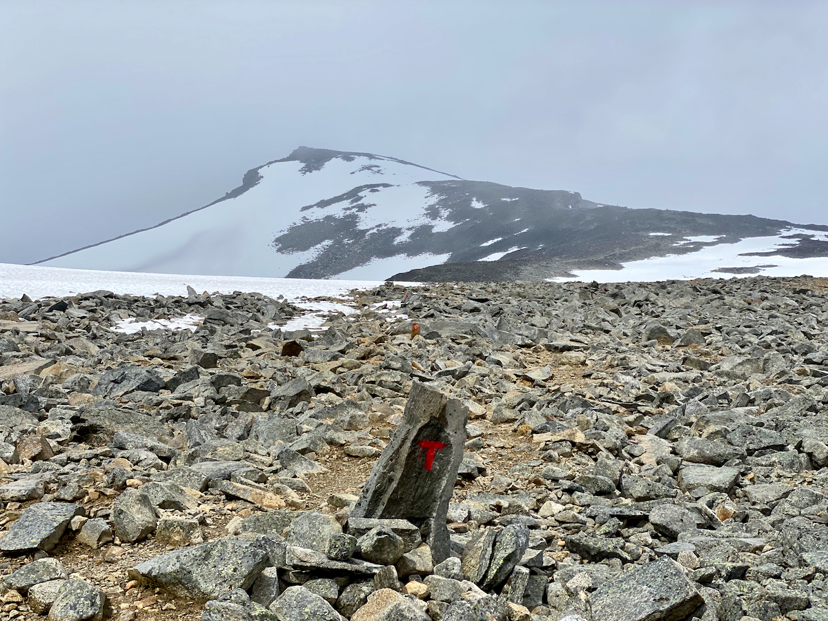
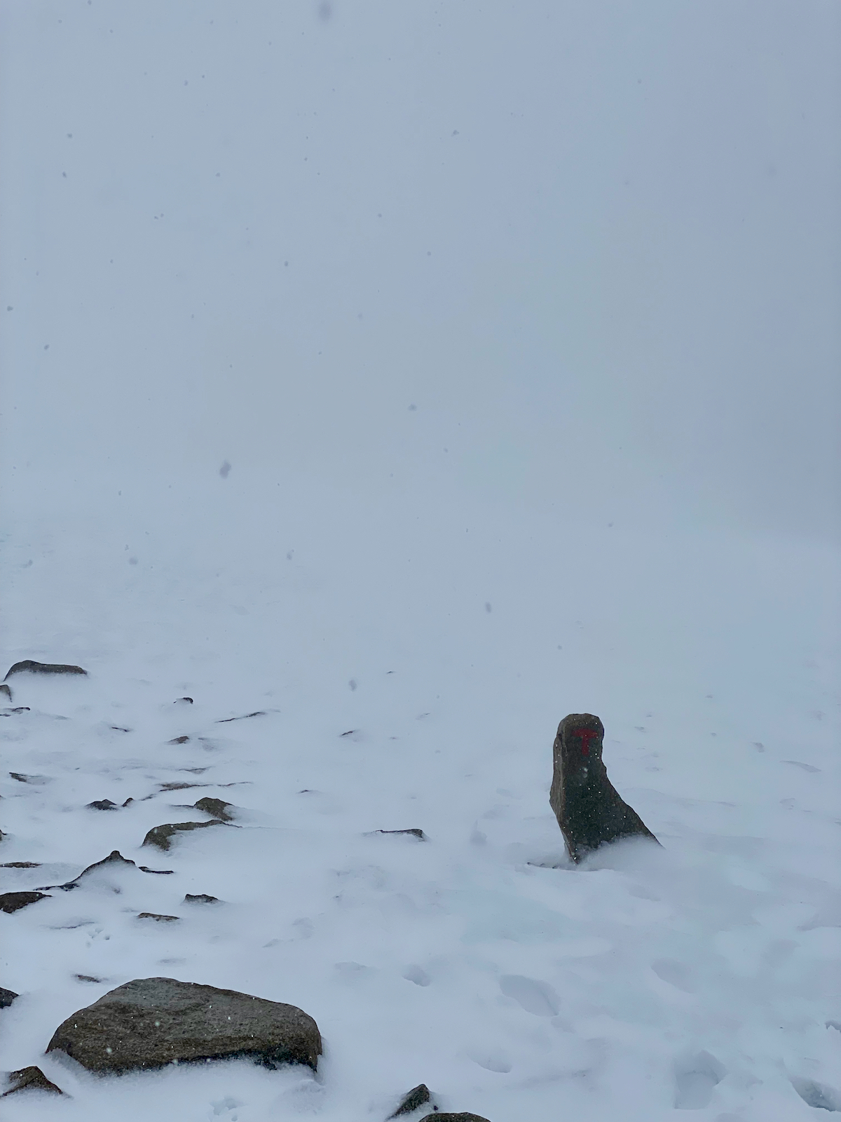
The trail is well marked with “T” signs, visibility is good and the rain showers are not too strong.
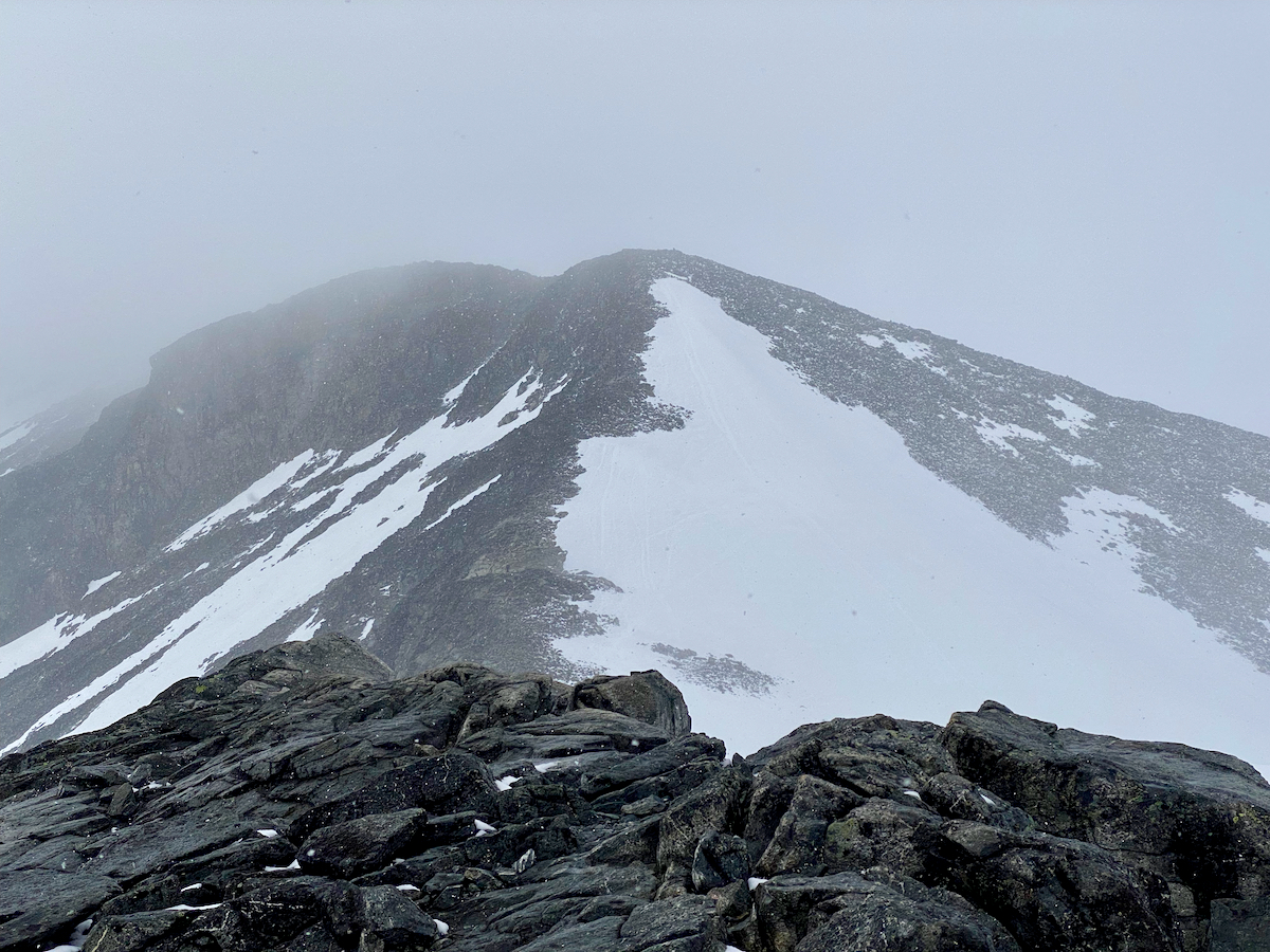
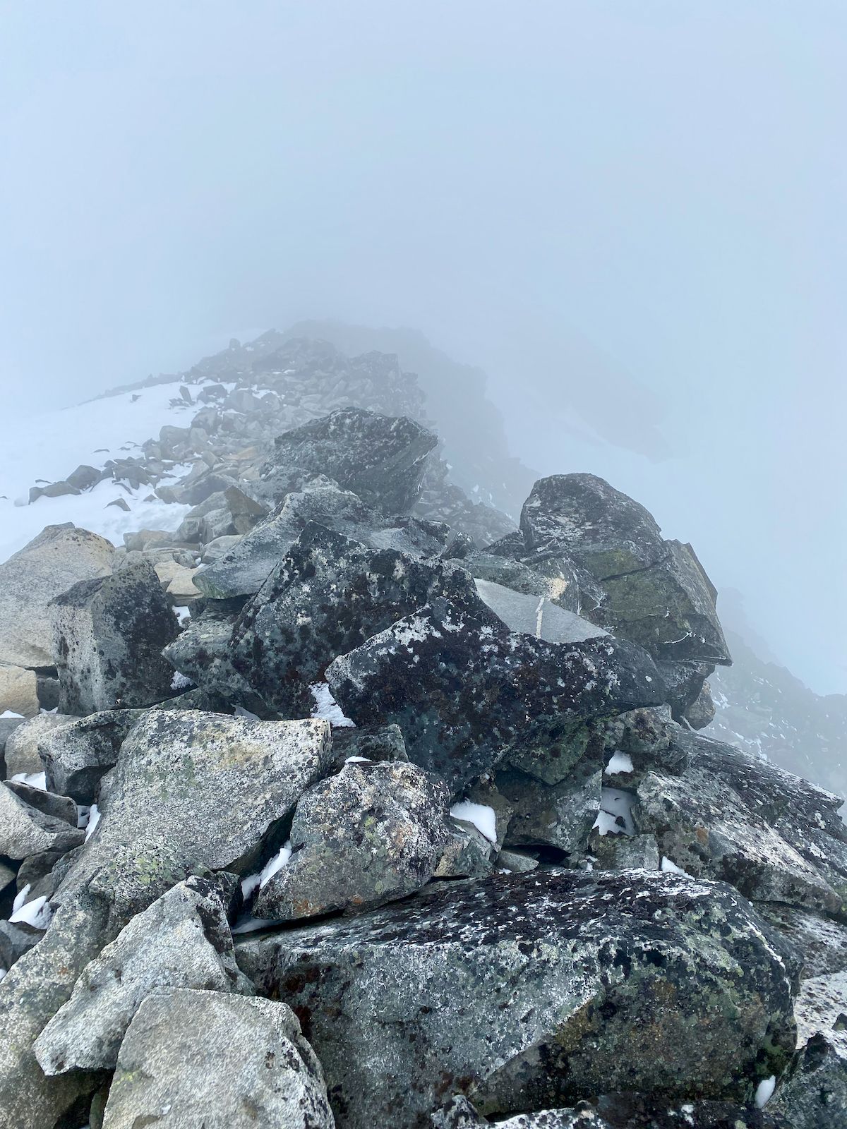
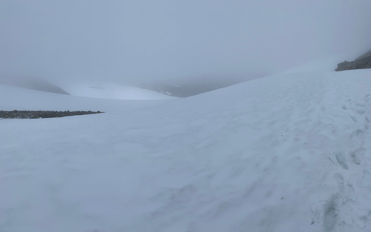
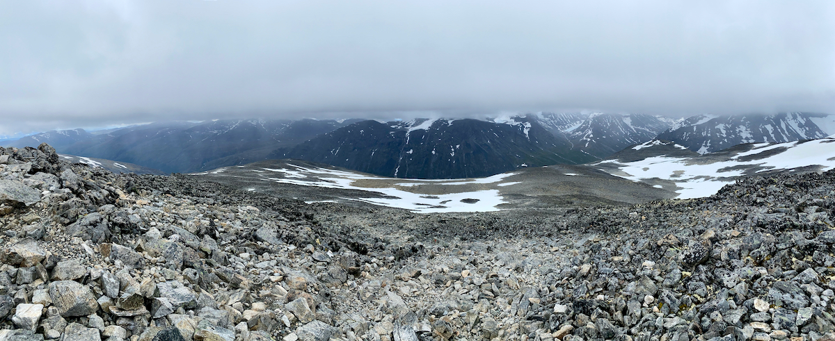
The trail soon gets more rocky and once we reach the first stretch of snow we even get a few moments without precipitation.
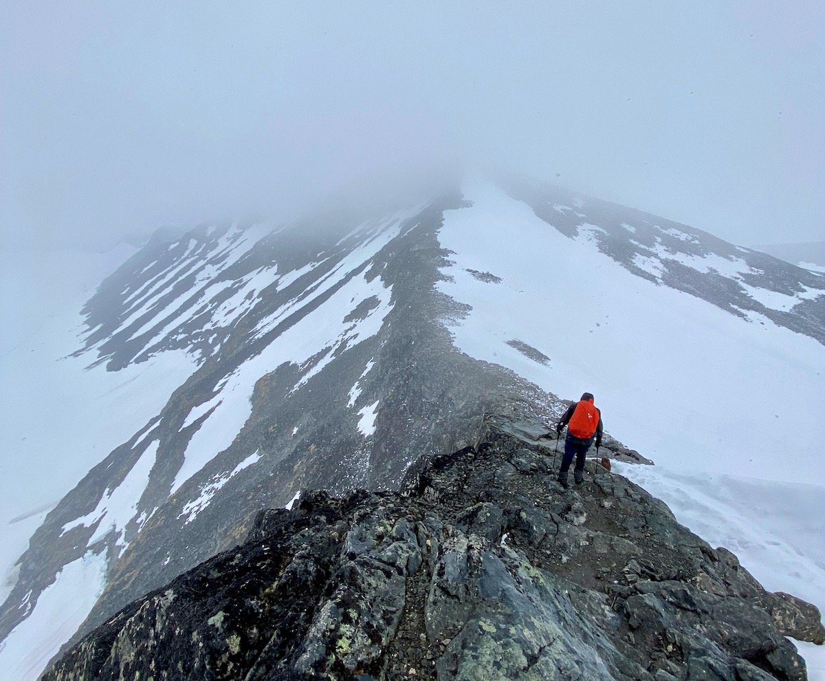
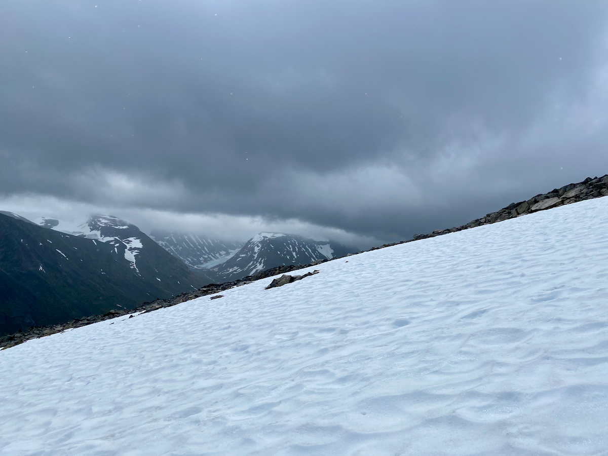
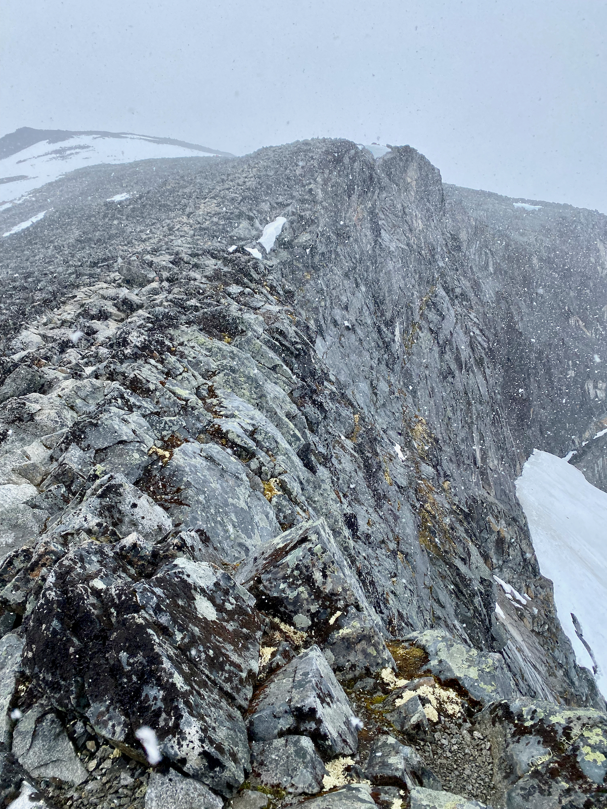
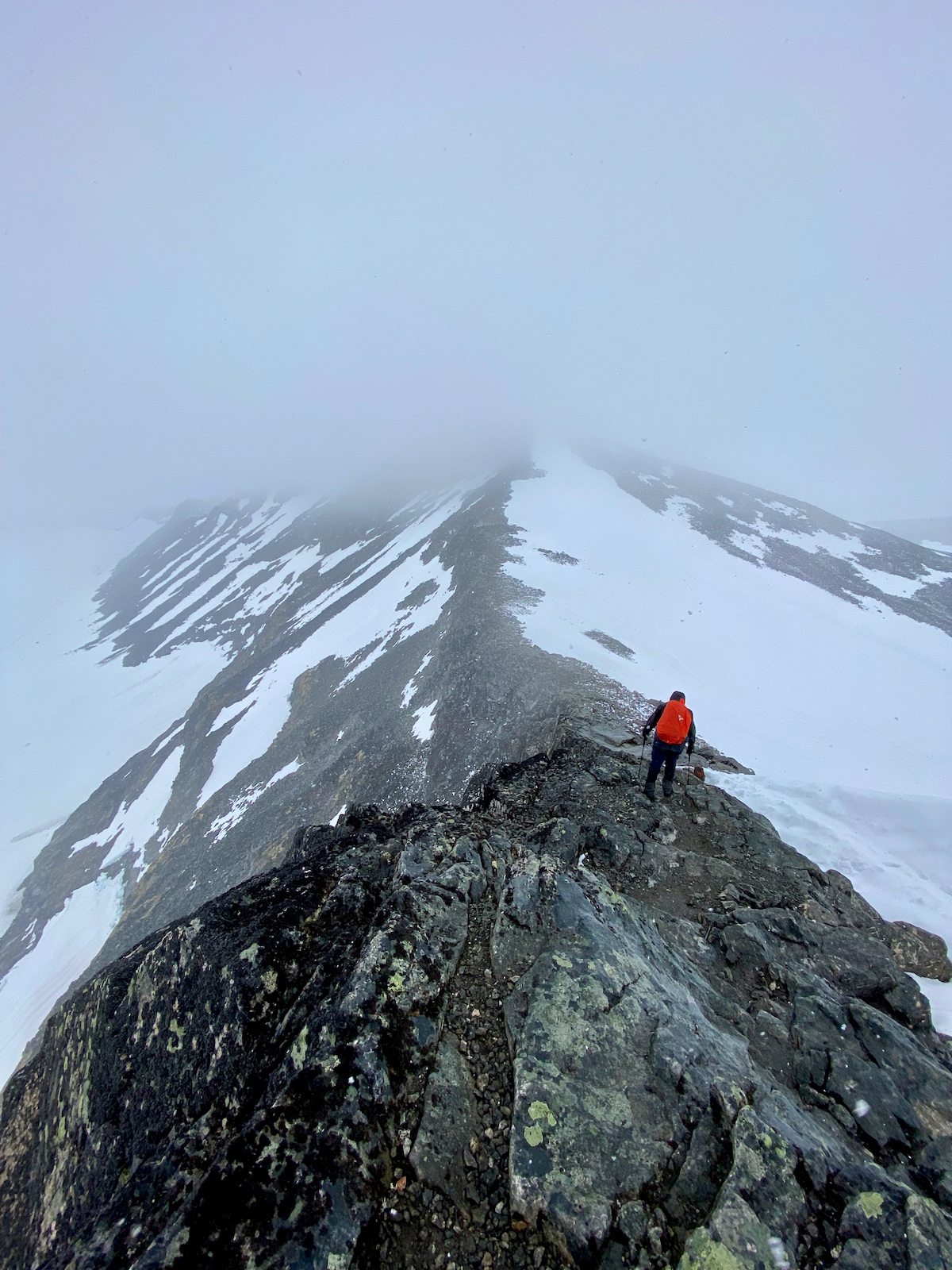
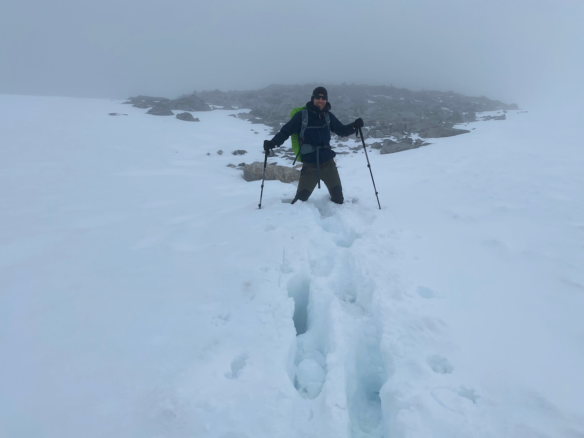
Looking up, though, we see rather dark clouds coming our way and soon get a taste of how the rest of the hike will look like.

Wind, snow, ice rain – and a warm cabin
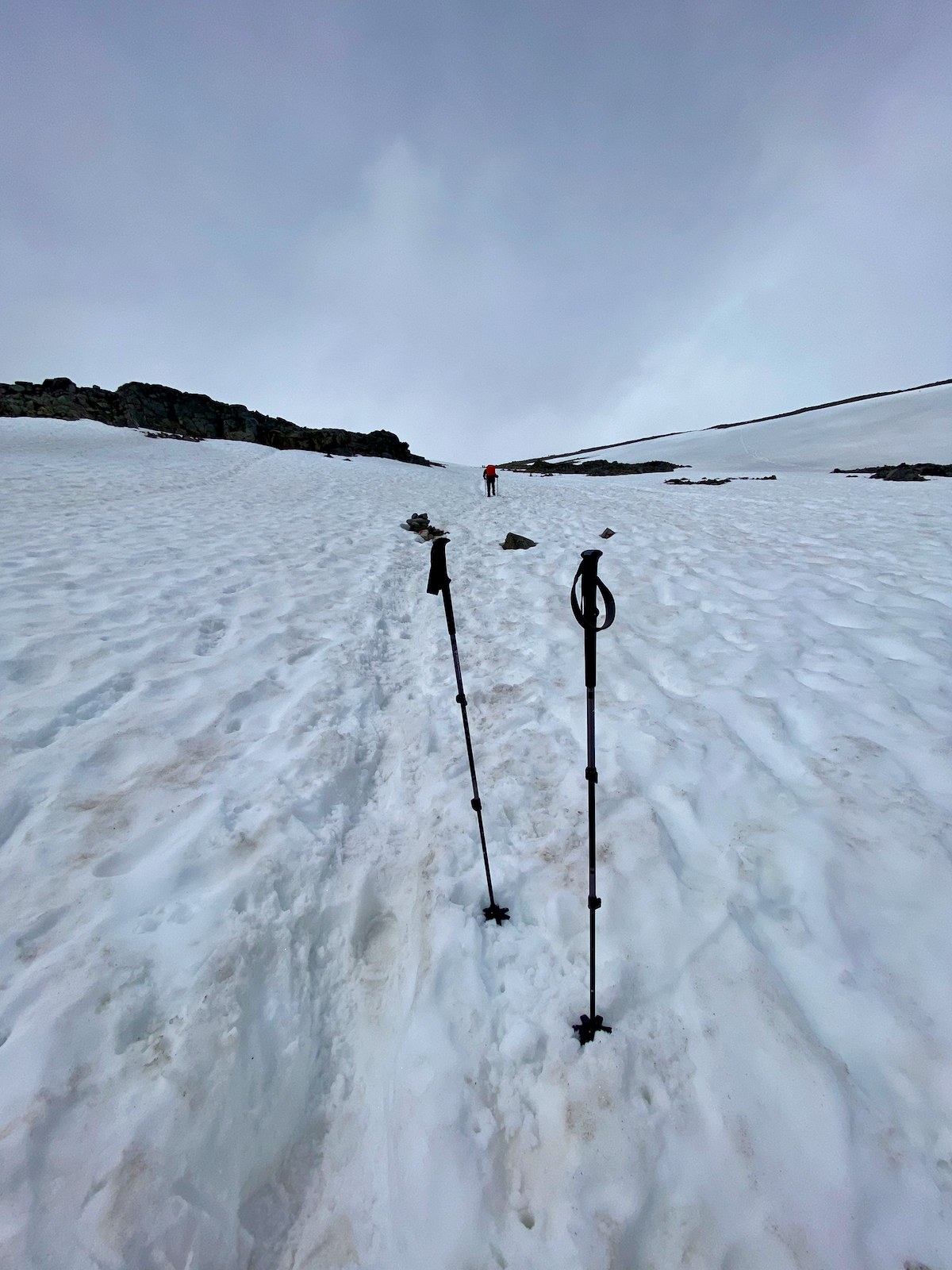
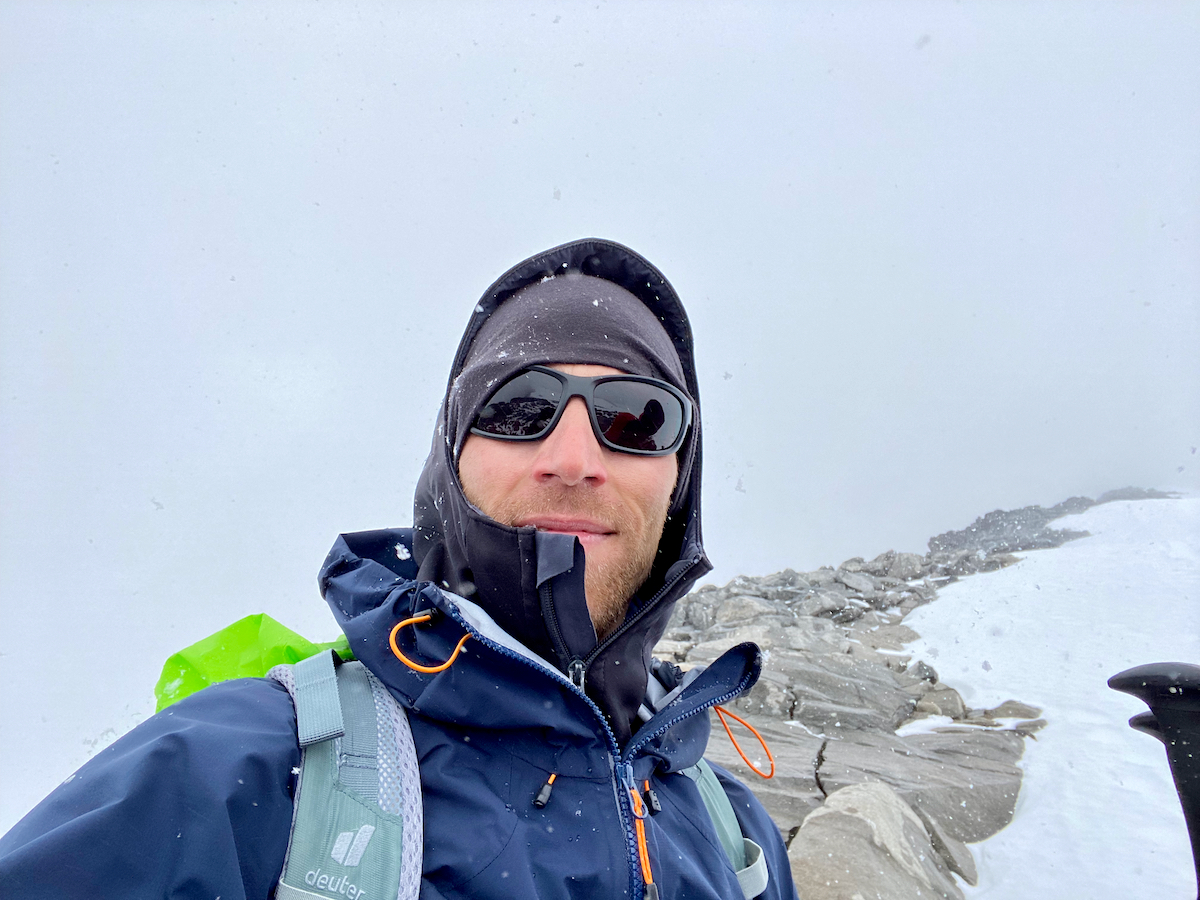
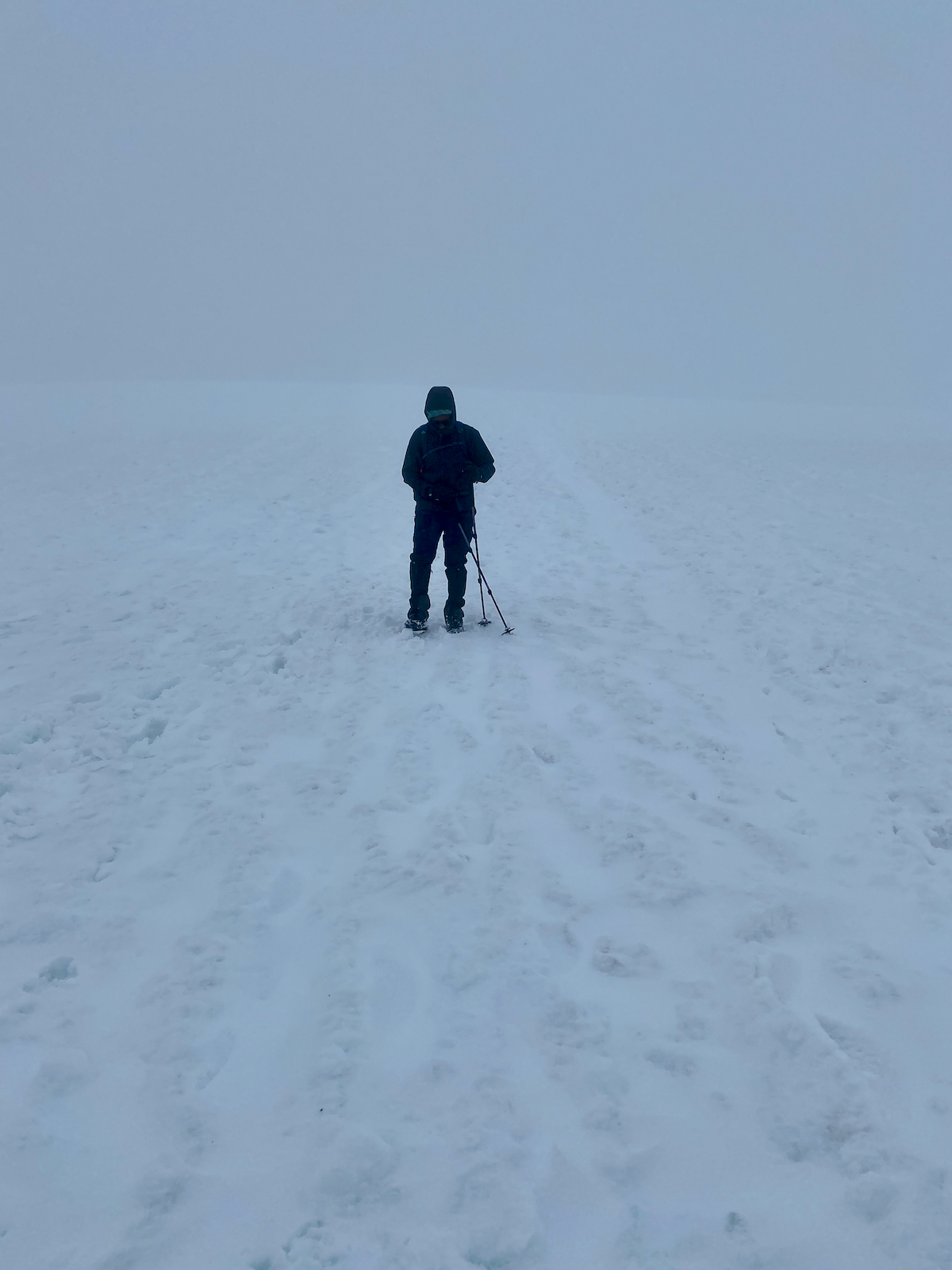
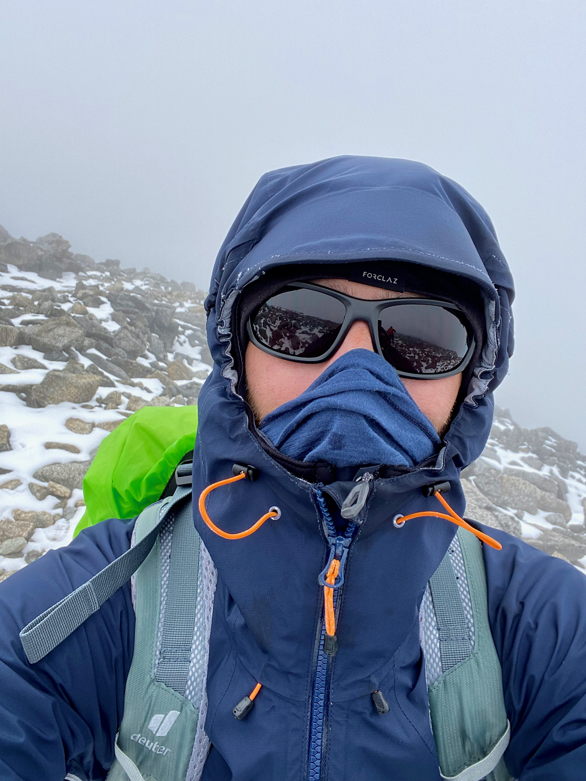
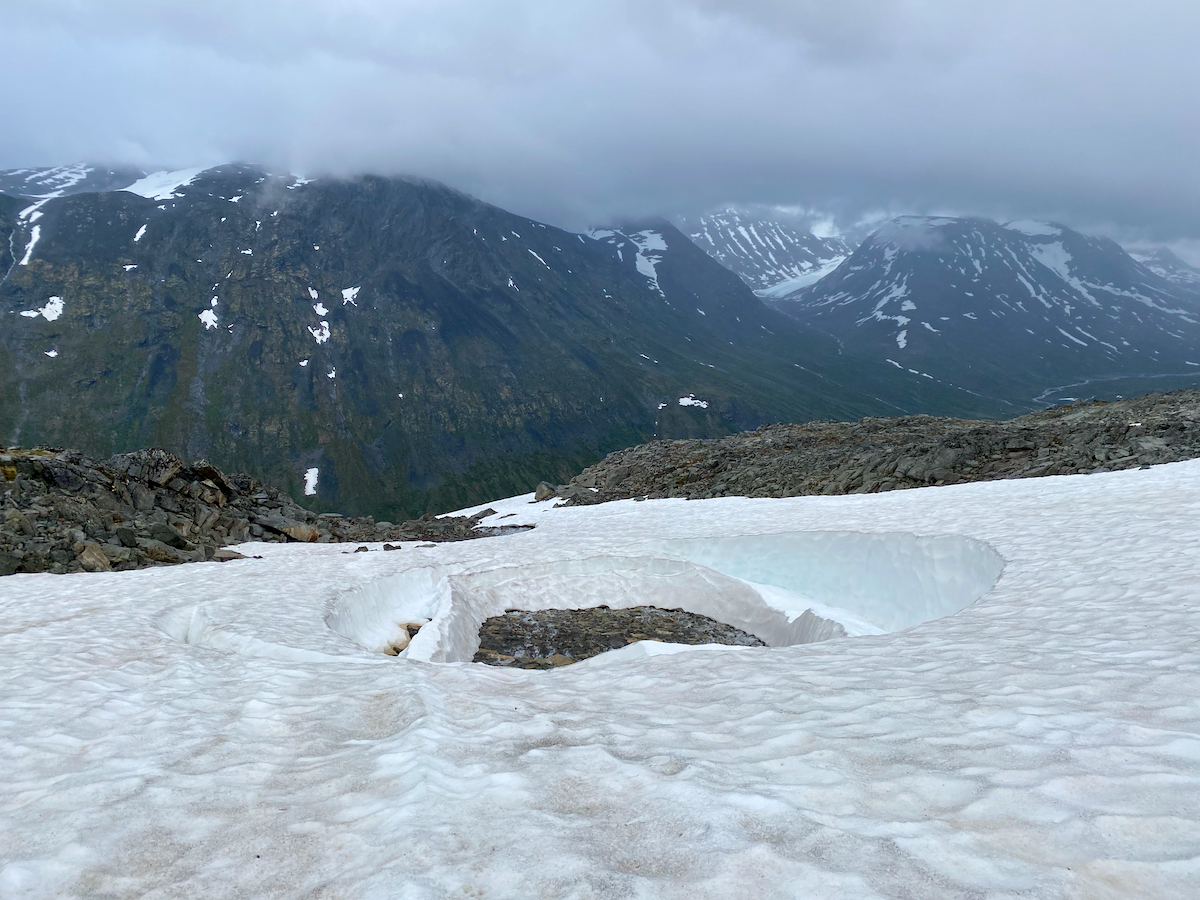
We are getting more snow as we progress, visibility is still OK, but the higher peaks in front of us slowly disappear. During the two other summits on the way, Svellnose and Keilhaus topp, the wind picks up, we get blown around a bit and get pierced by ice rain.
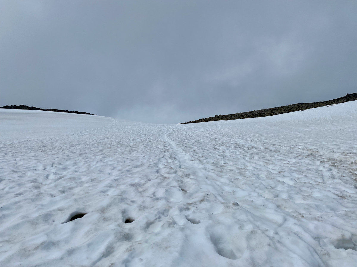
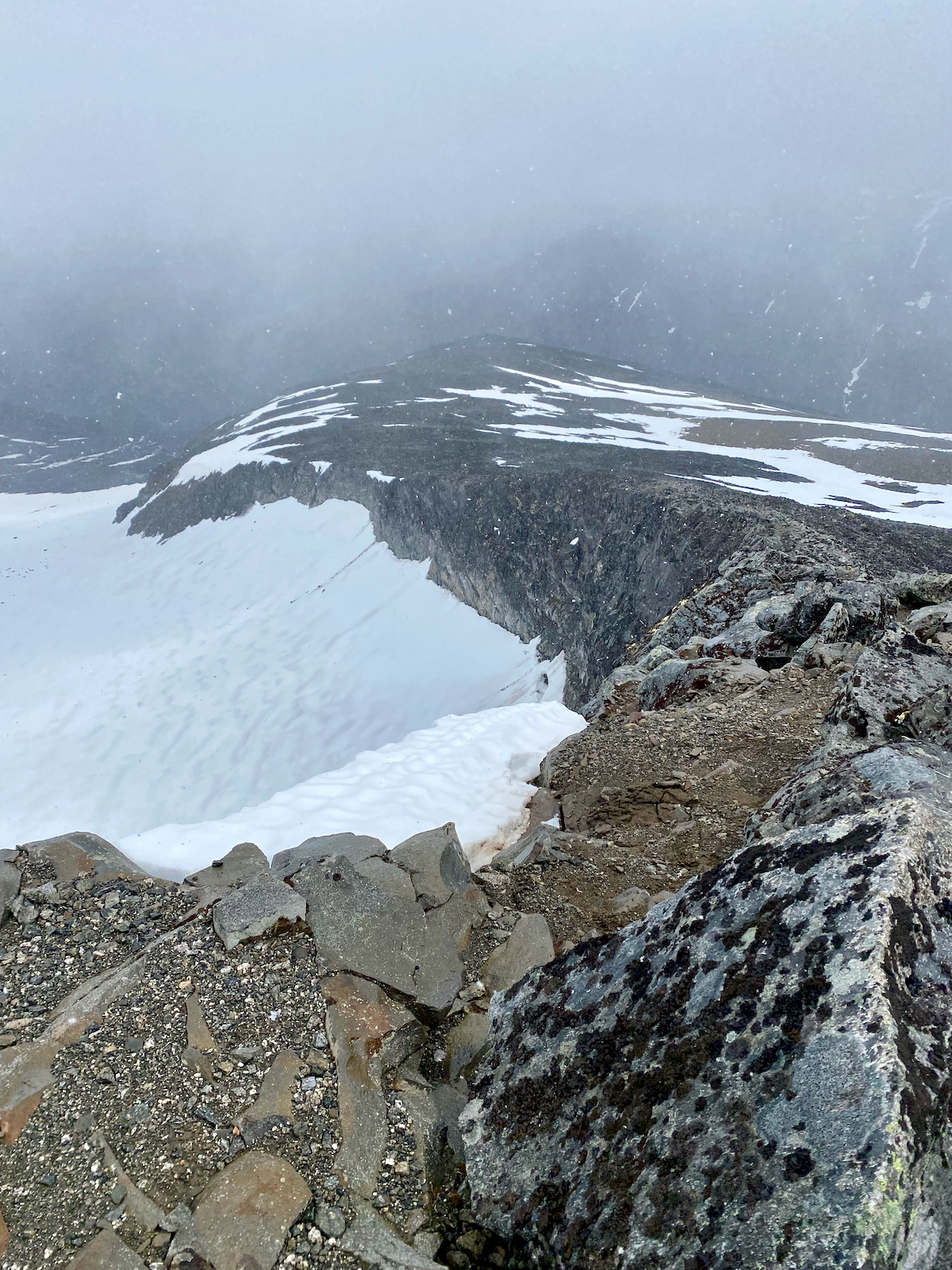
Due to the descreasing visibility the trail markings become harder to spot and especially the stretches of snow without marking become more difficult to navigate as foot steps of previous hikers are covered up quickly (we meet around one hiking party every hour or so).
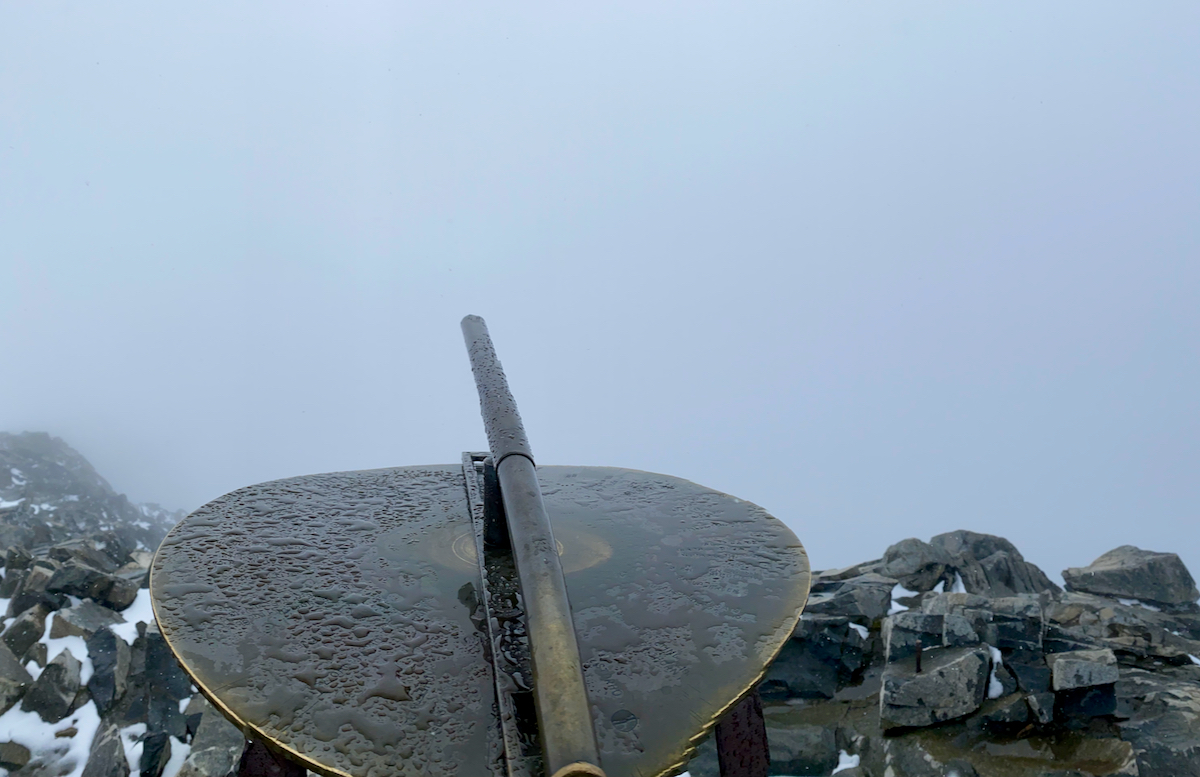
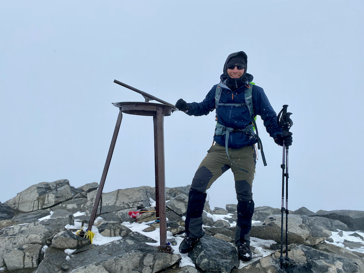
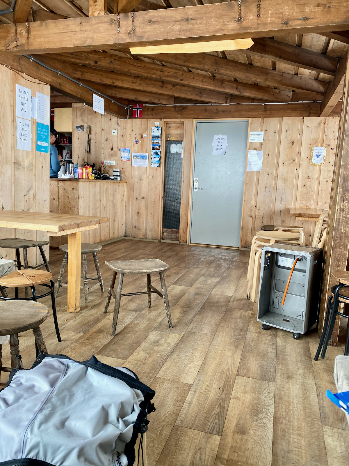
The final stretch to the cabin at the summit provides hardest to orient as we experience a whiteout on the way where every direction looks the same. Eventually, though, we make it to the mountain cabin – a place that is warm, windstill and serves some hot chocolate.
At the time of arrival, we meet one other hiking party plus one permanent staff (operating in a 5-day shift).
The descent
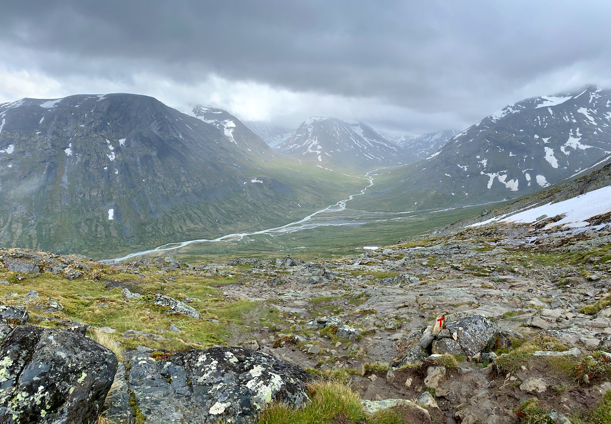
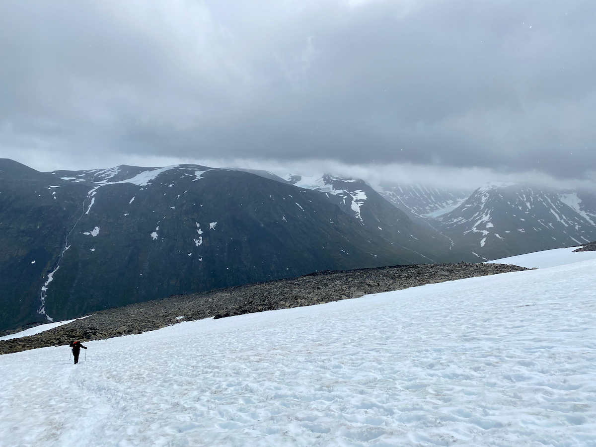
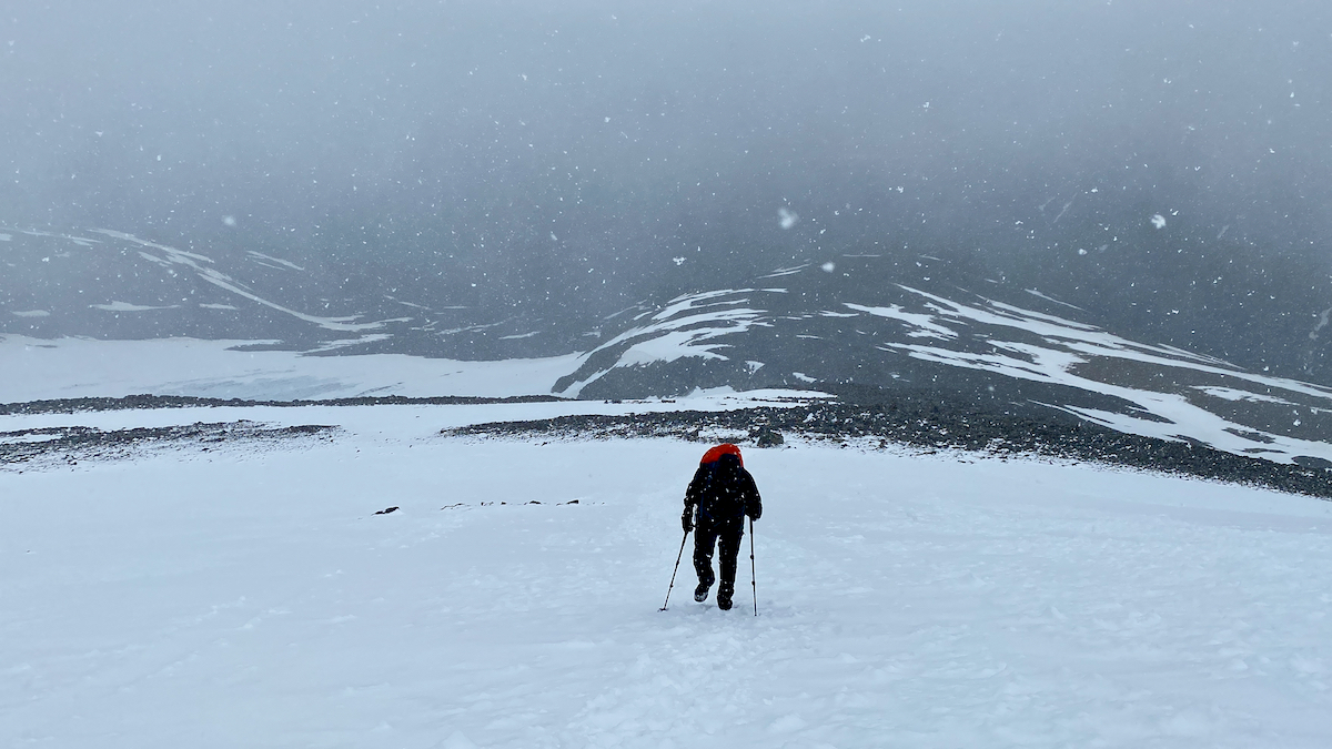
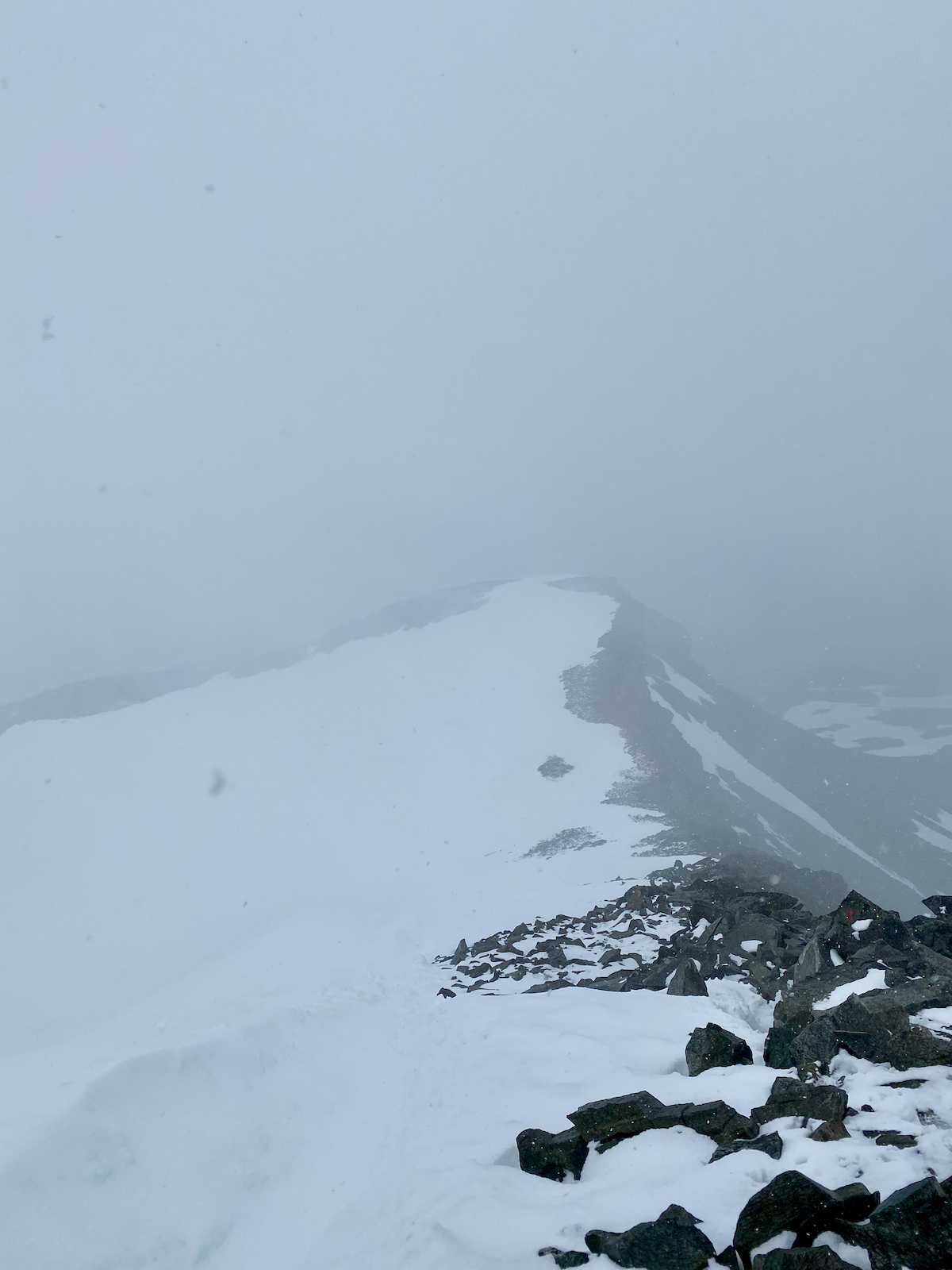
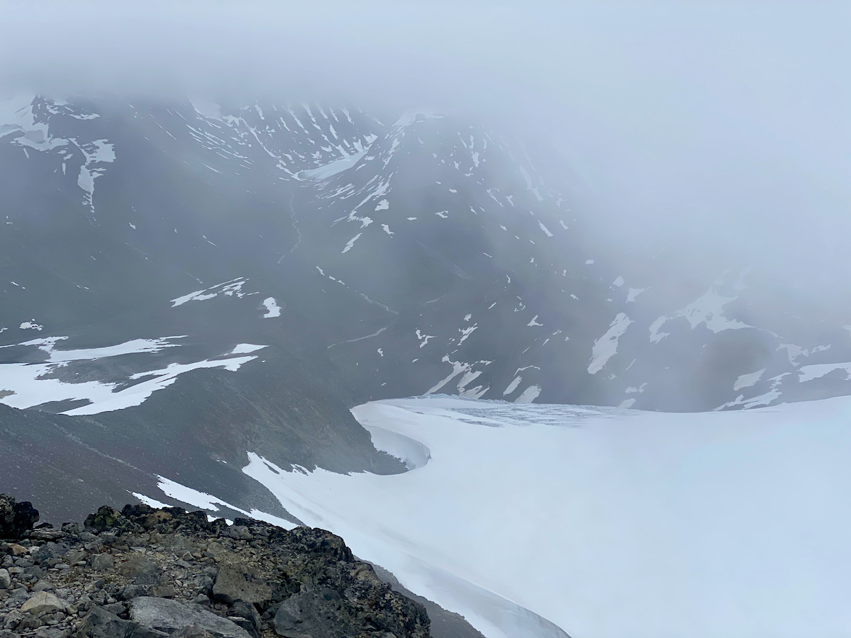
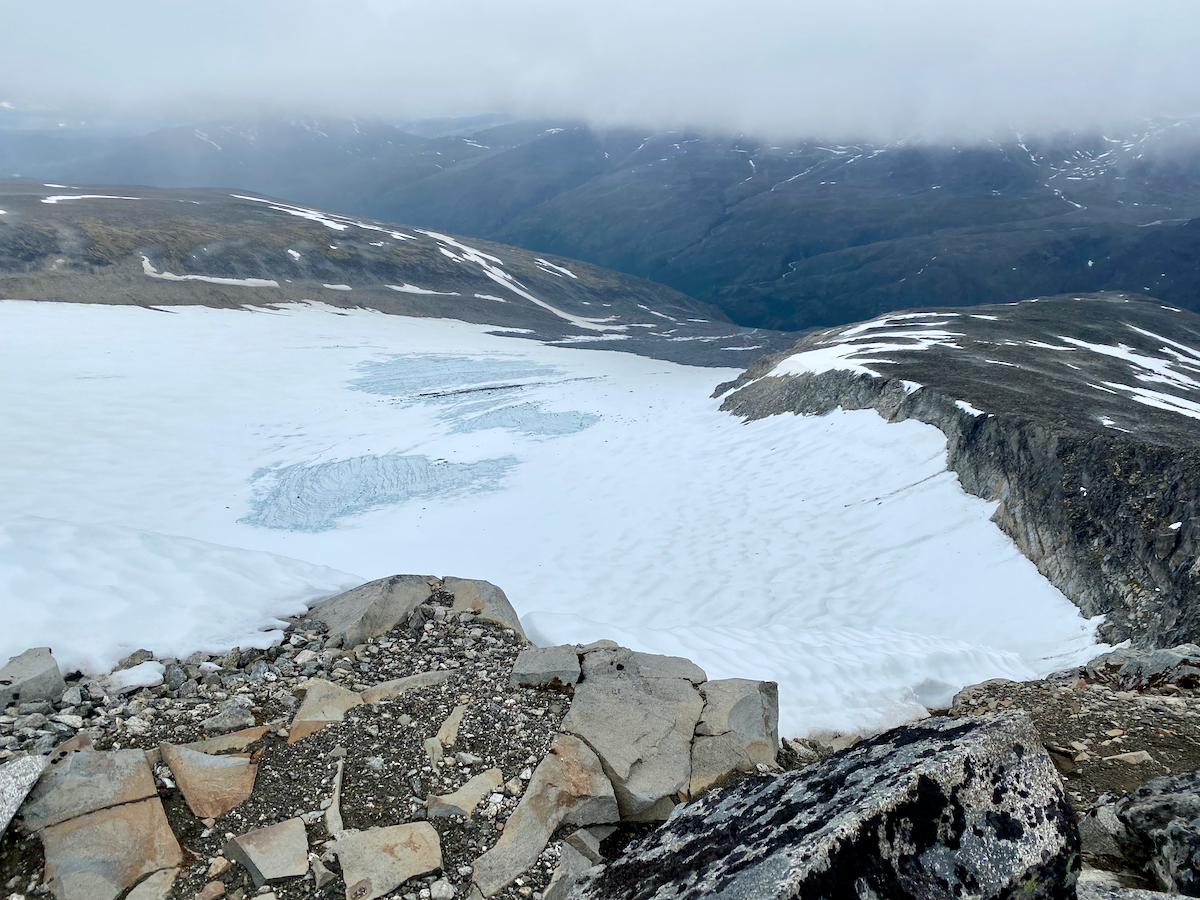
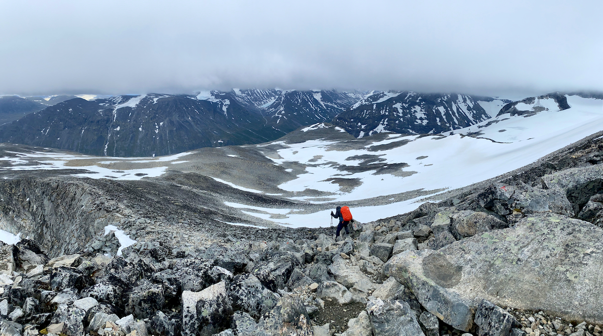
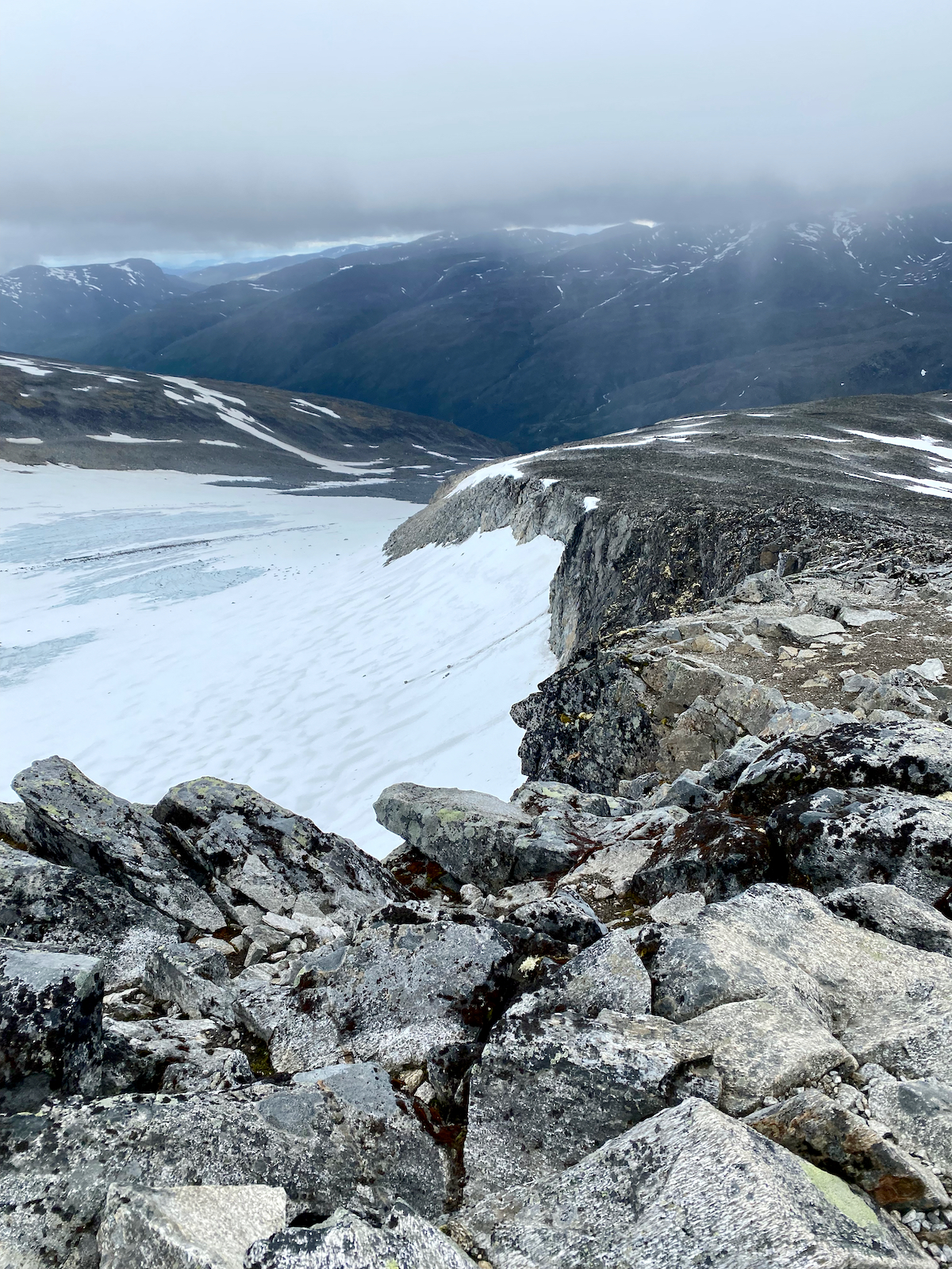
After warming up and eating a snack we start our descent. The weather doesn’t change much for the first 30 minutes or so but then gets much calmer as we progress further. So much, that we can actually get some views of the mountaineous area around.
On the final snow stretches we can even speed up a bit by descending on our butts :-)
We still experience some light rain on the final hike down to Spiterstulen, but eventually the sky clears and we arrive in “dry” conditions.
Tracking and conclusion
Unfortunately, I don’t have accurate tracking data for this trail as my Apple Watch died during the cold wind and my seconday GPS device also couldn’t handle the cold air until the end. But you can find details about the route on almost any site providing trails, e.g. here on AllTrails.
While a challenging route, the weather makes all the difference here. I can imagine this route to be much, much easier in good weather conditions. The trail from Spiterstulen to Galdhøpiggen doesn’t cross a glacier, no technical climbing and no special equipment is required. Some sections involve light scrambling. Gaiters and trekking poles are highly recommended.