12. July 2023
5-Day Trek Around Santa Maria, Azores

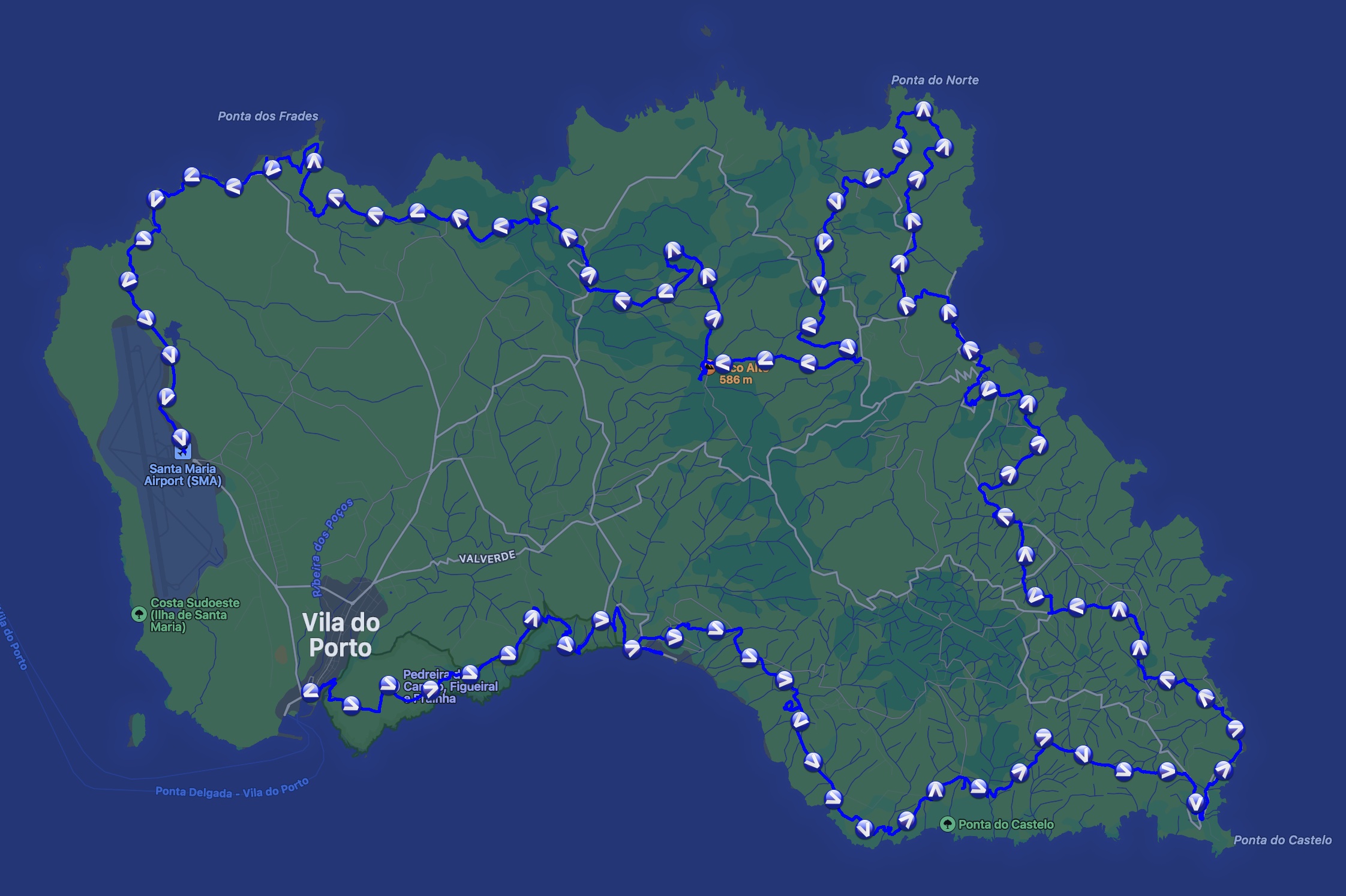
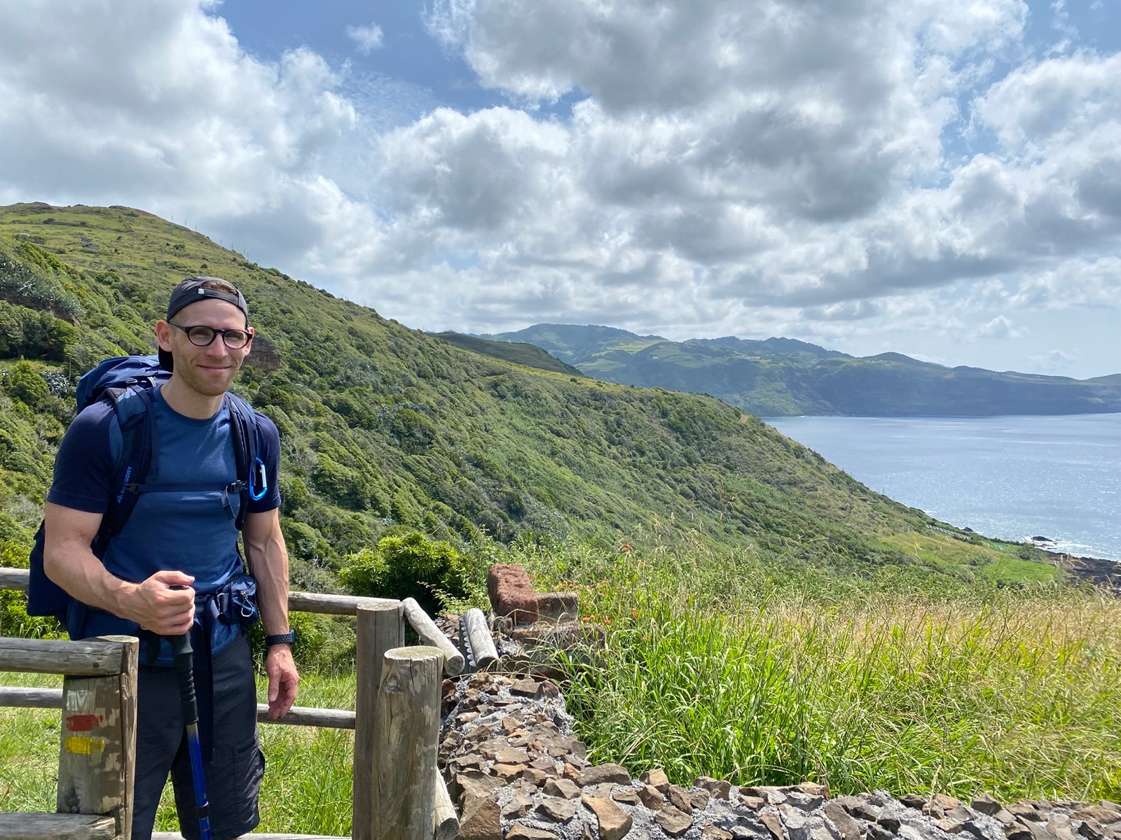
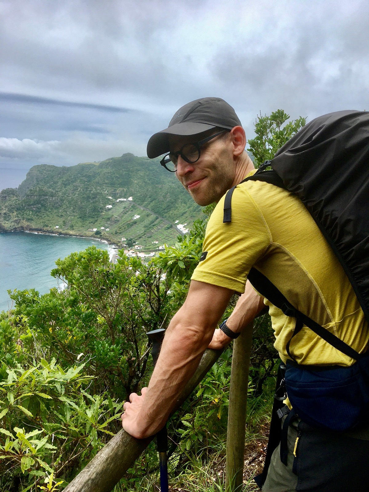
In the beginning of July we flew to Santa Maria, an island of the Azores archipelago, to do the 5-day Grand Route (GR01SMA) circular trek.
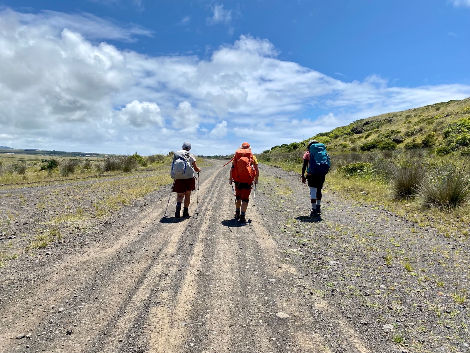
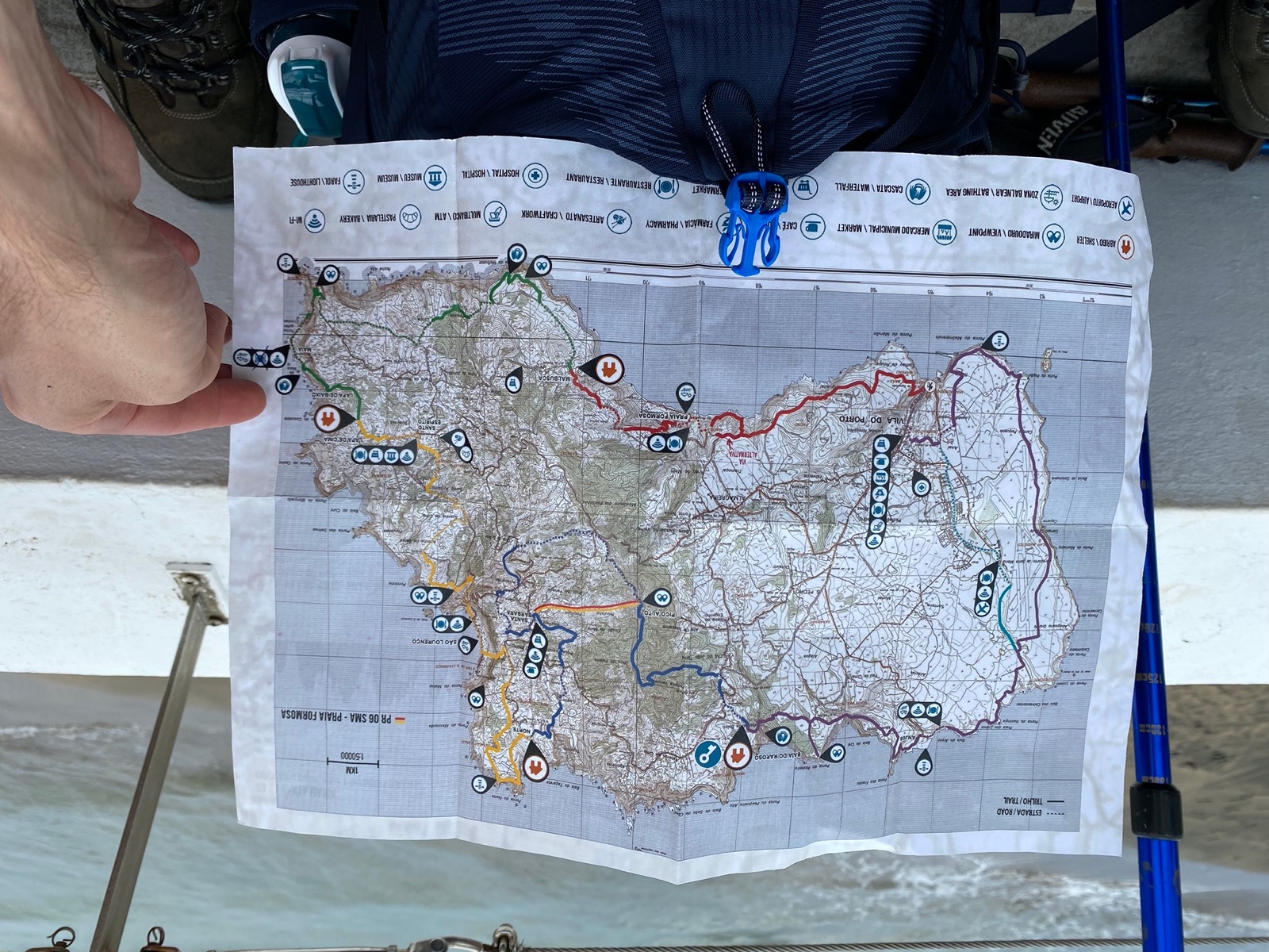
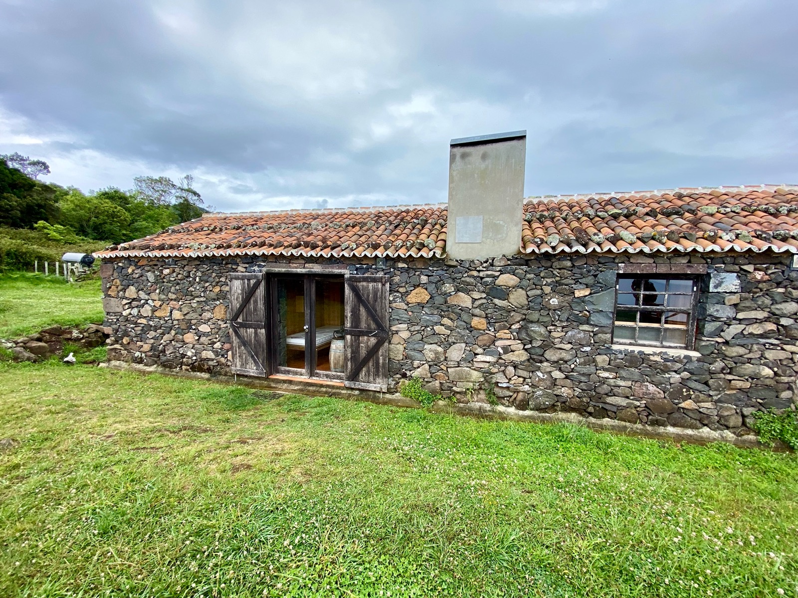
We booked the shelters ahead of time through Ilha a Pé and spent a total of five days hiking, with four nights in four different converted old barns.
Day 1 (13.3km, 690m ↗)
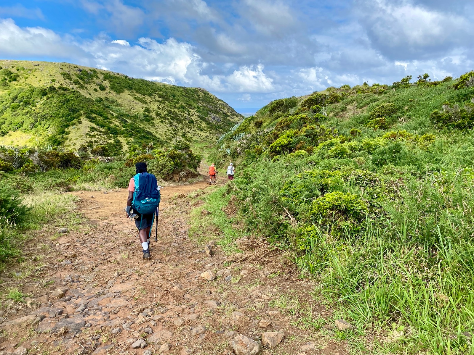
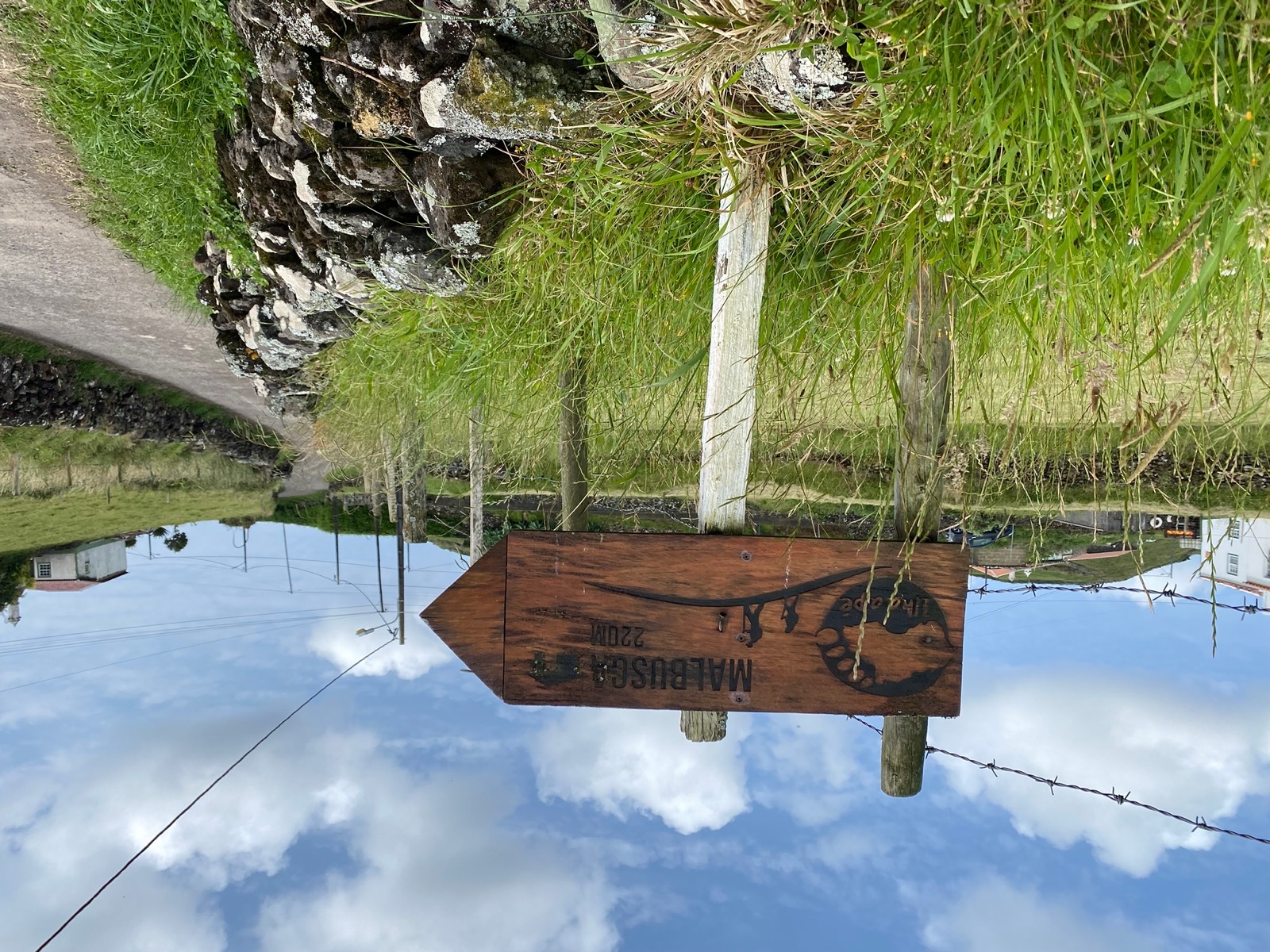
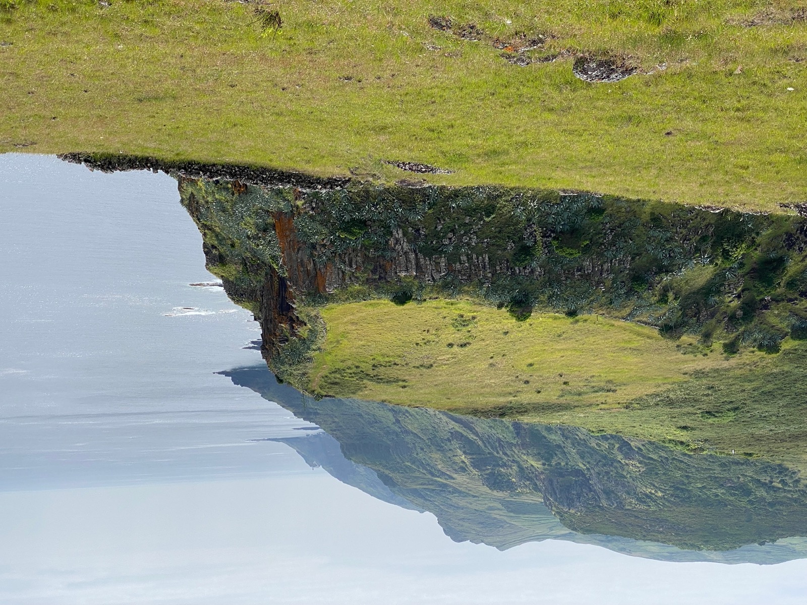
Our trek started in Vila Do Porto from where we went eastwards via Praia Formosa towards Malbusca.
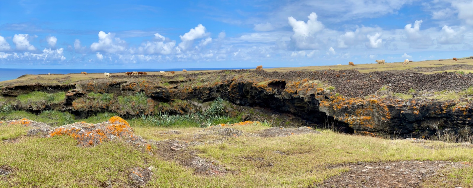
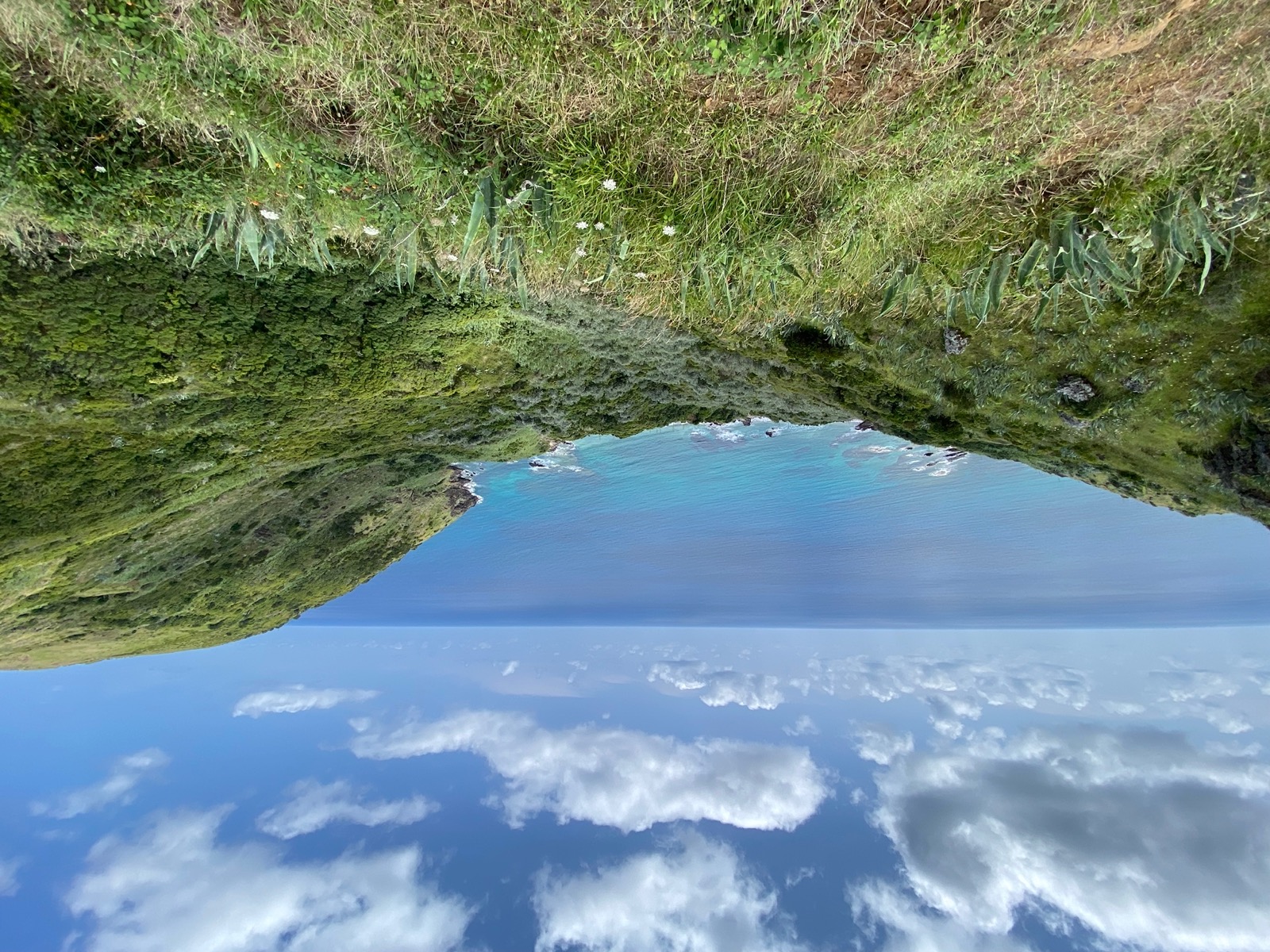
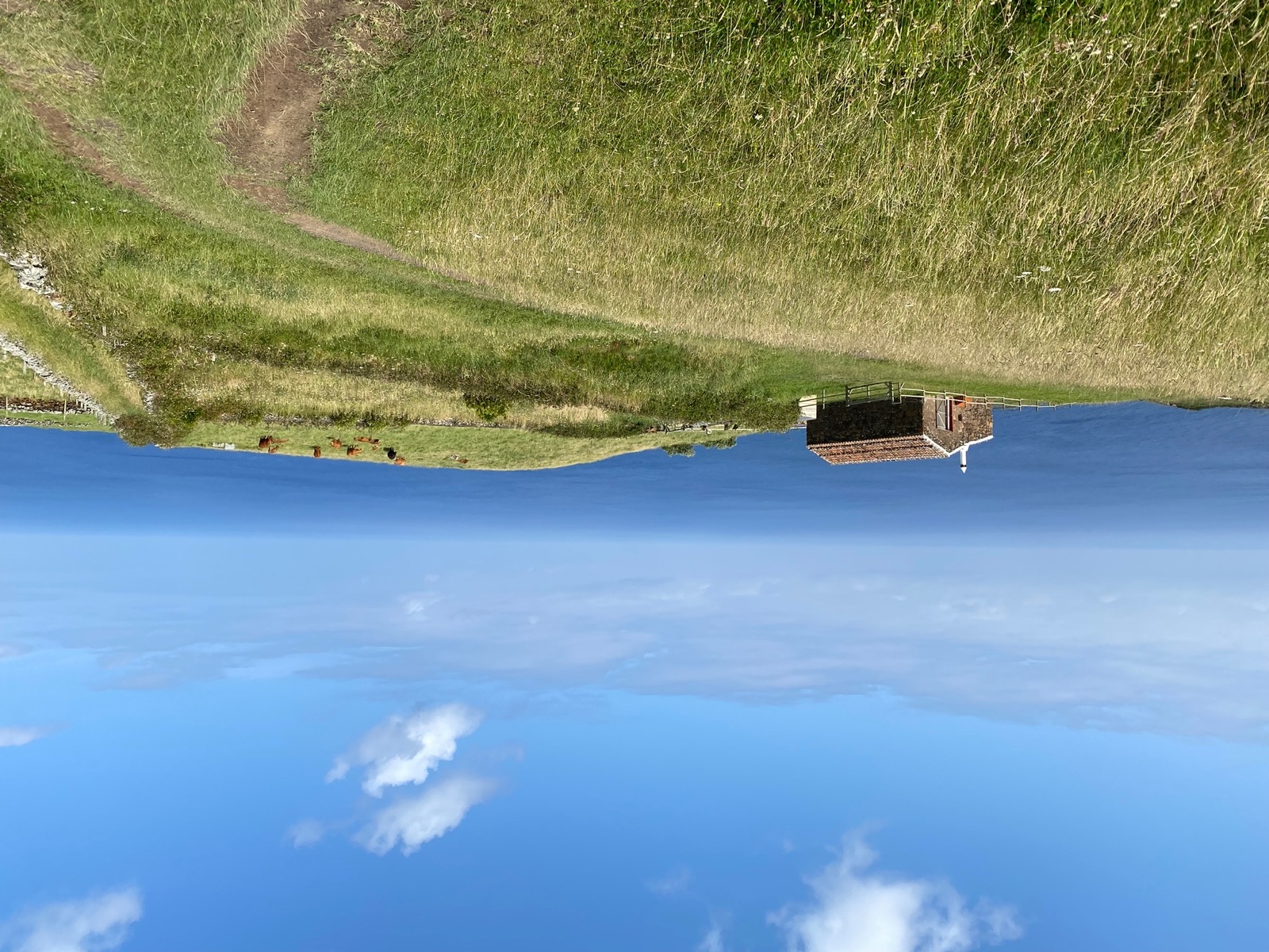
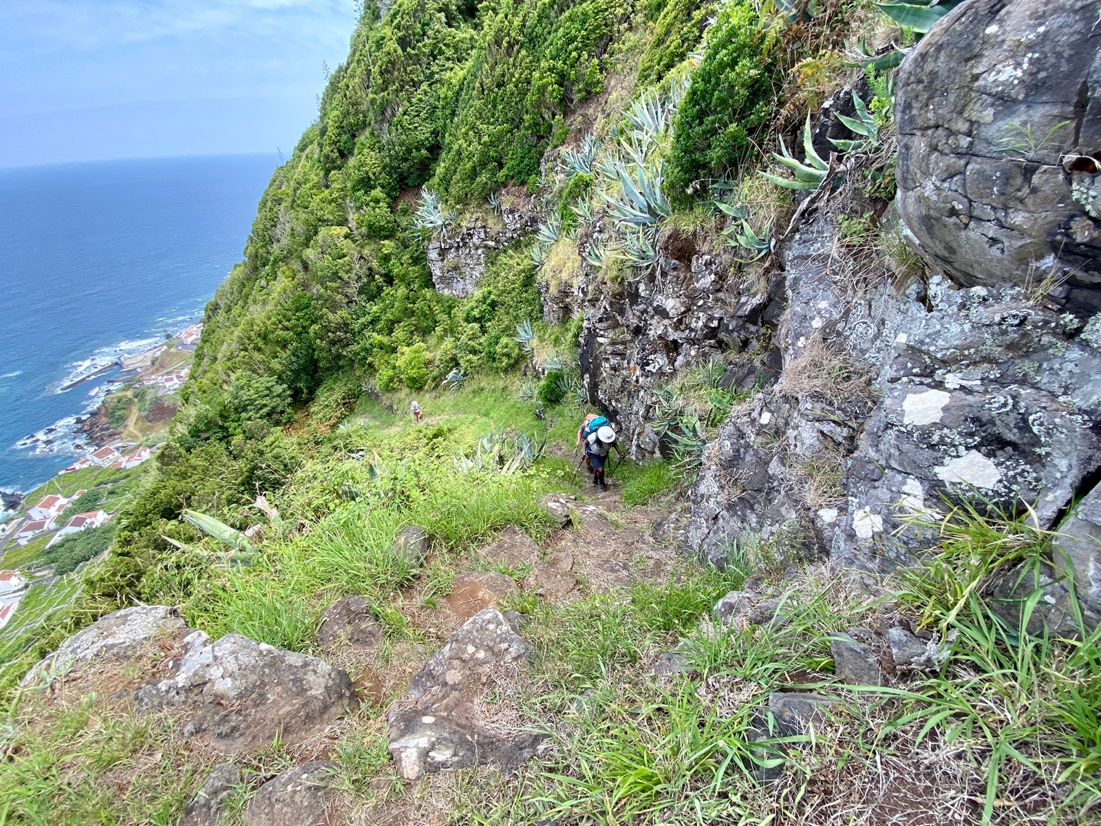
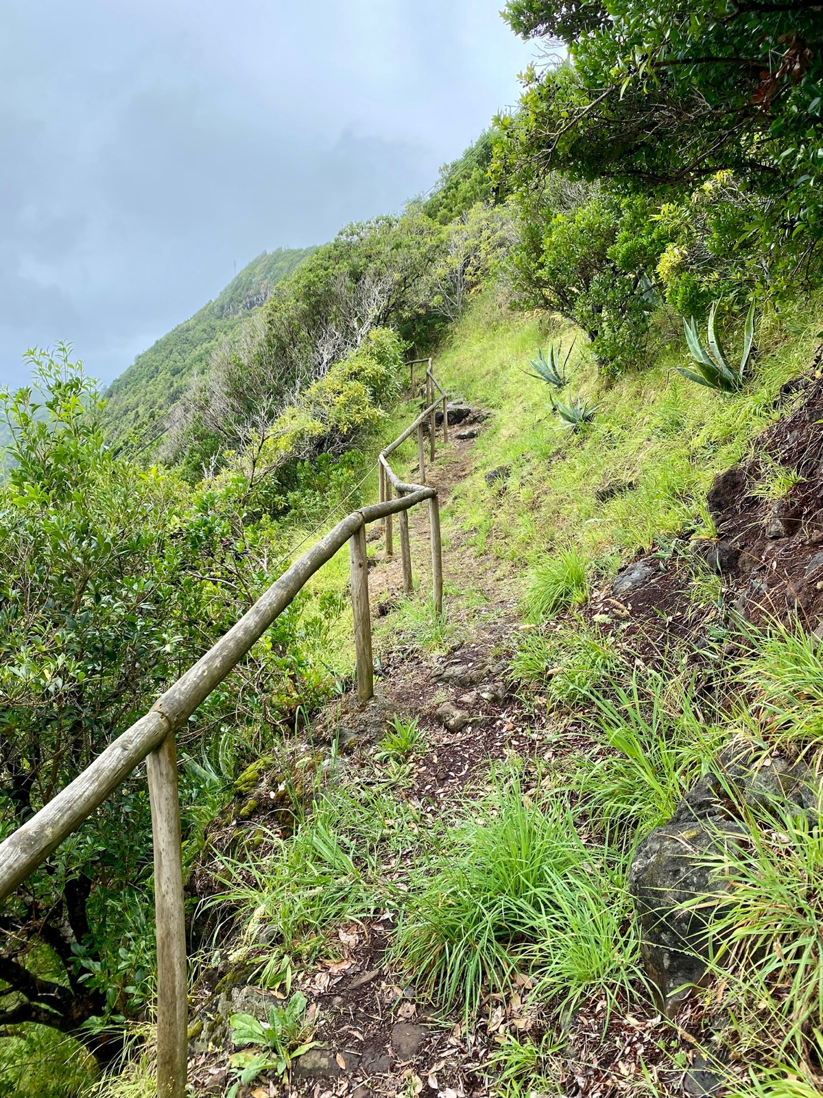
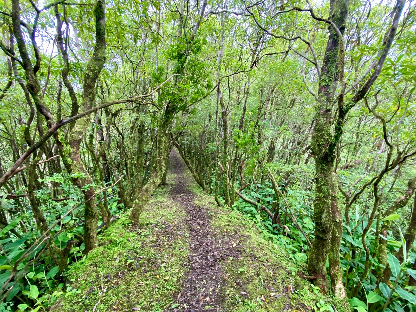
The grassy trail led us slowly up and along the cliffs, offering multiple panoramic ocean views.
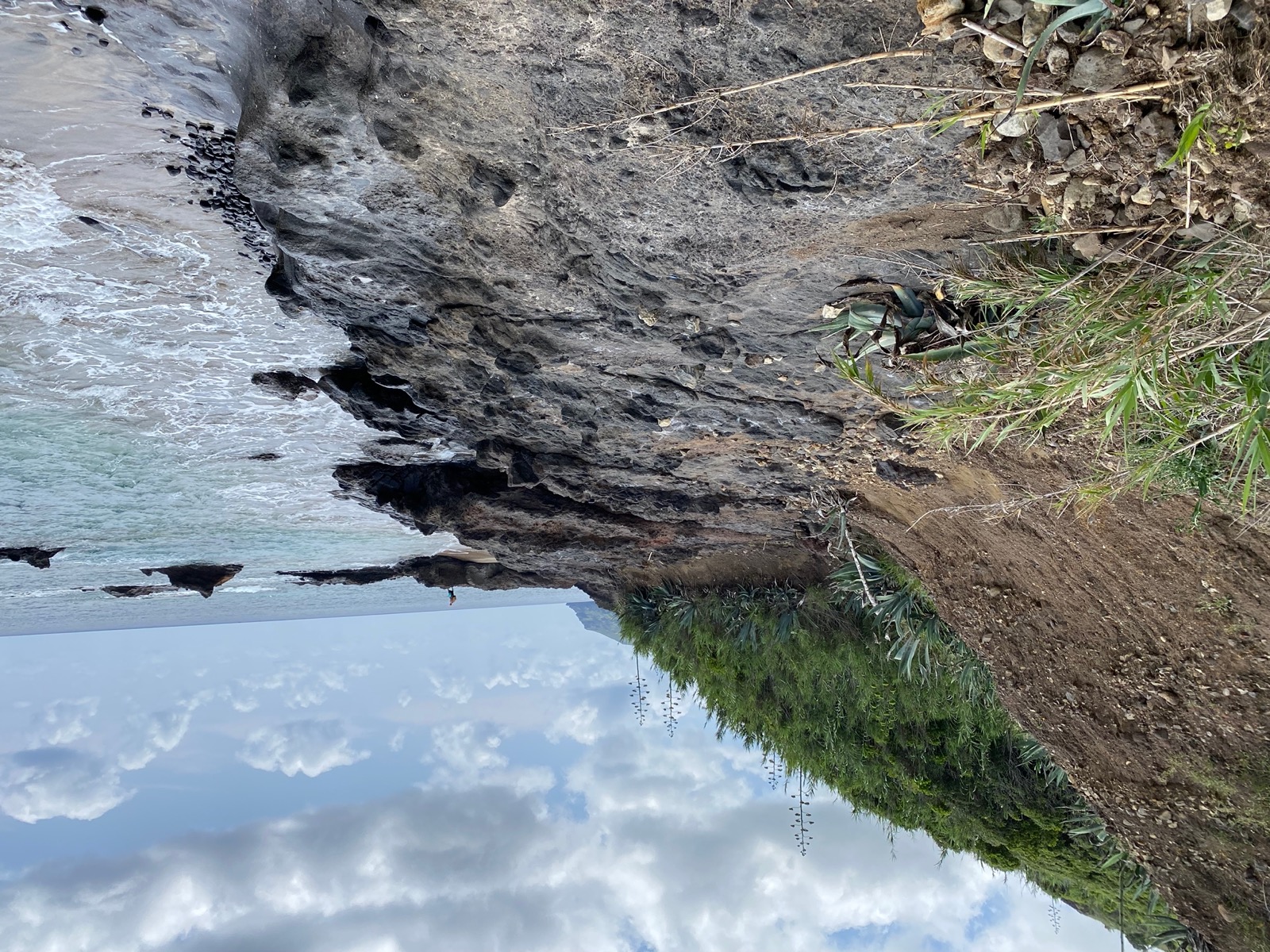
After about 6.5 kilometres (first half of the section) we descended towards a rocky beach for a short section along the water.
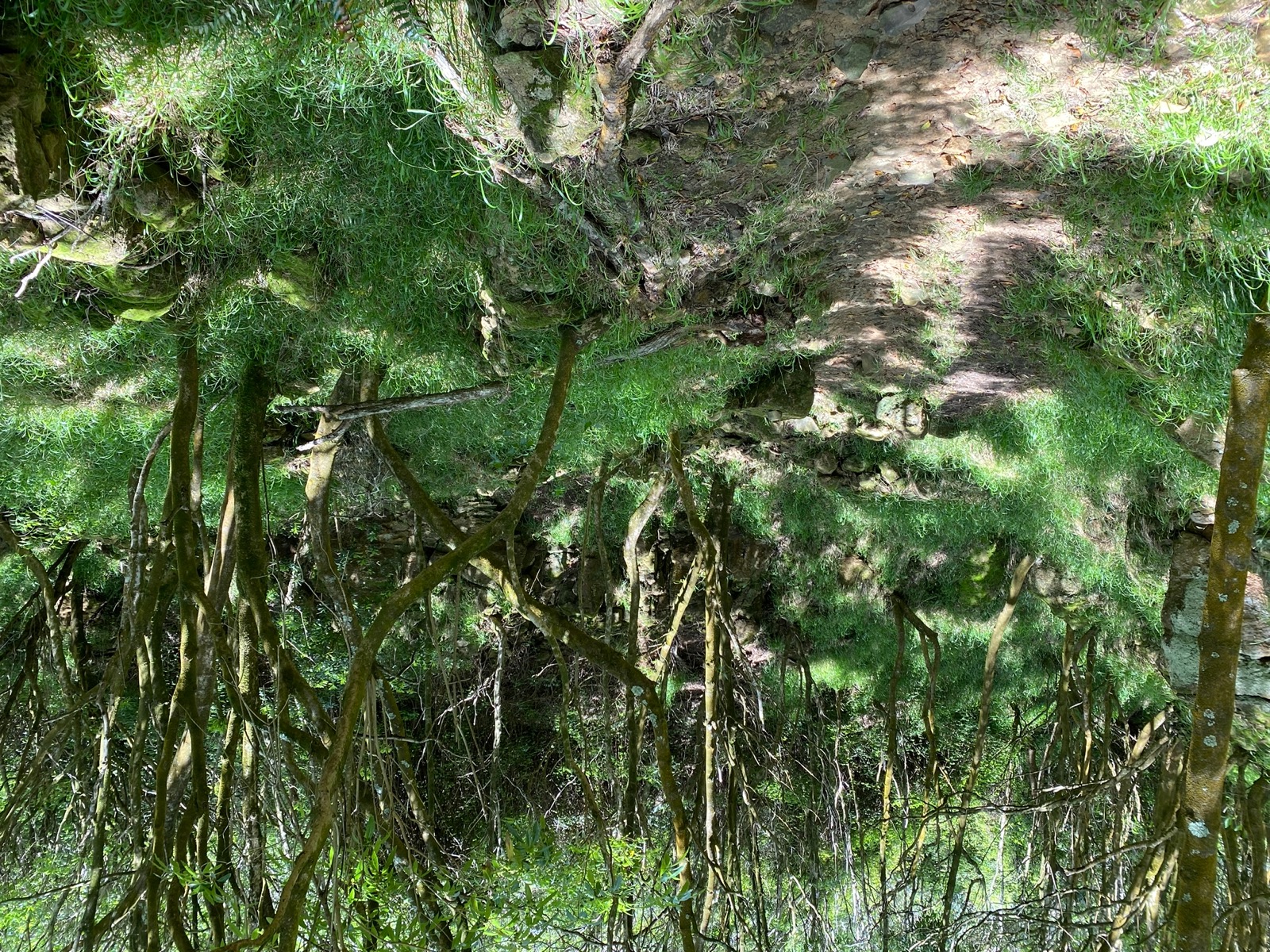
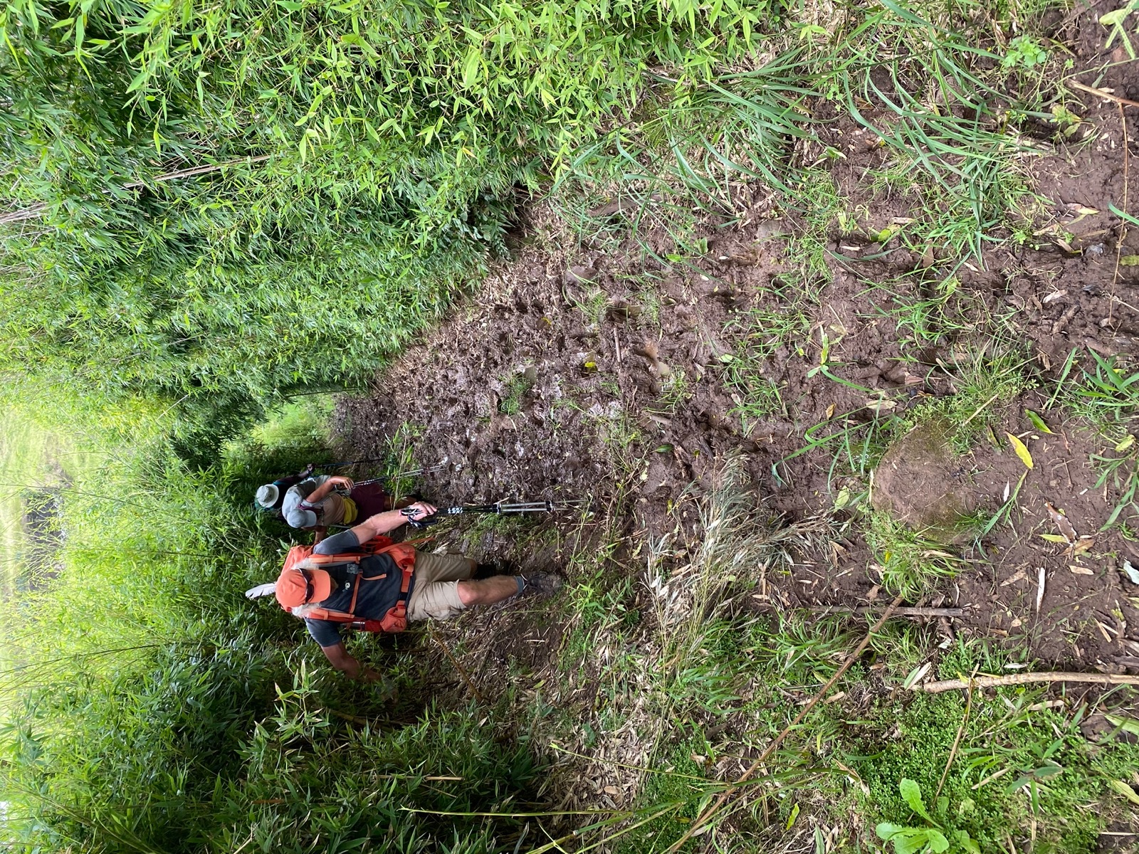
A little up and down later, we took a break at Praia before ascending about 250 meters through grassy, then extremely muddy and finally rocky terrain. After a total of 13.3 kilometres and 690 meters of elevation we reached our first hut in Malbusca.

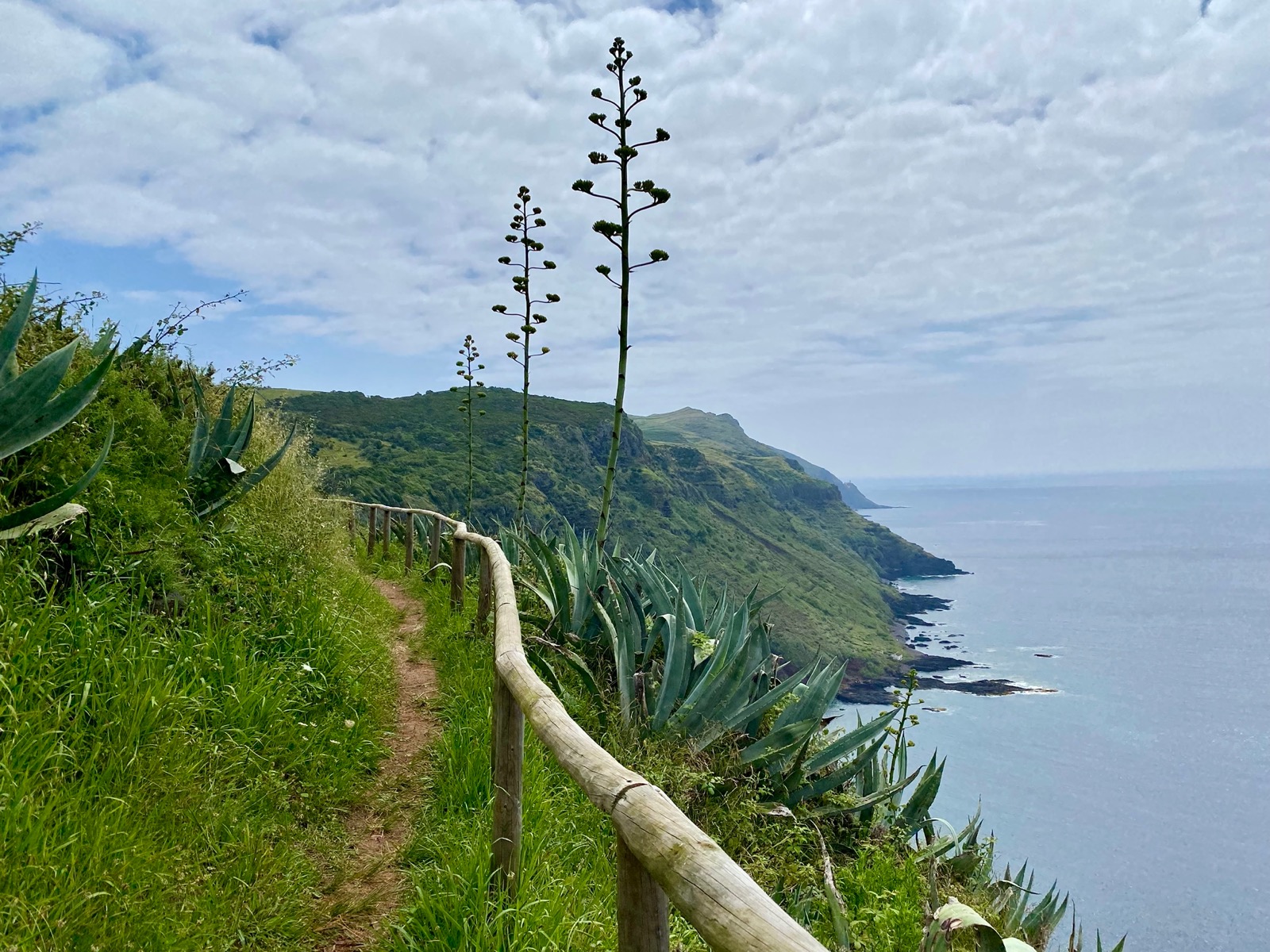
Day 2 (14.3km , 650m ↗)
Just like the day before we started at around 10am with sunshine and a comfortable temperature of 21 ºC.
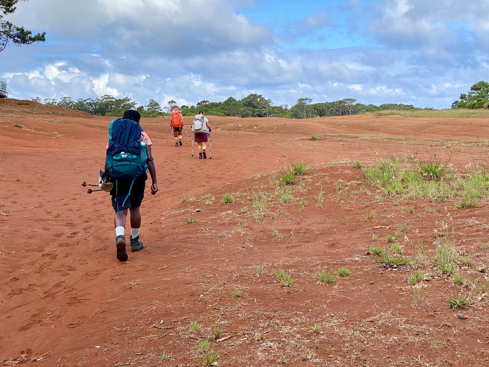
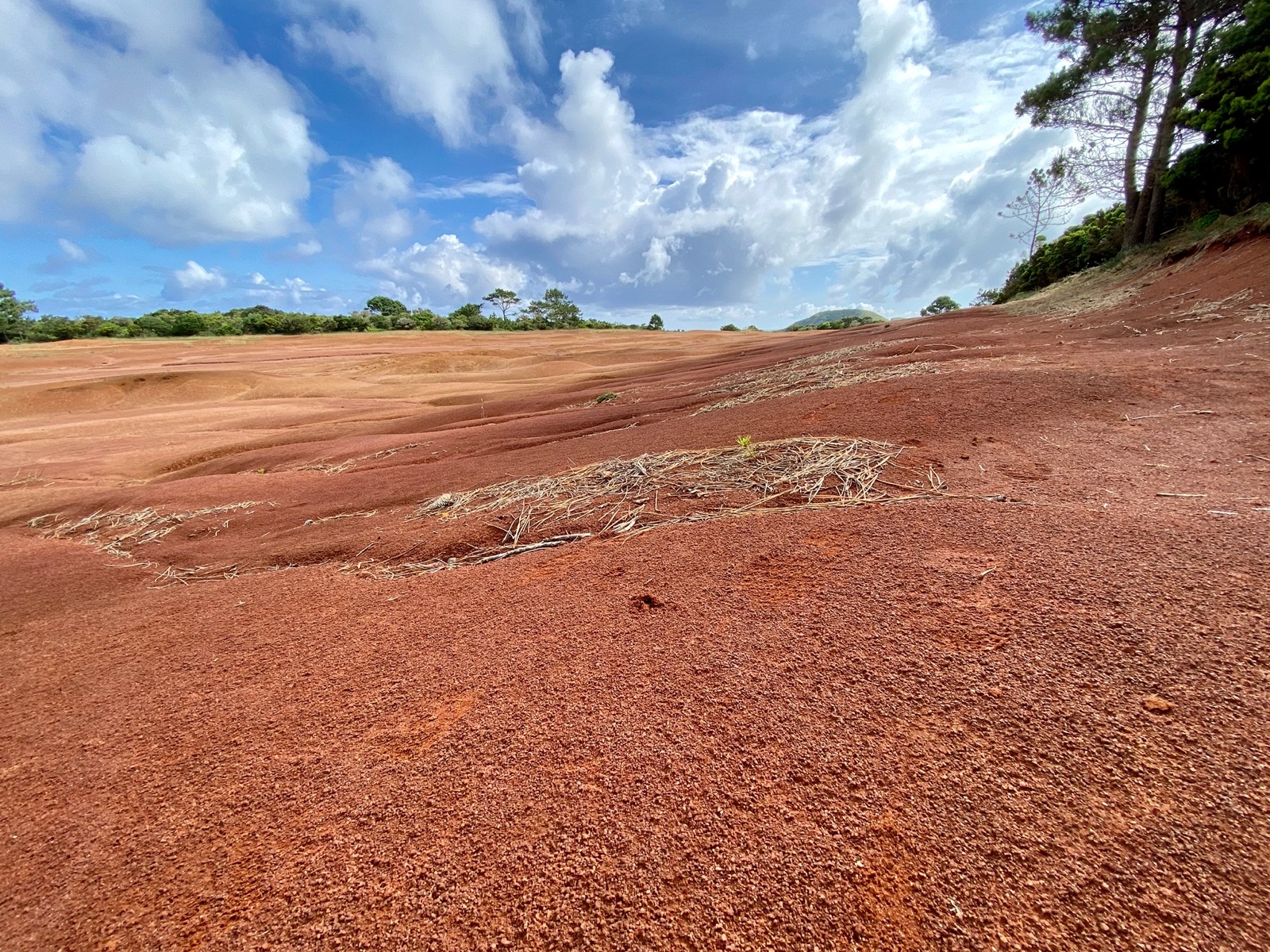
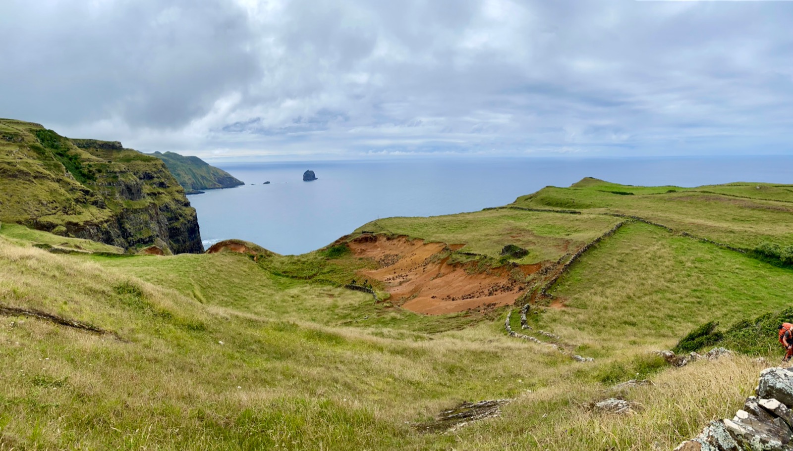
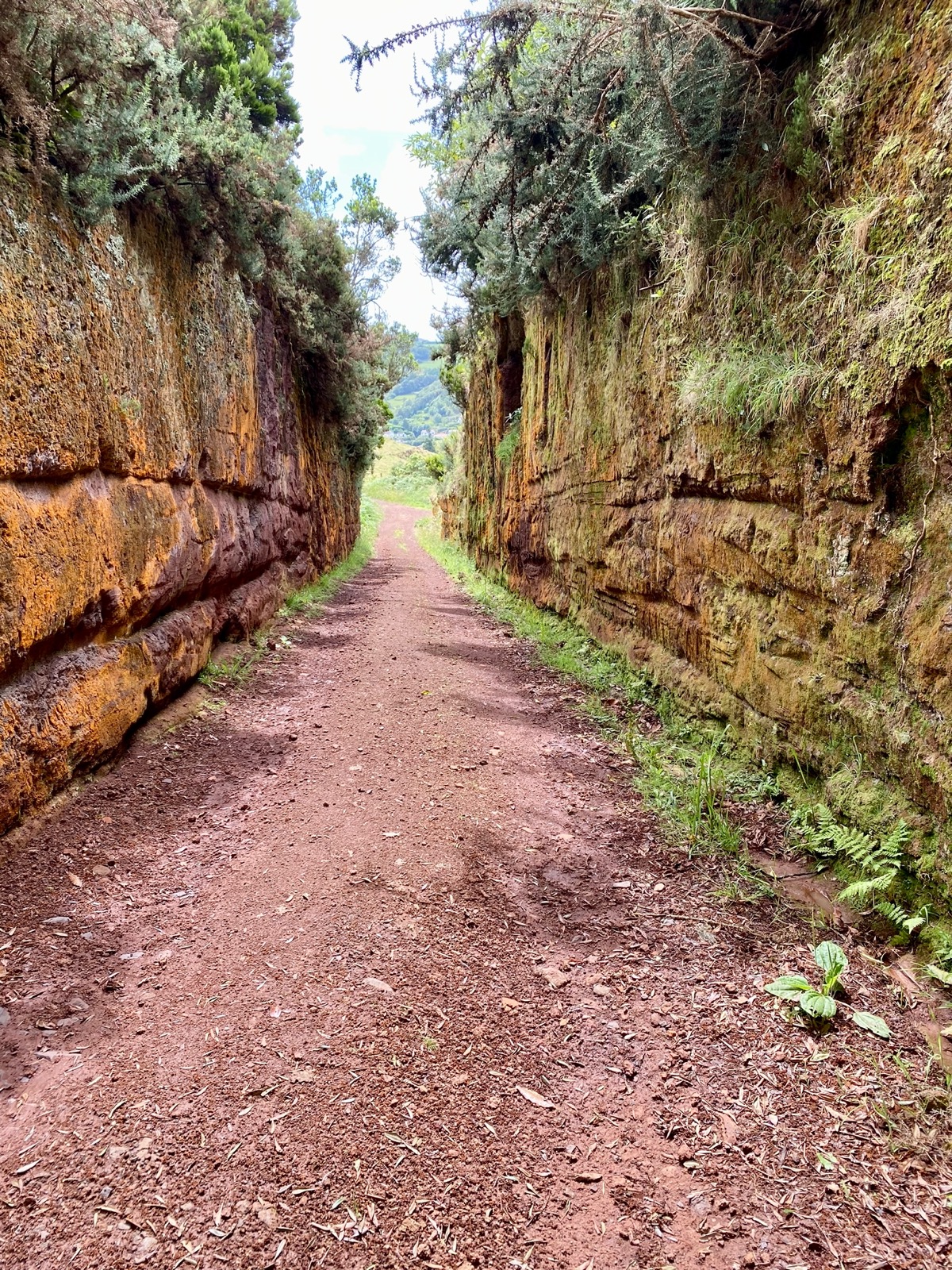
Shortly after heading out and passing a stretch of road we hiked over the first sections of the (famous?) red clay soil, and then through grass fields towards an old and abandoned whale watching post on a hill overseeing the coast.

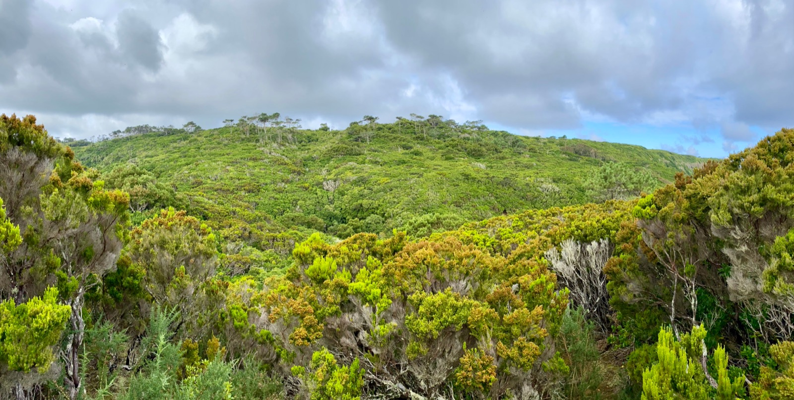
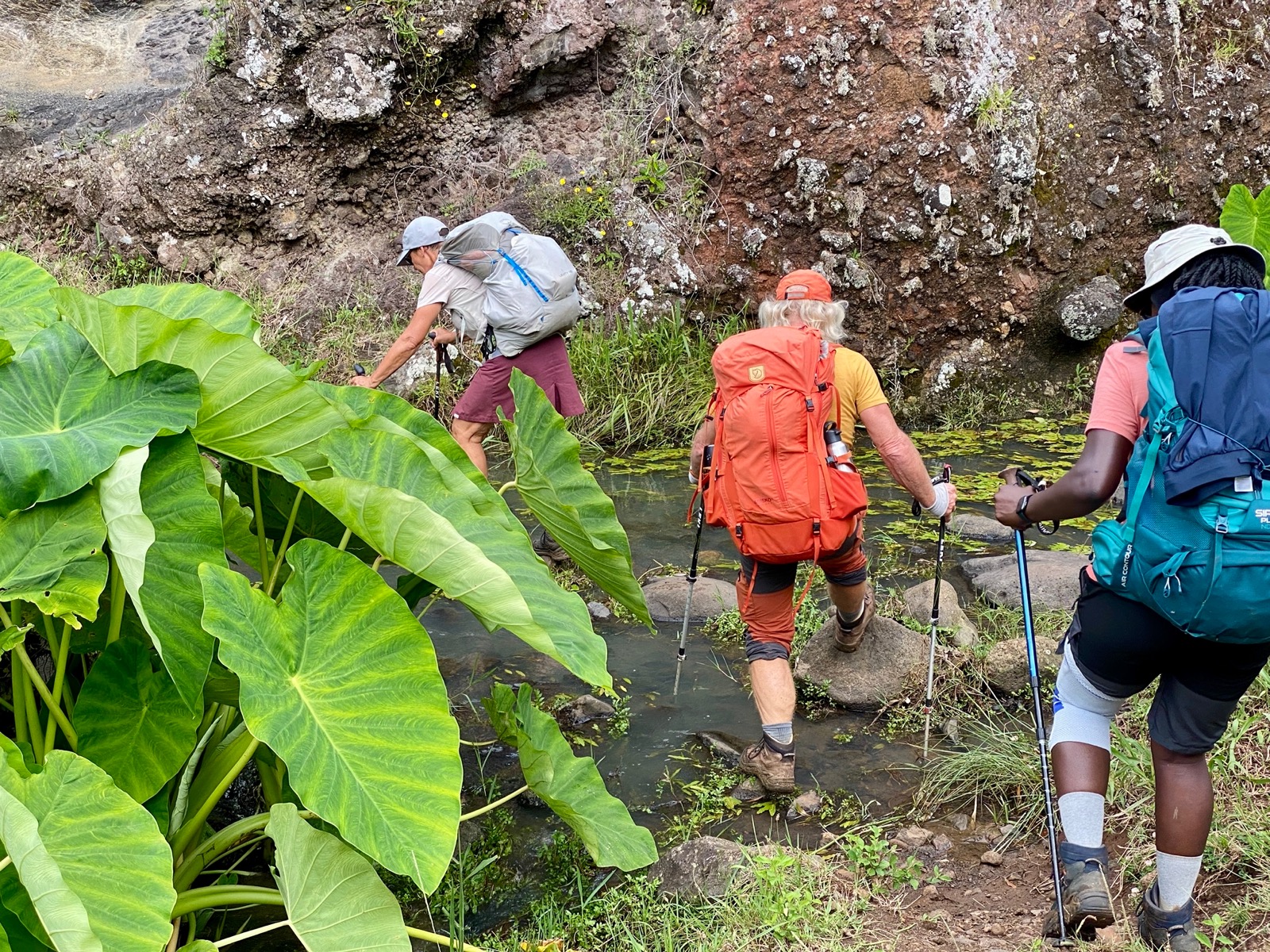
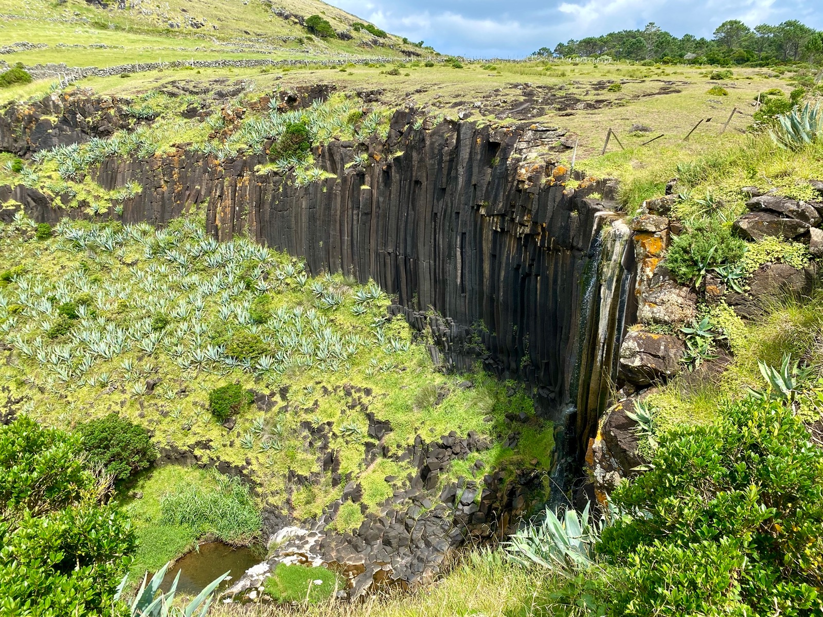
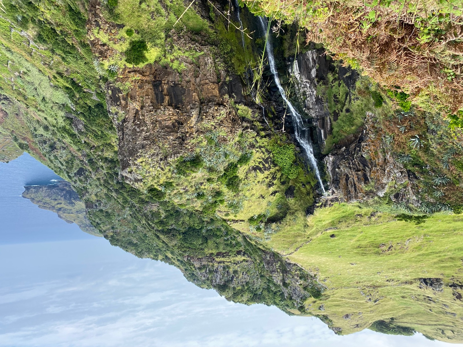
Continuing on the trail, we later arrived at Ribeira do Maloás where a small waterfall runs down a wall of basalt columns (about 20m in height).
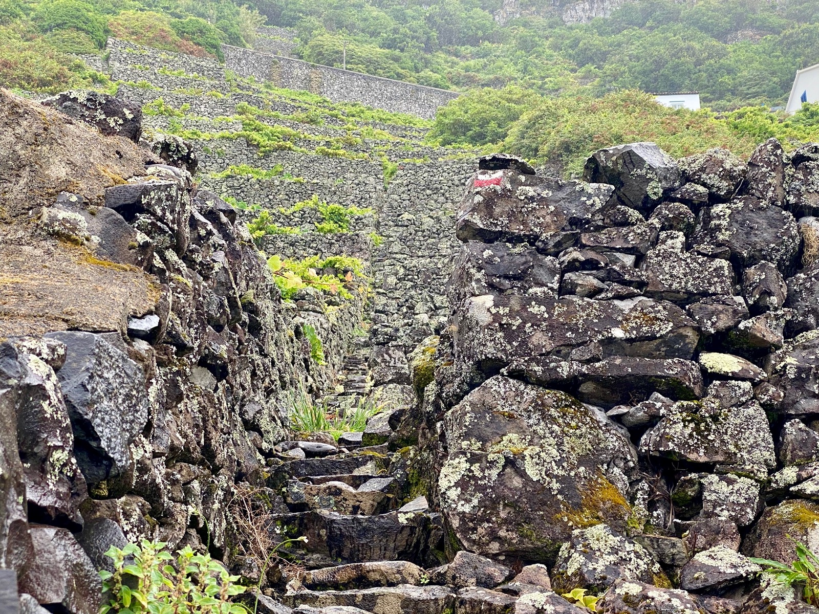
Ever changing terrain (grass, rocks, sand, street), nice views of the “Cascata do Aveiro” waterfall and steep section at the end eventually lead us to our shelter in Lapa.
Day 3 (15.5km, 610m ↗)
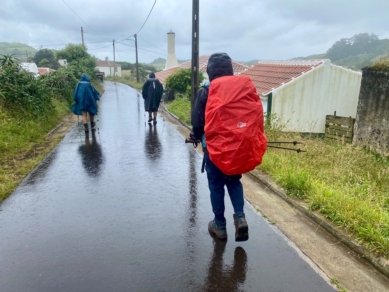
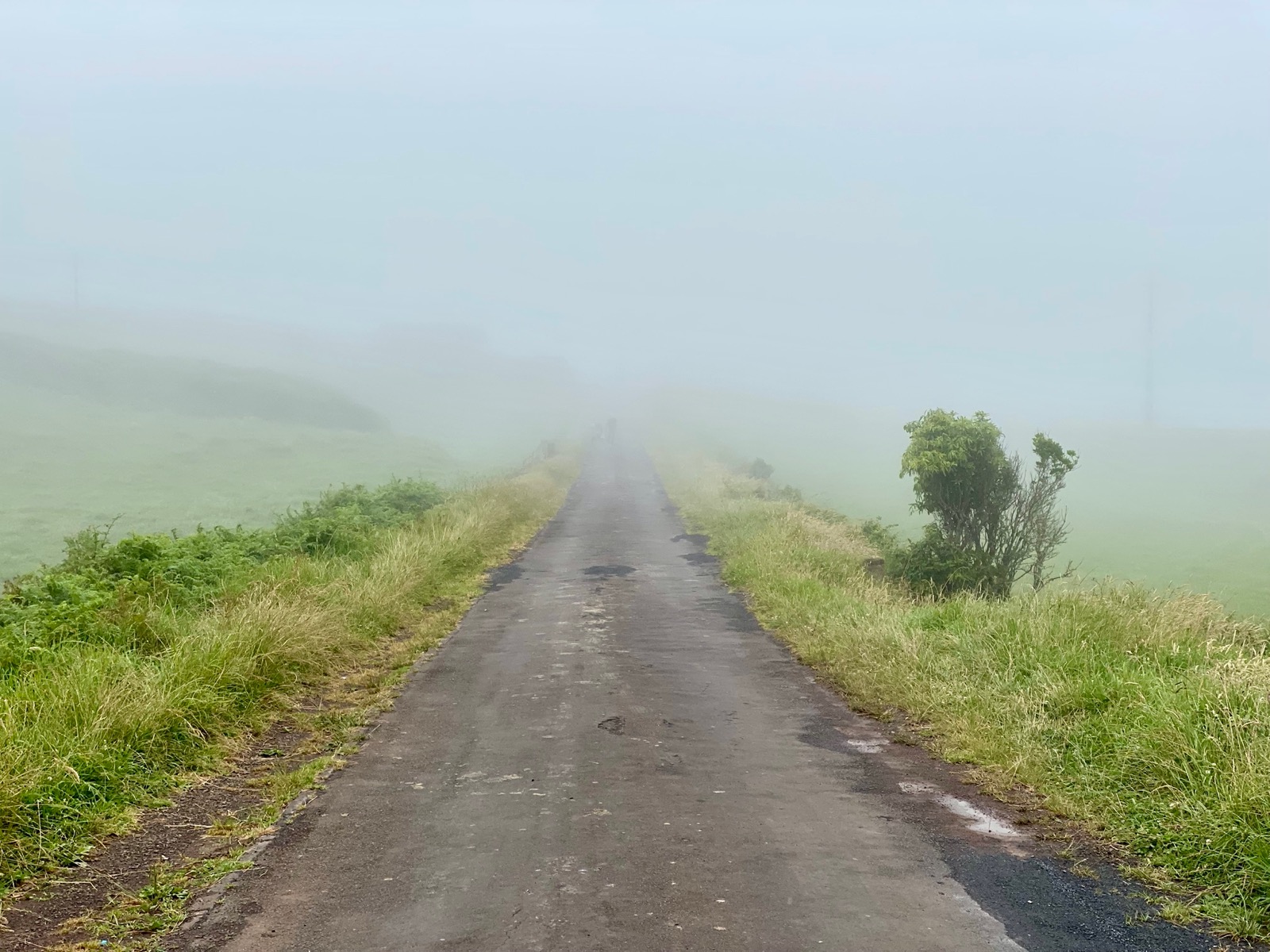
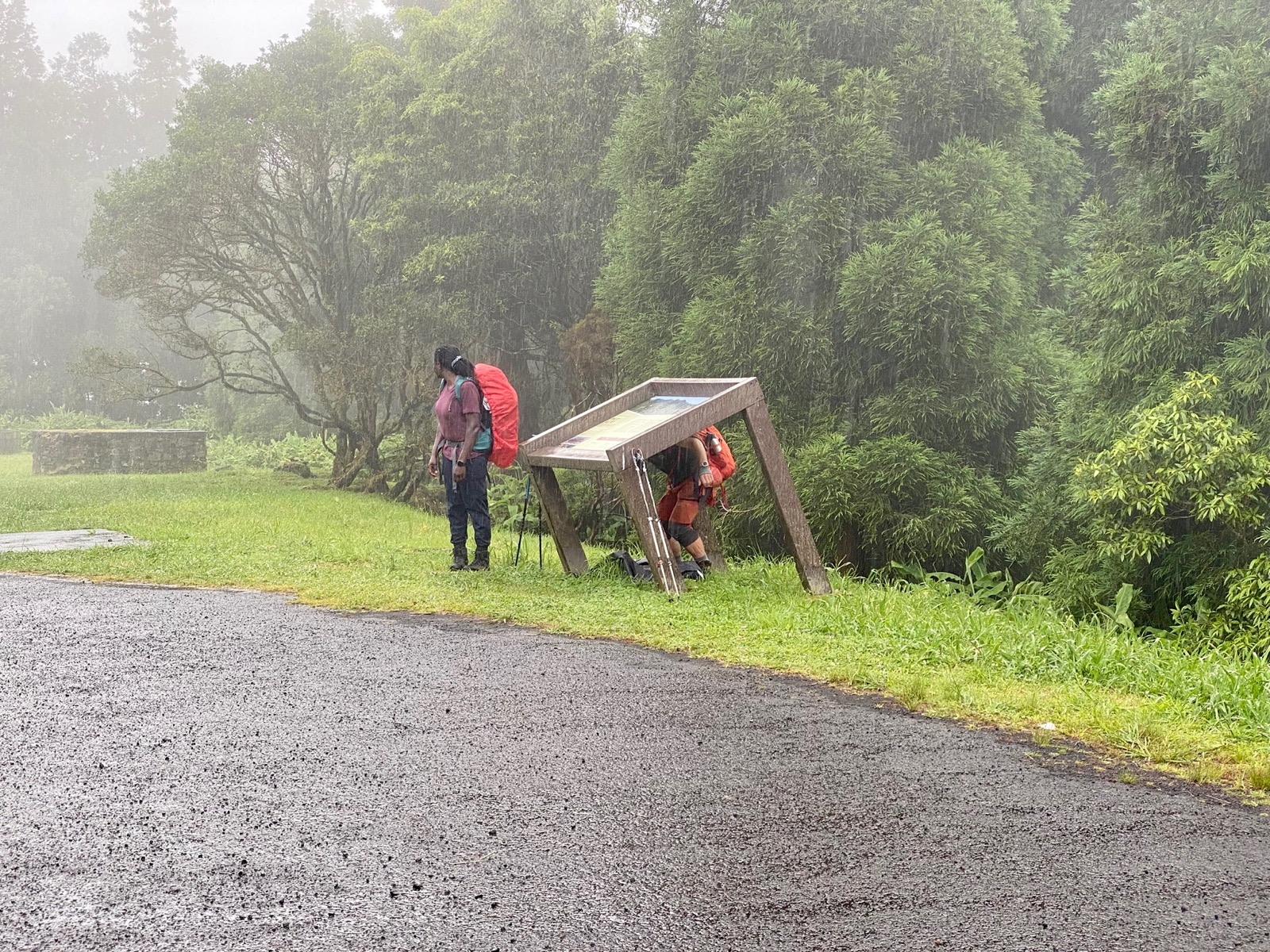
Our third day started with cloudy skies and – a few minutes into the hike – rain. It stayed rainy, but comfortably warm, for the next 9km until we descended to São Lourenço for a break. Not only could we recharge but the sky eventually cleared as well.
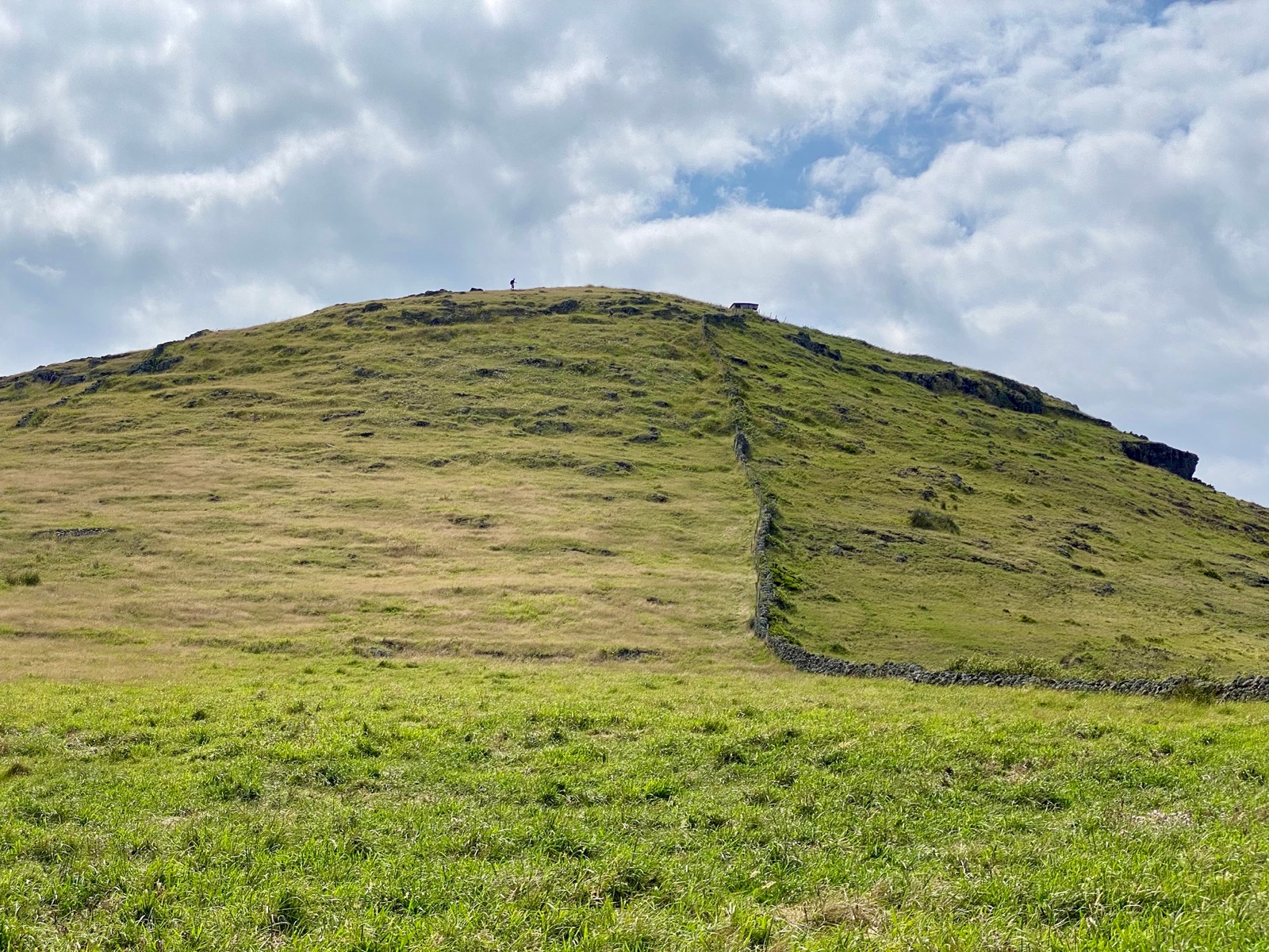
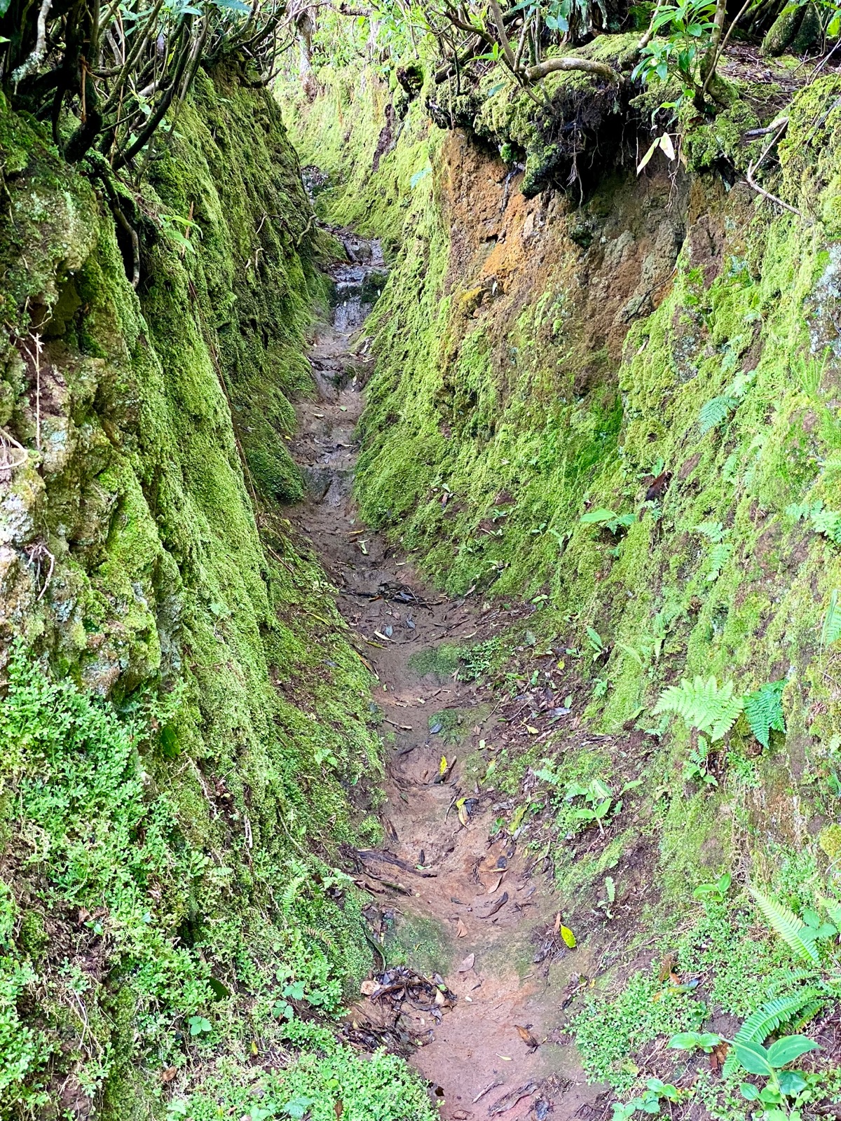
The rather steep ascent after the break required some focus as the previous rain and general high humidity led to rather slippery conditions on the uphill sections.
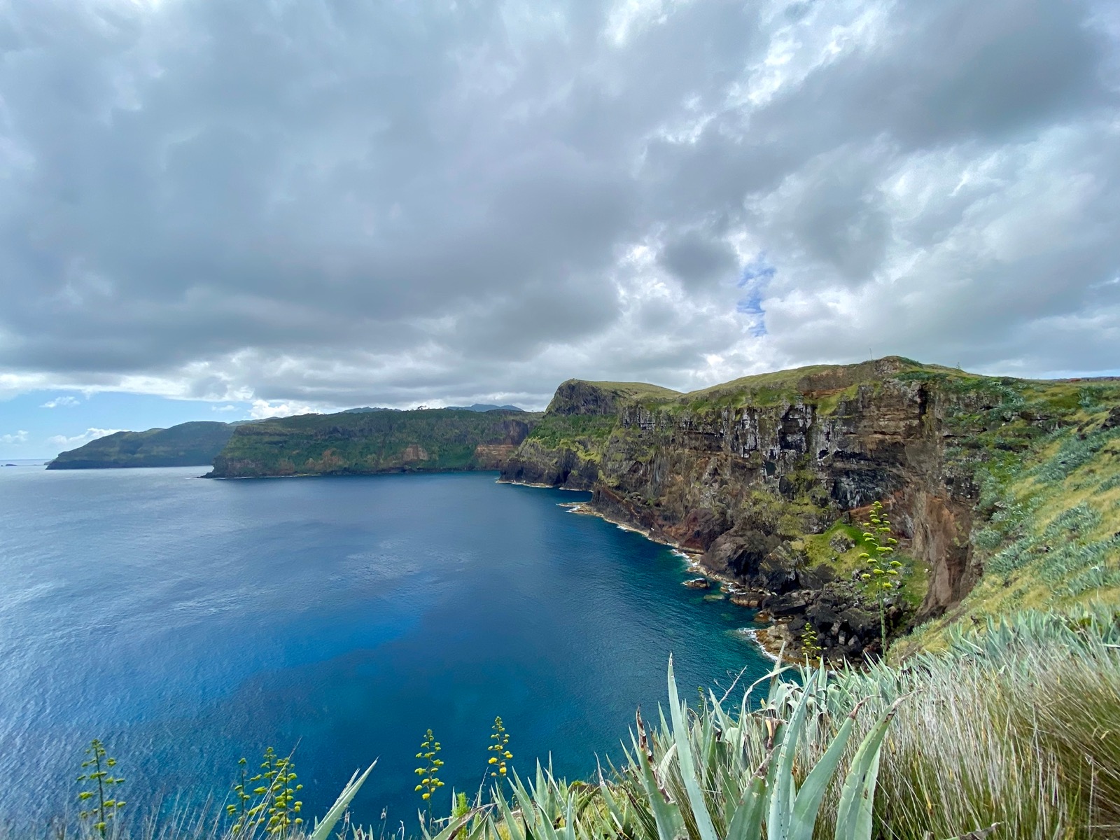
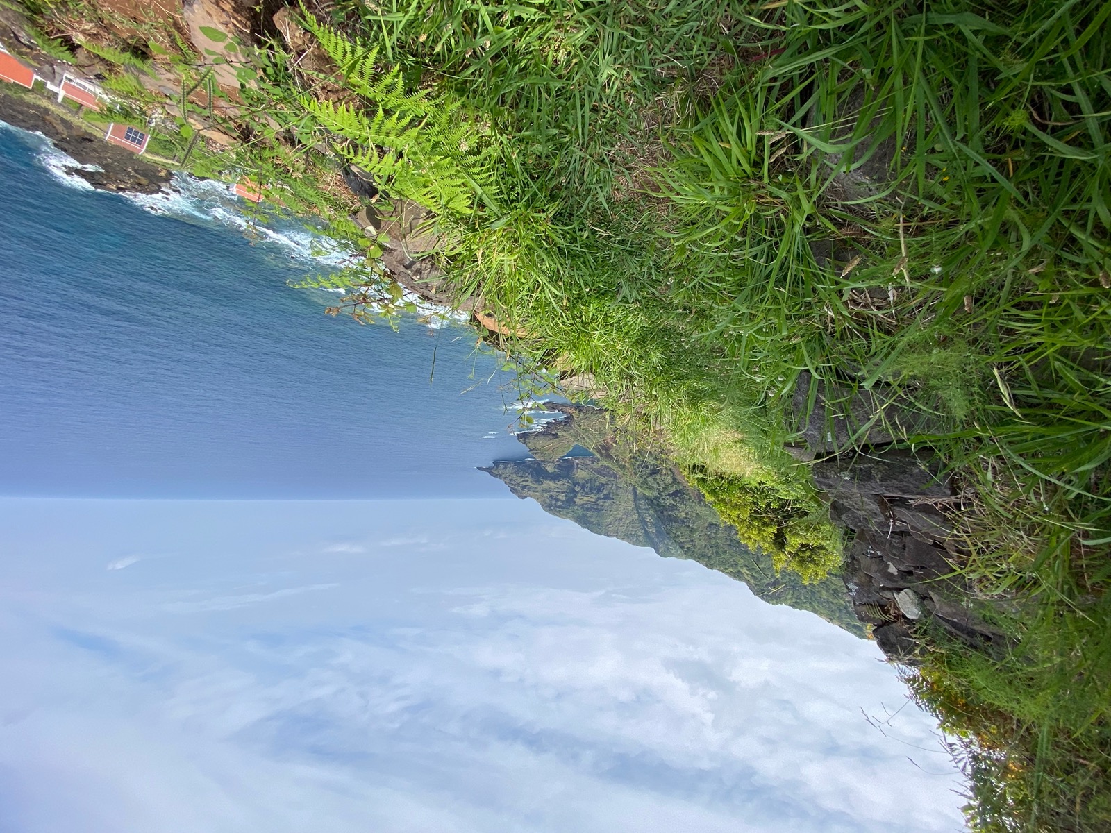
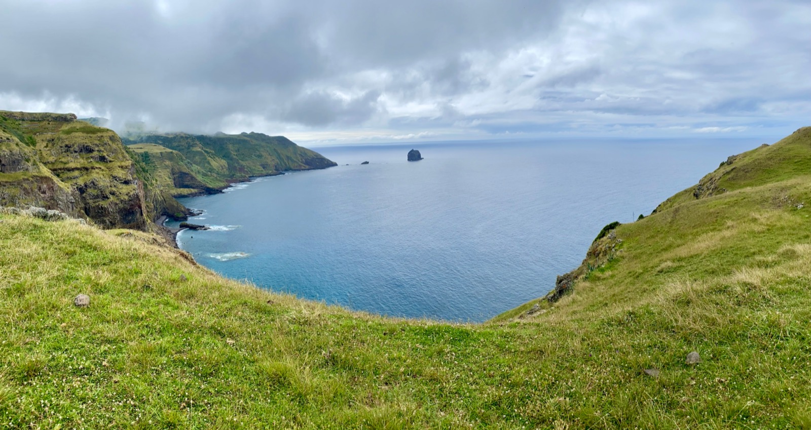
While the cloud cover stayed the whole day, we reached the next shelter without any more rain and could enjoy nice views while crossing grass fields and a tiny lighthouse along the coast towards Ponta do Norte.

Day 4 (14km, 630m ↗)
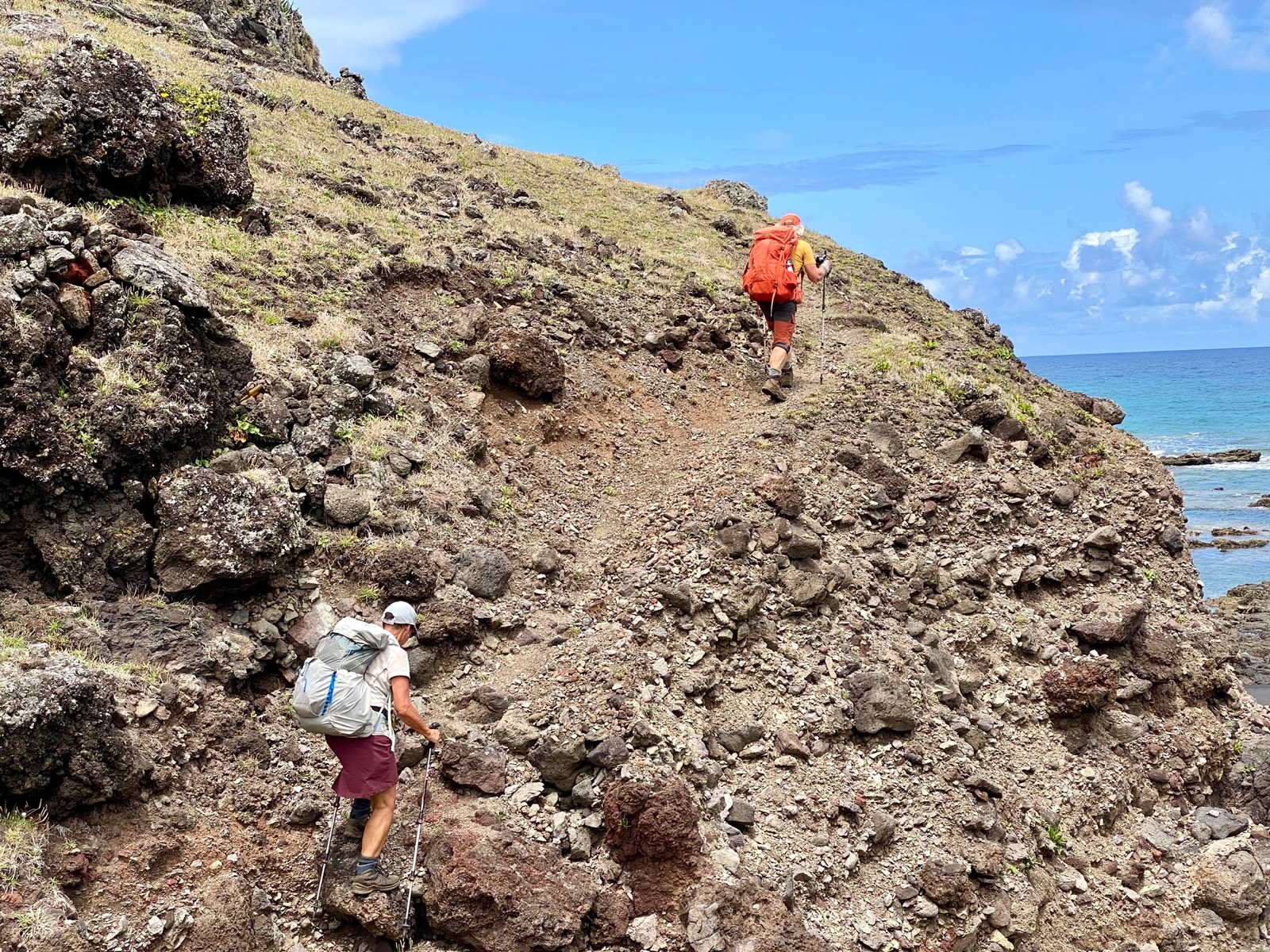
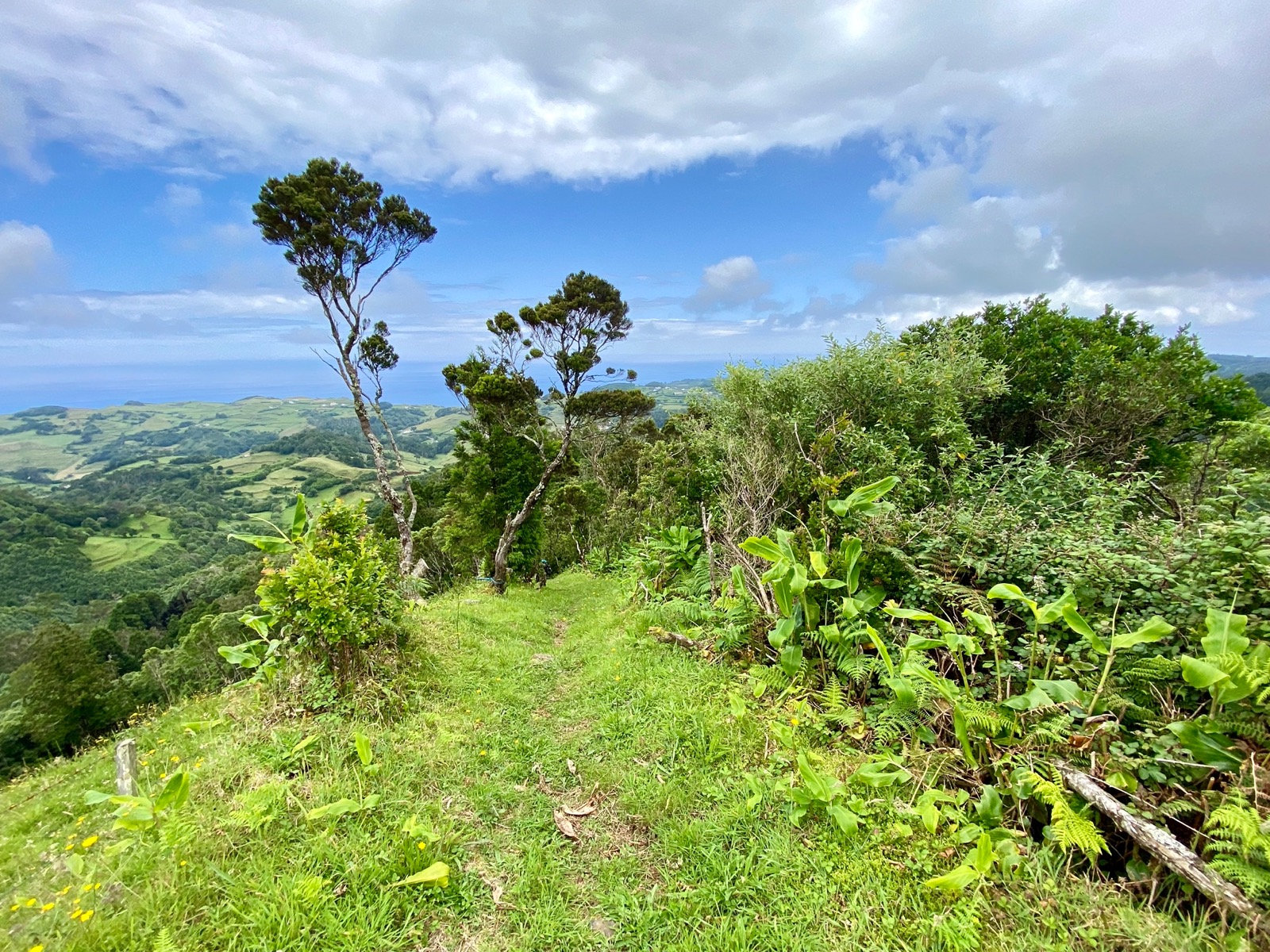
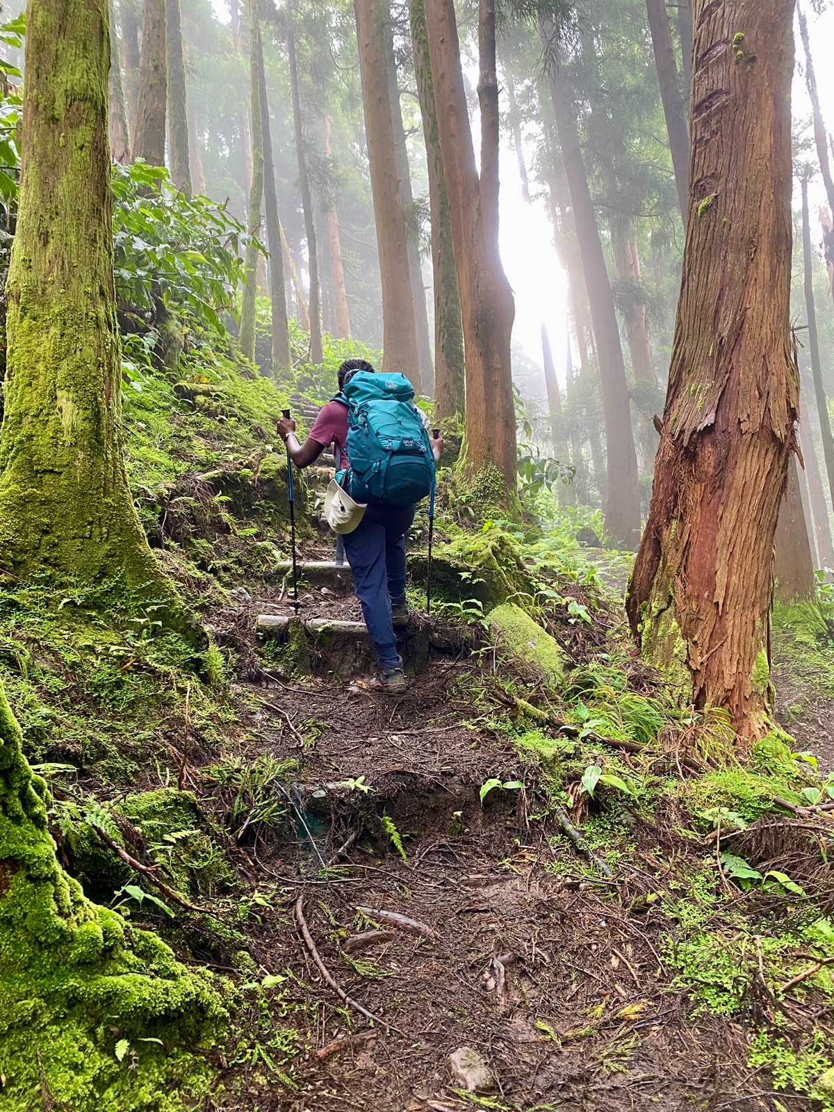
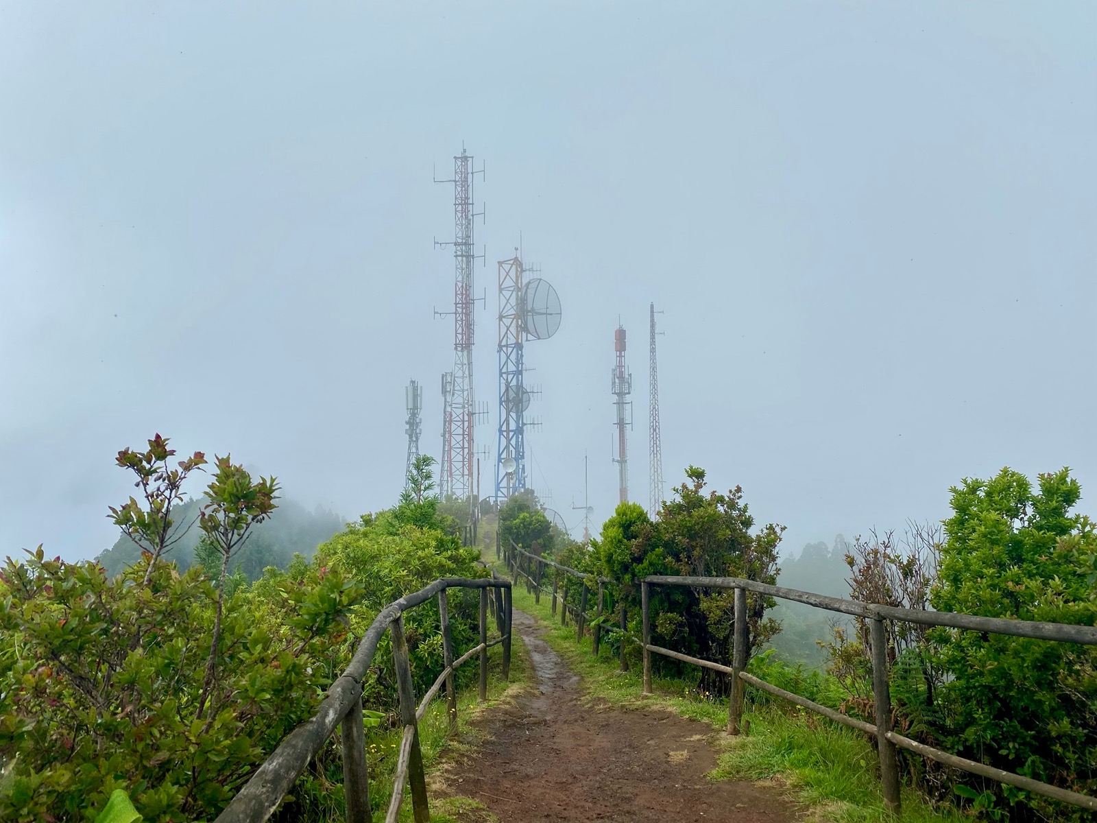
Day 4 was the day to ascend to Pico Alto, with 587 meters the highest (while still being rather low) elevation of the entire island.
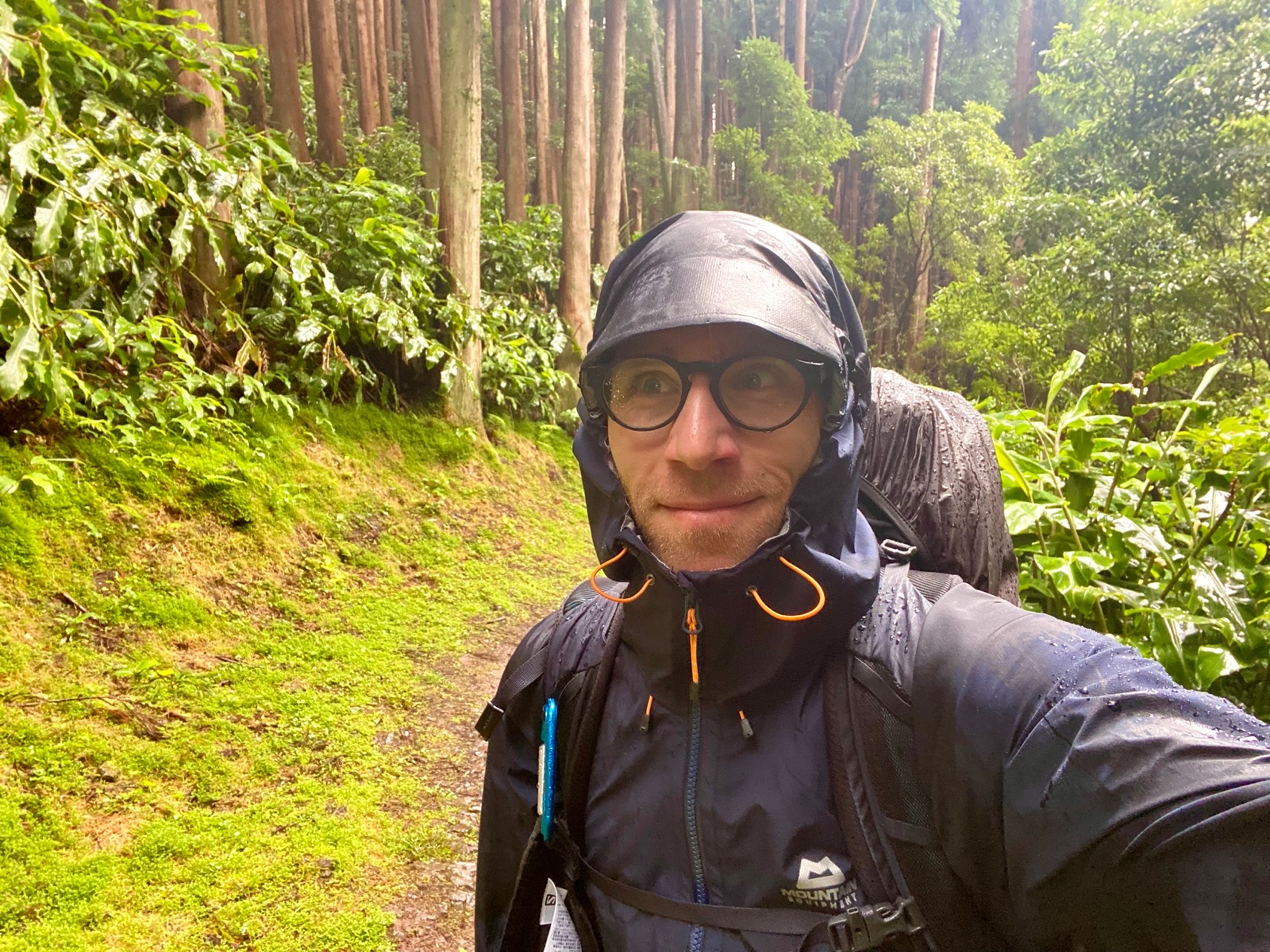
We decided to take a shortcut from the original trail, going straight to Pico Alto from Santa Barbara. The reasoning was that the shortcut provided a much nicer environment, going “through the woods” compared to the original trail consisting of mainly road sections.
While not being able to compare, the shortcut felt like the right decision and was one of my favourite sections of the entire trek, even though we ended up in clouds and wet conditions at the top (which seems to be rather the norm there).
After a short break in an abandoned building near the top of Pico Alto (while there is a road up there, the only facilities were these abandoned ones), we slowly descended through the forest and later gravel roads towards our last hut.
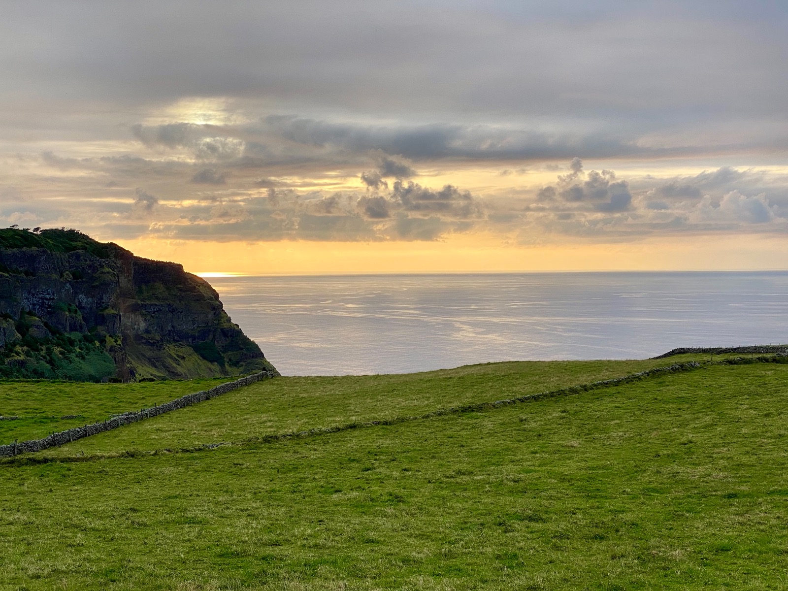
Luckily, the weather cleared towards the evening and allowed us to dry stuff, eat outside and enjoy the sunset.
Day 5 (13km, 290m ↗)
On our last day we hiked along the north-west coast, passed another larger section of red soil, crossed a few small rivers and went through plenty of grassy fields, sharing the path mostly with (curious) cows.
Towards the end we decided to skip the long section of gravel road along the airport runway and went directly to the airport and then back to our hostel in Vila Do Porto for the last night.