11. September 2023
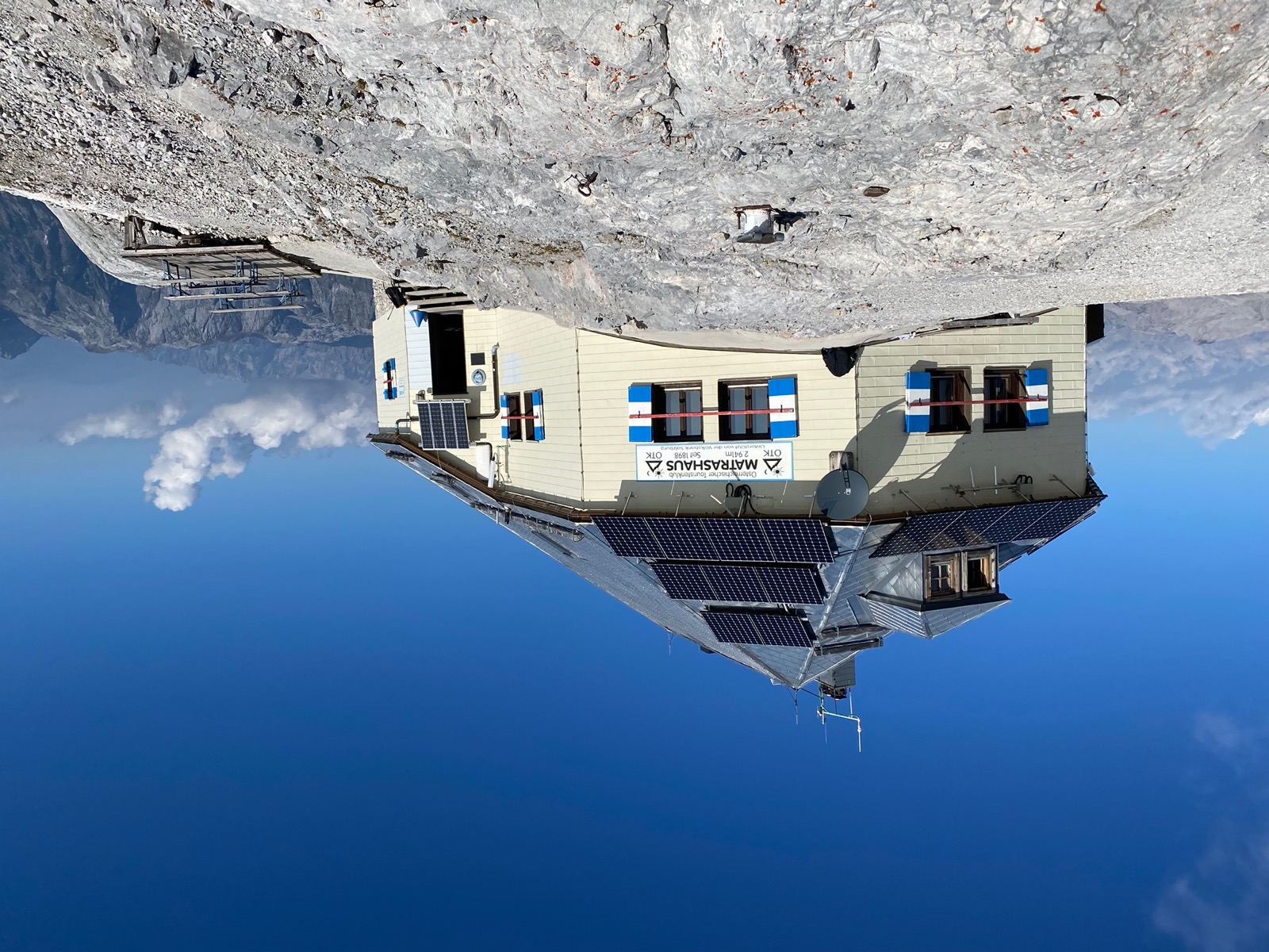
Hiking up Hochkönig – Arthurhaus to Matrashaus and back
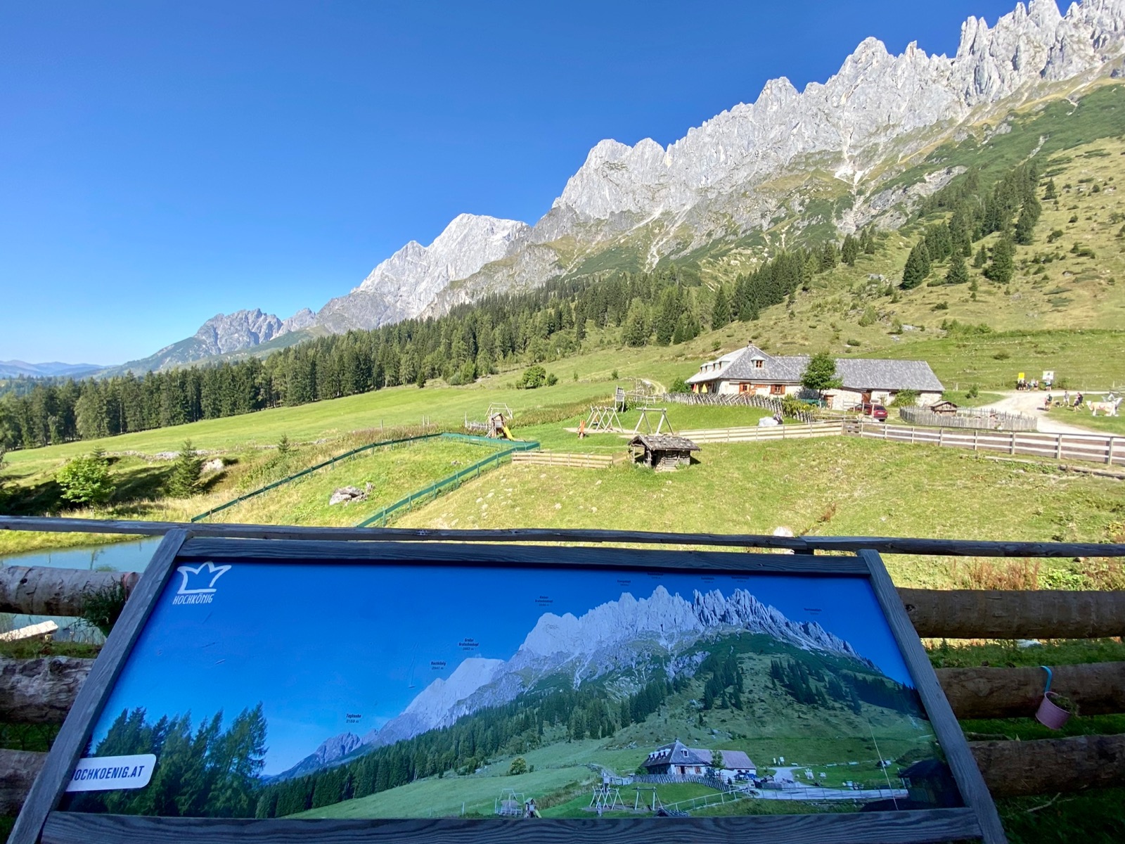
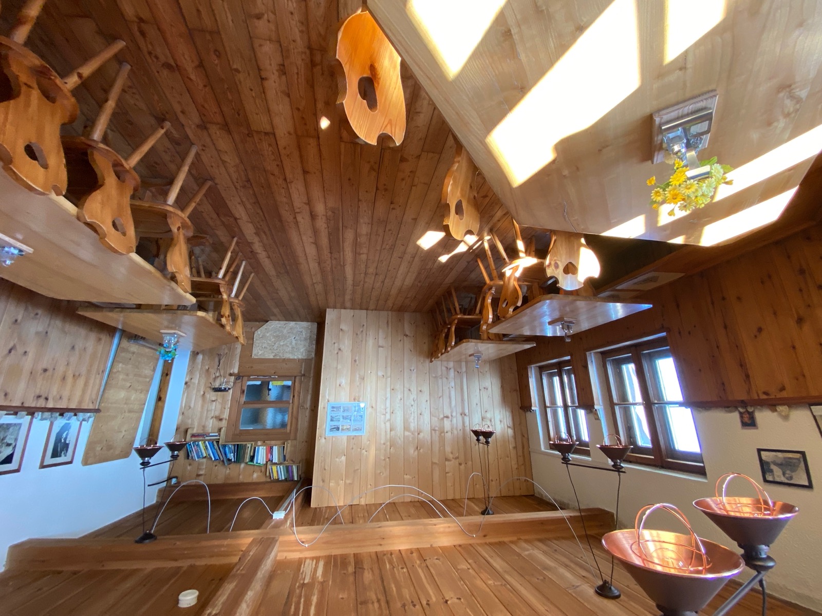
Towards the end of my short trip to Austria in September, I went to the Arthurhaus, a mountain hotel at the foot of the Hochkönig in the Berchtesgaden Alps.
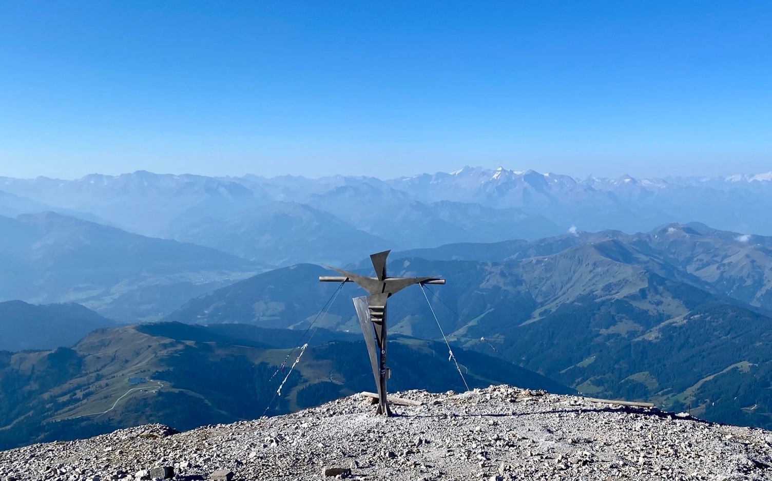
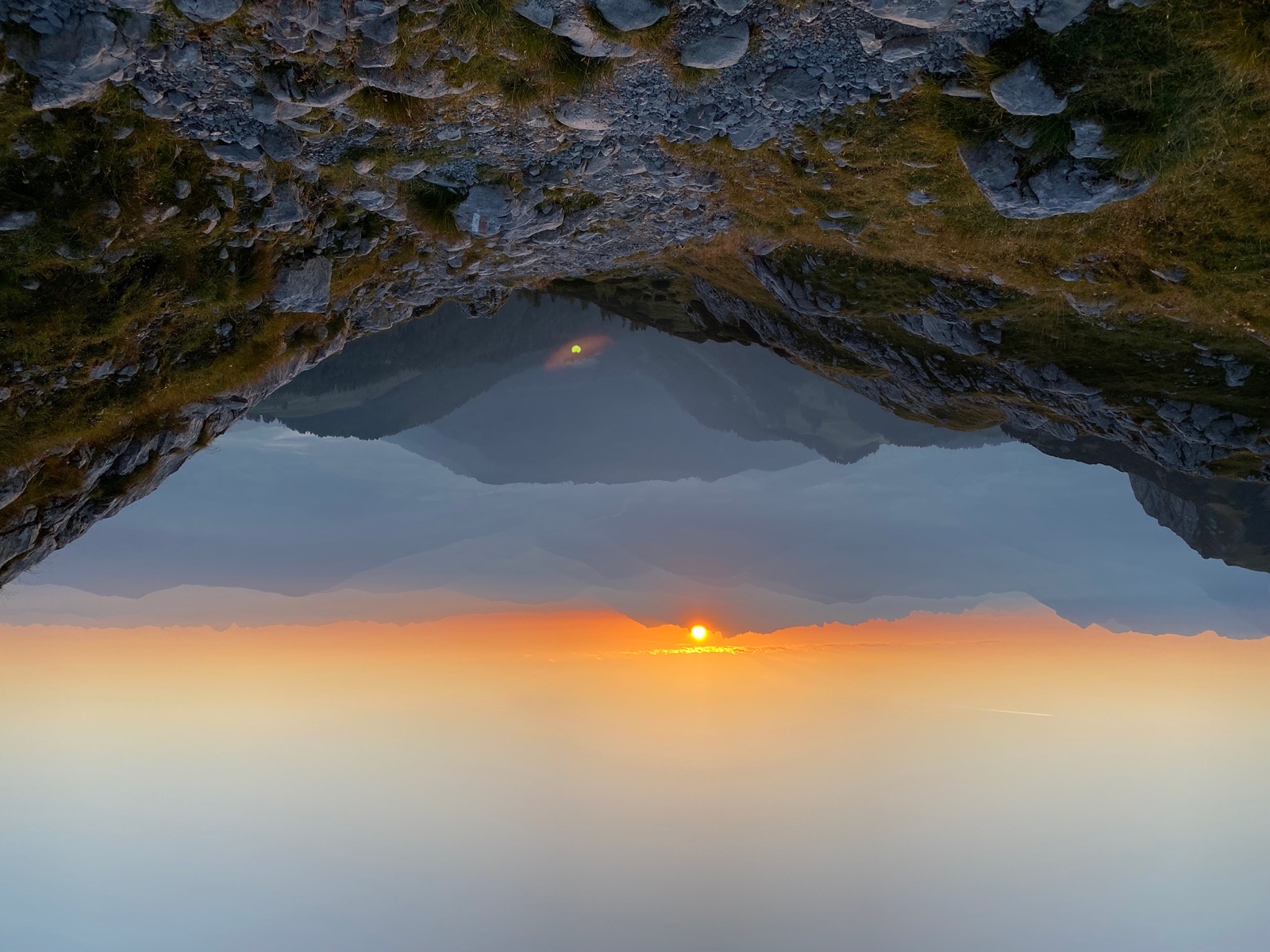
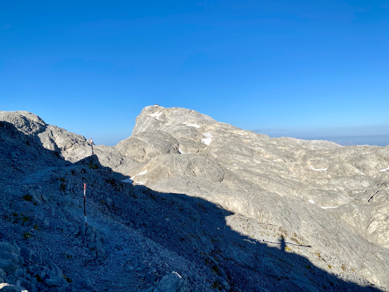
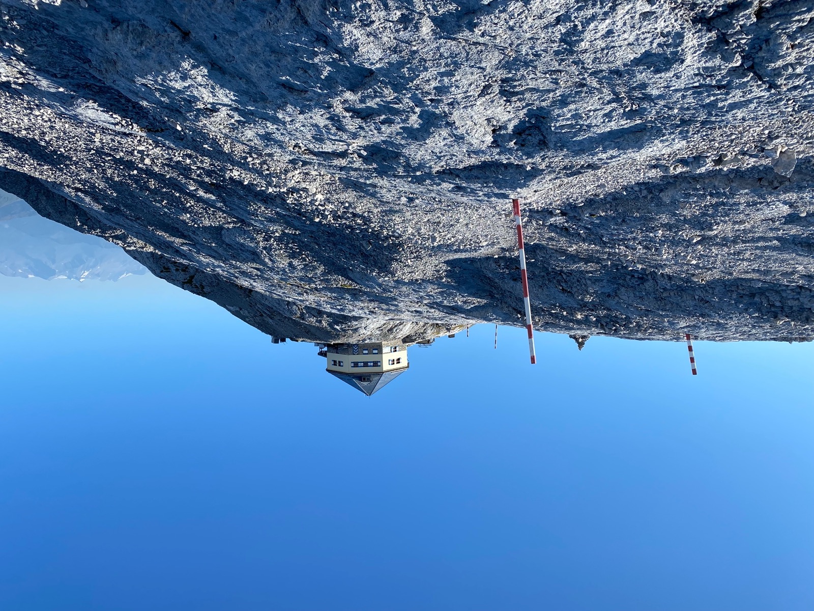
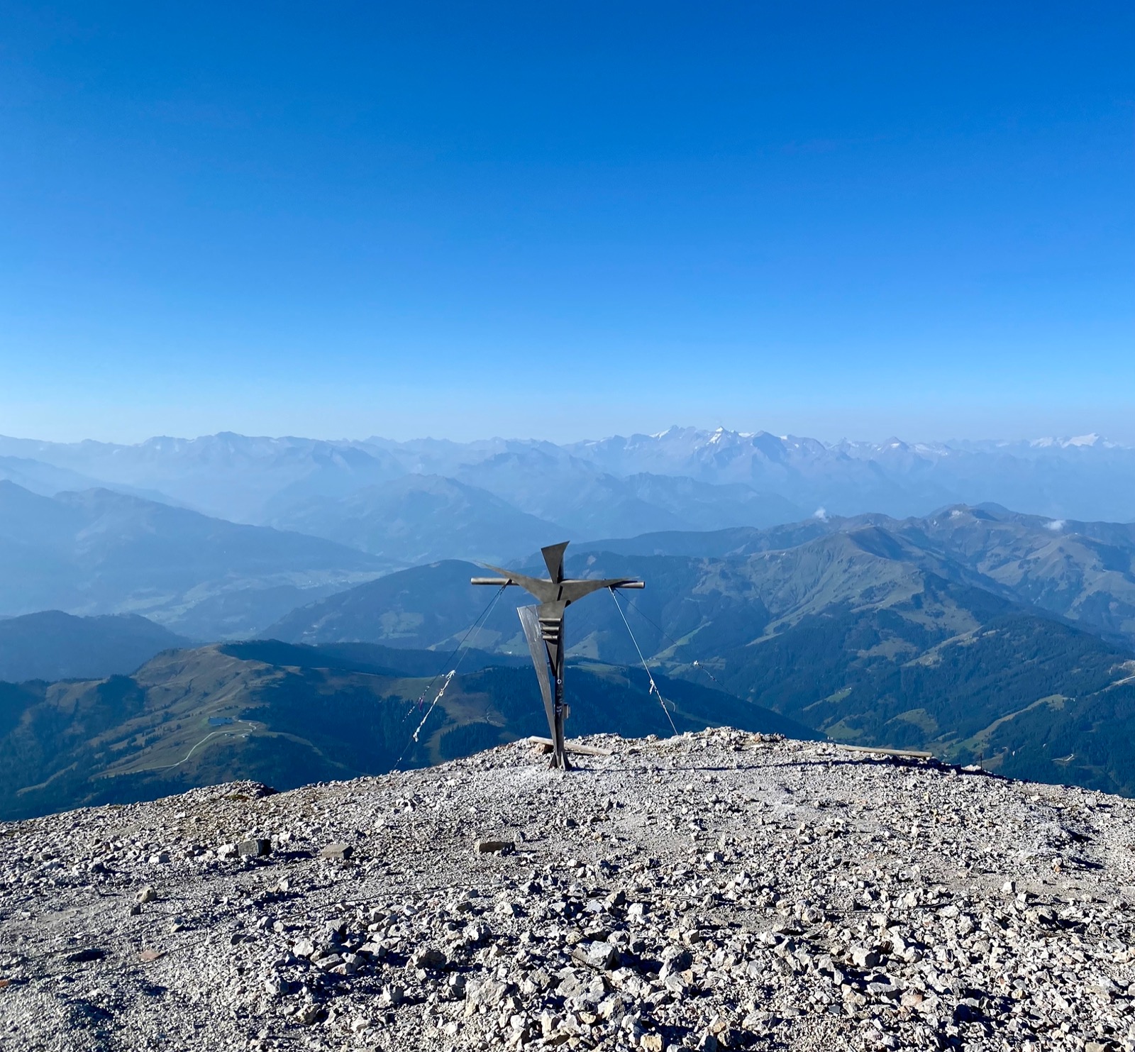
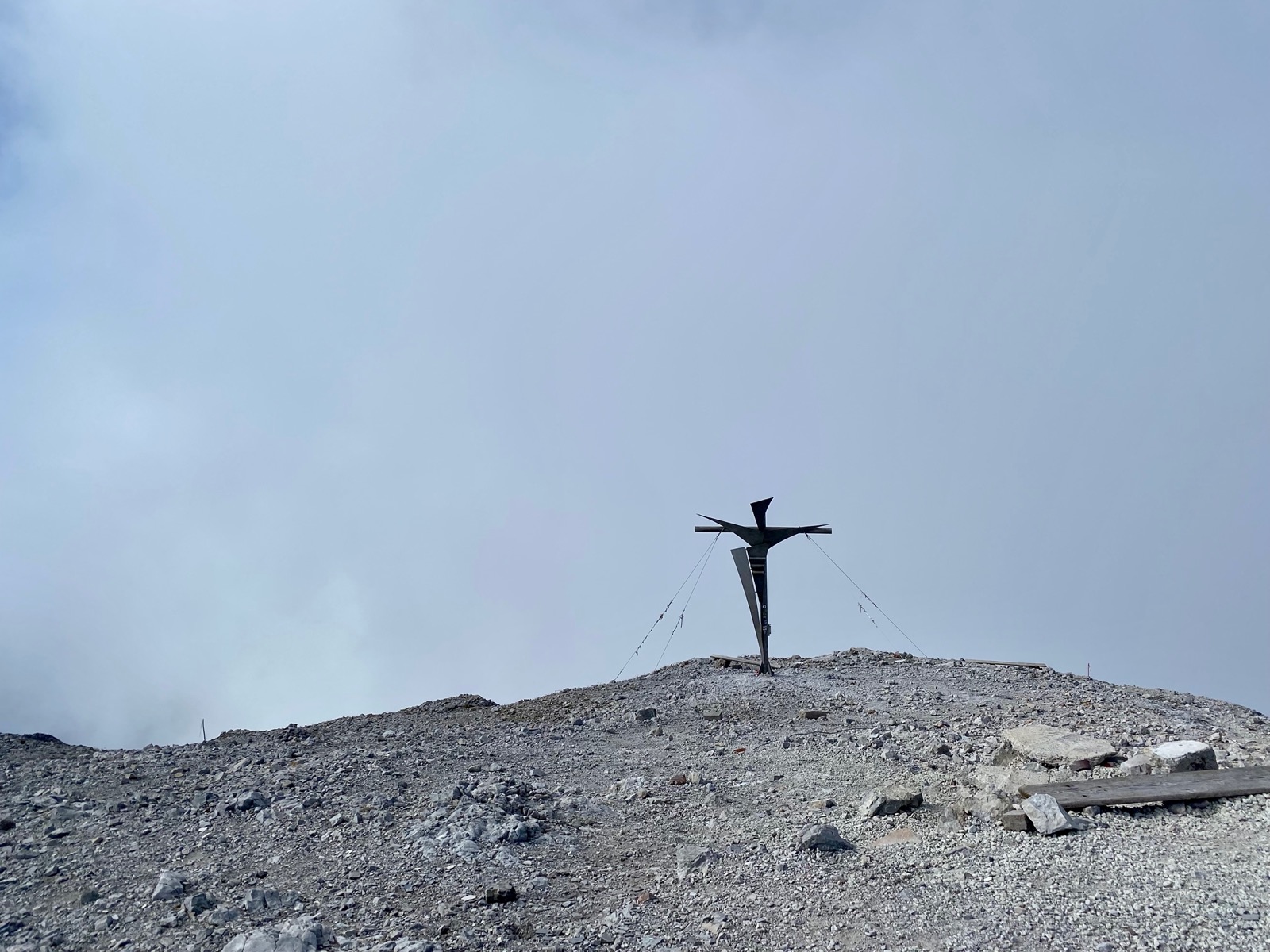
As the weather continued to be stable, I decided to hike up to the Hochkönig (2.941 meters) summit.
I started at around 05:20am on a Monday morning and was alone for most of the 23.5km (out and back combined) hike.
Even though the hike had an elevation difference of about 1600 meters, it was quite comfortable to walk, as now and then you had a couple of flat or even downhill sections on the way up.
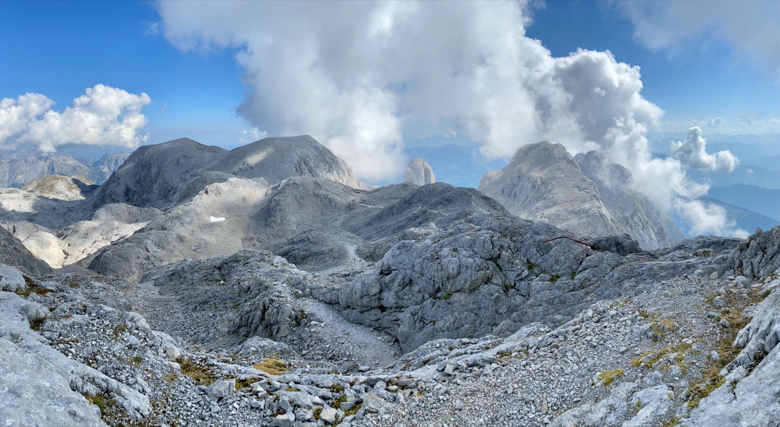
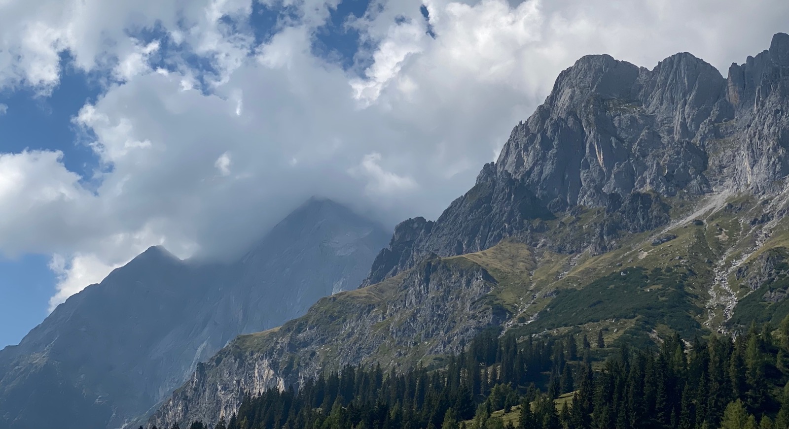
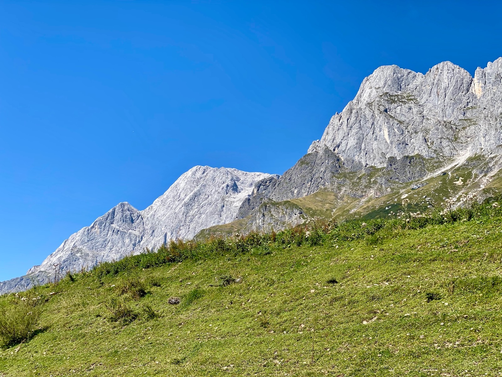
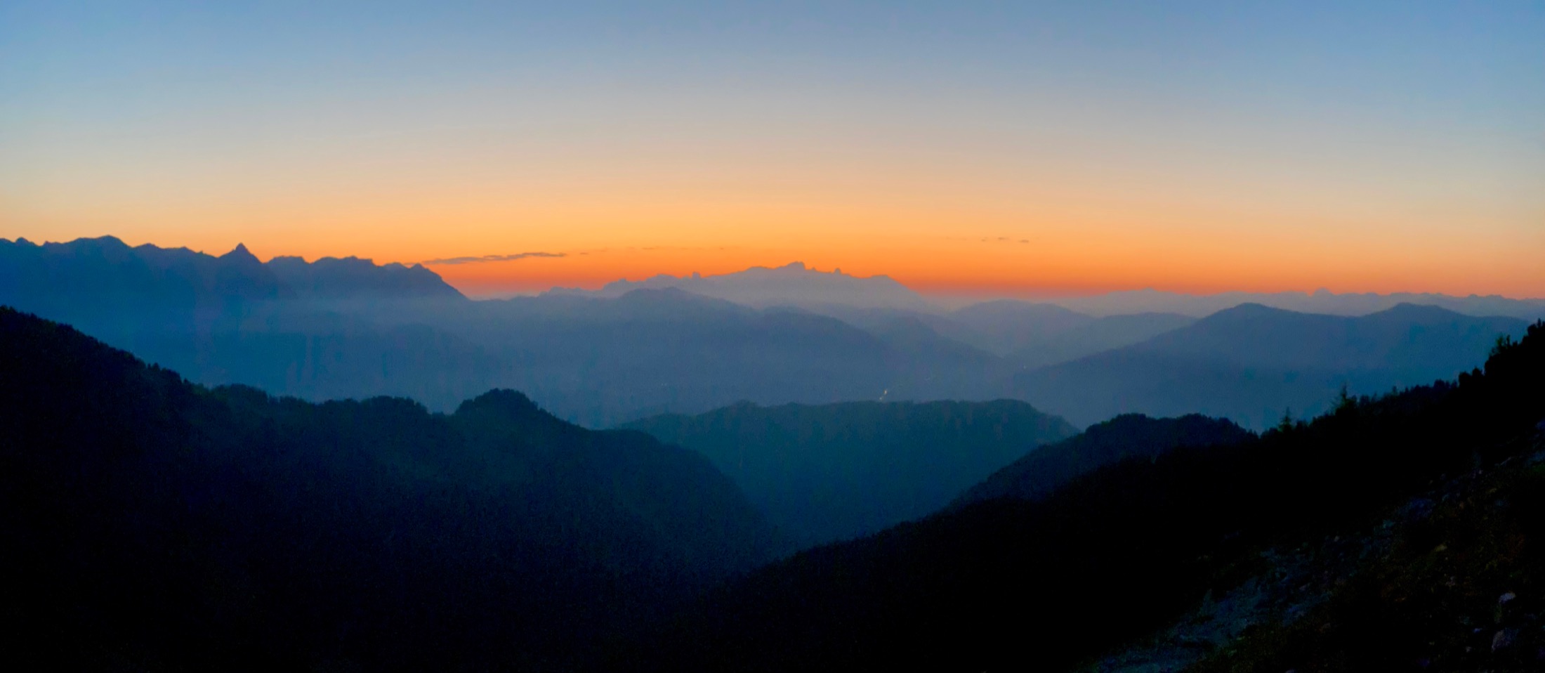
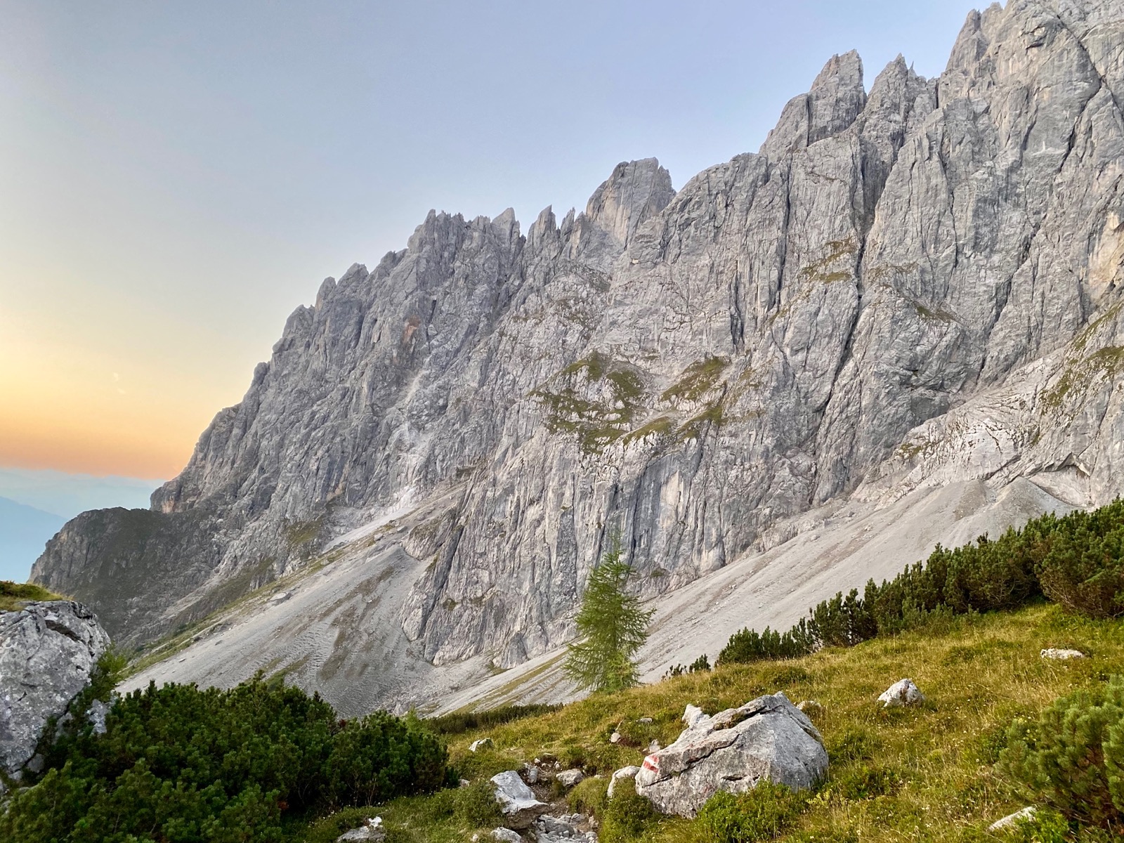
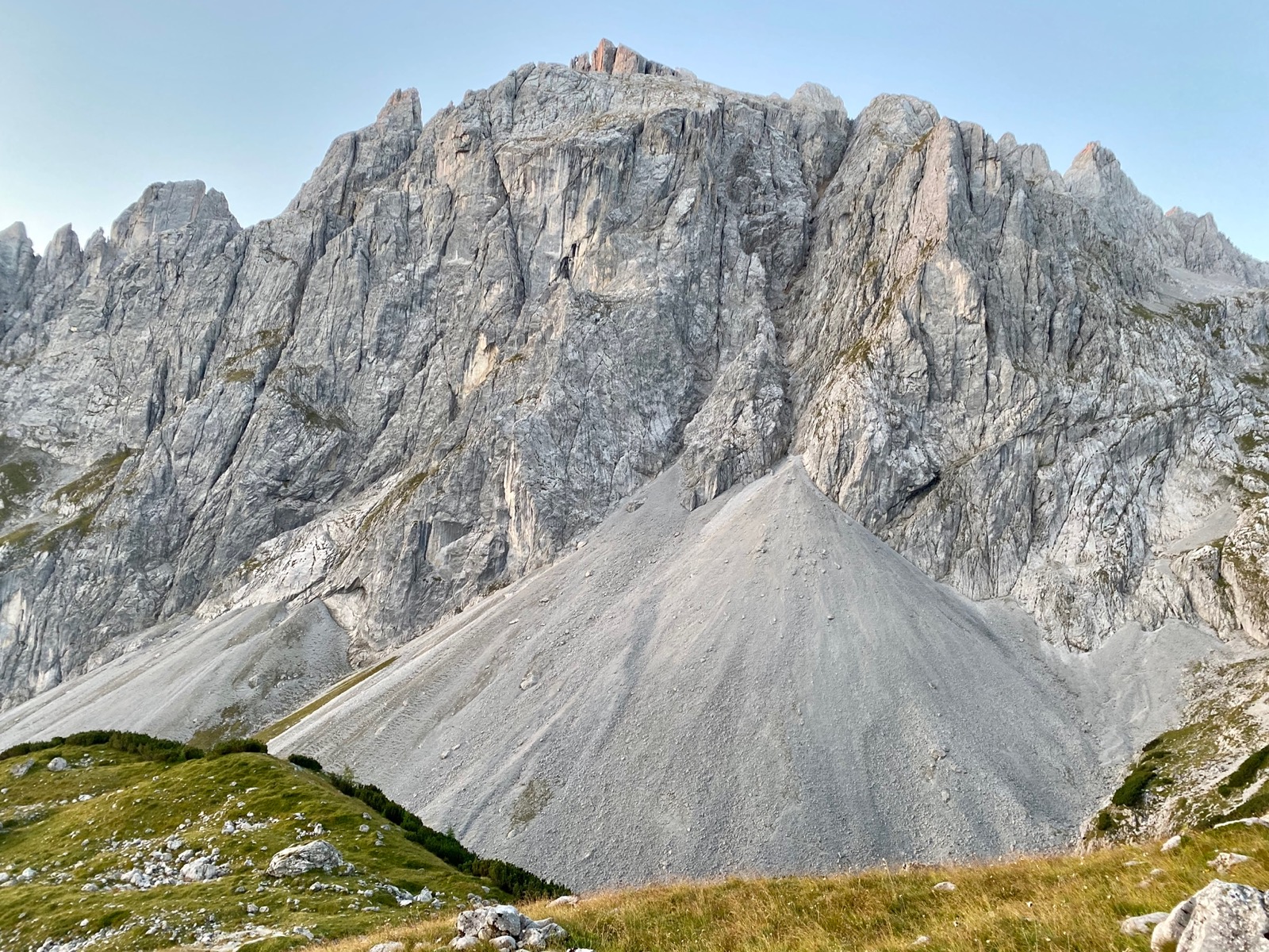
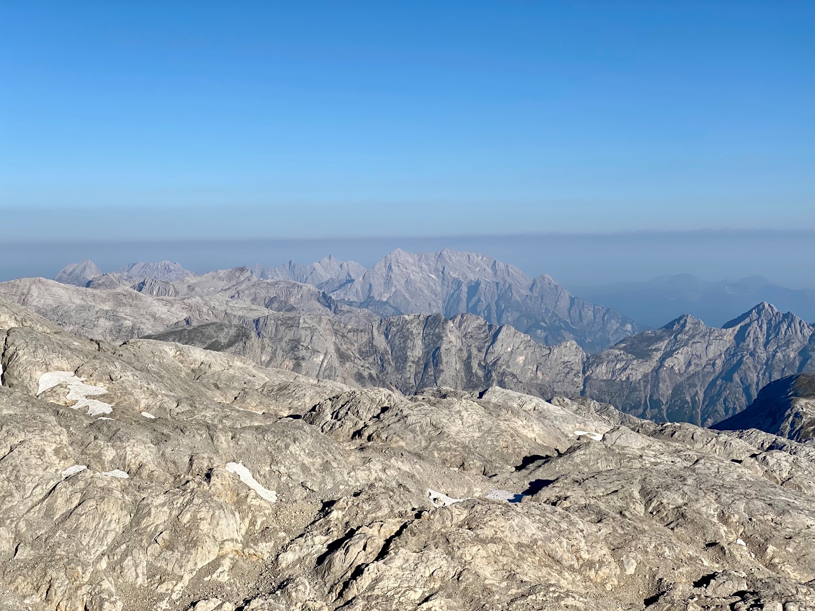
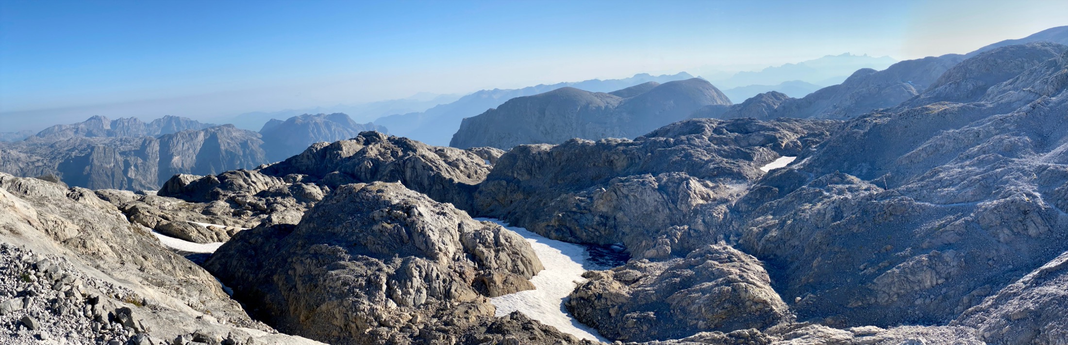
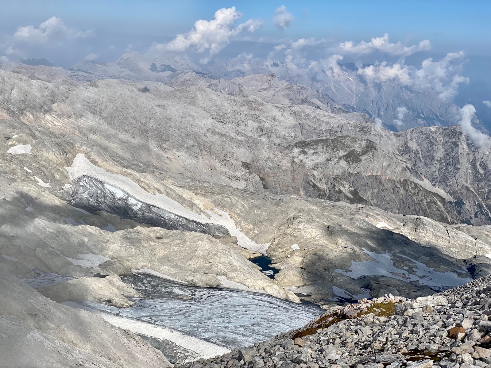
The views (during and after sunrise) were amazing throughout. Not only at the top where you are at the highest point in a radius of 34km, but also during ascent and descent.
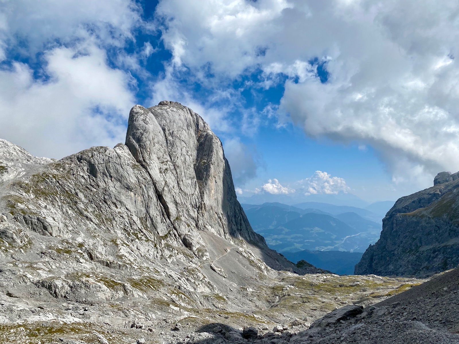
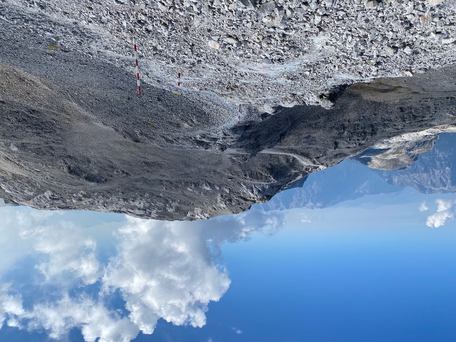
Especially the Torsäule, a steep rock formation at around midpoint of the hike, was a great sight.
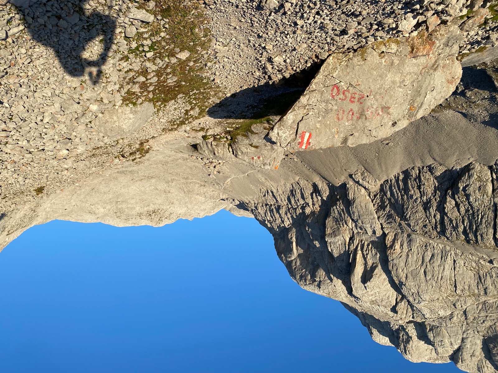
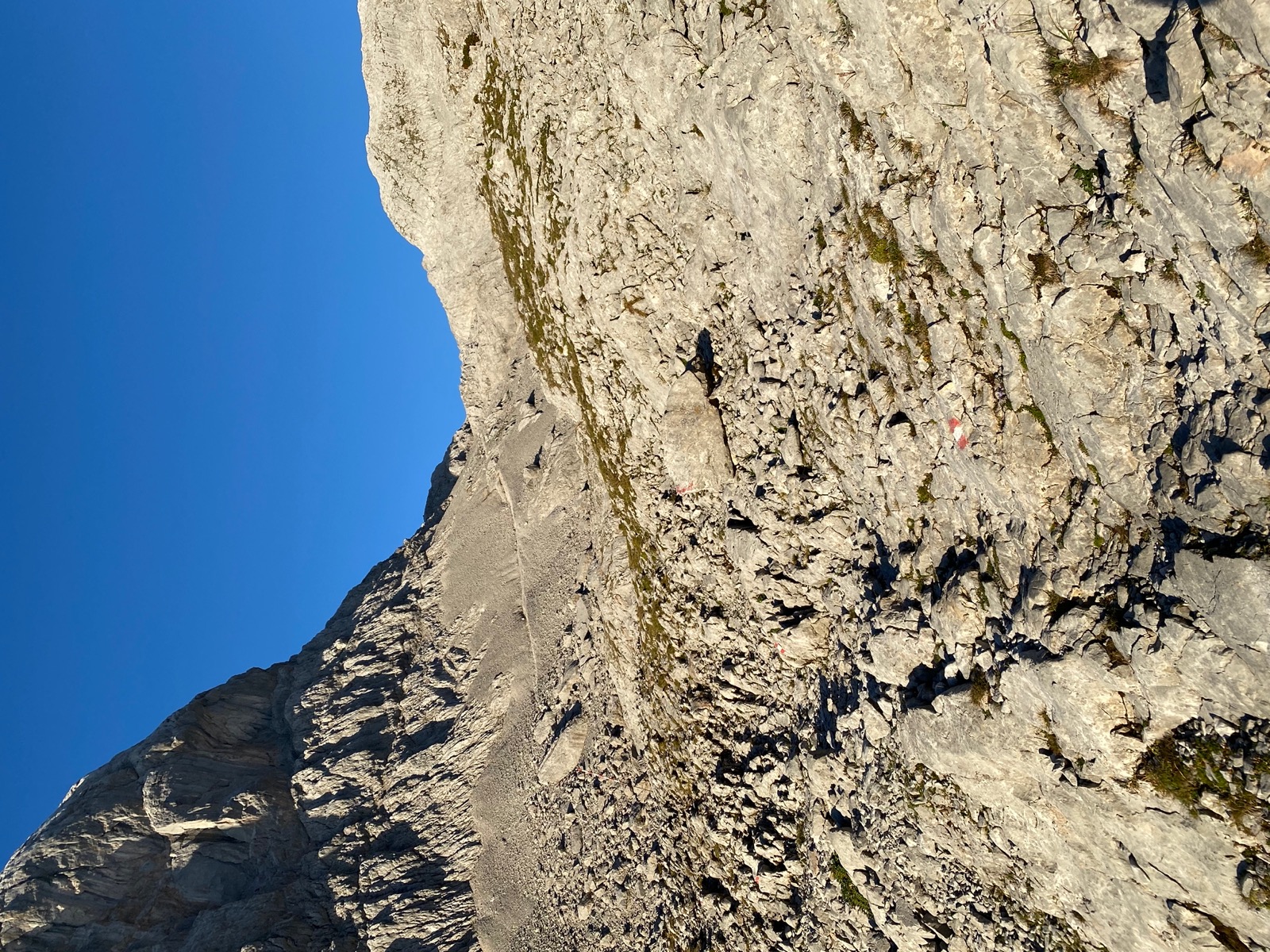
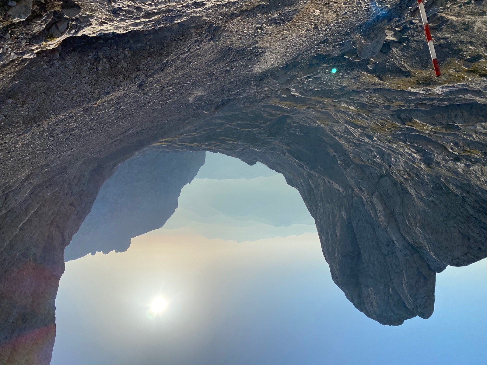
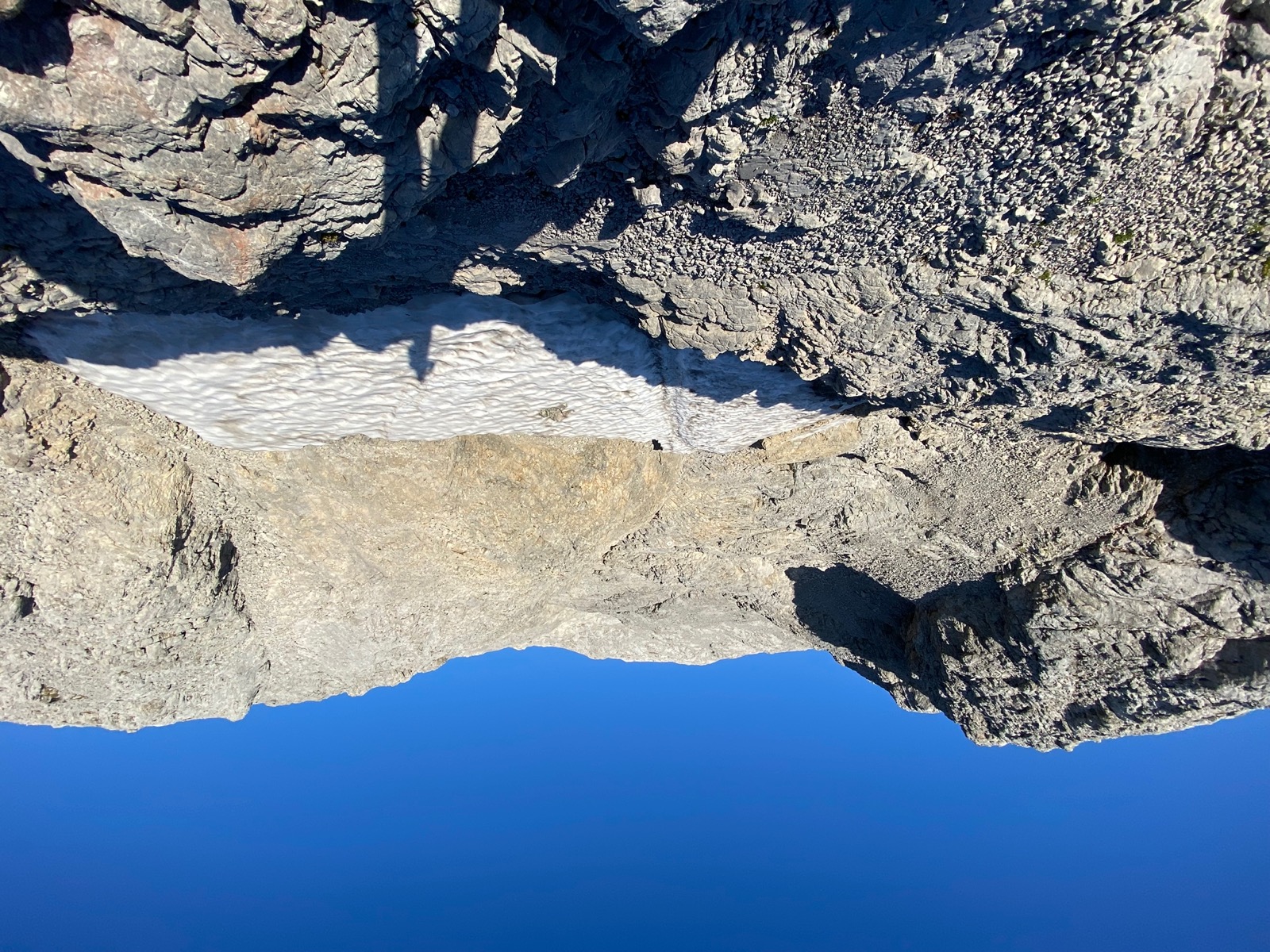
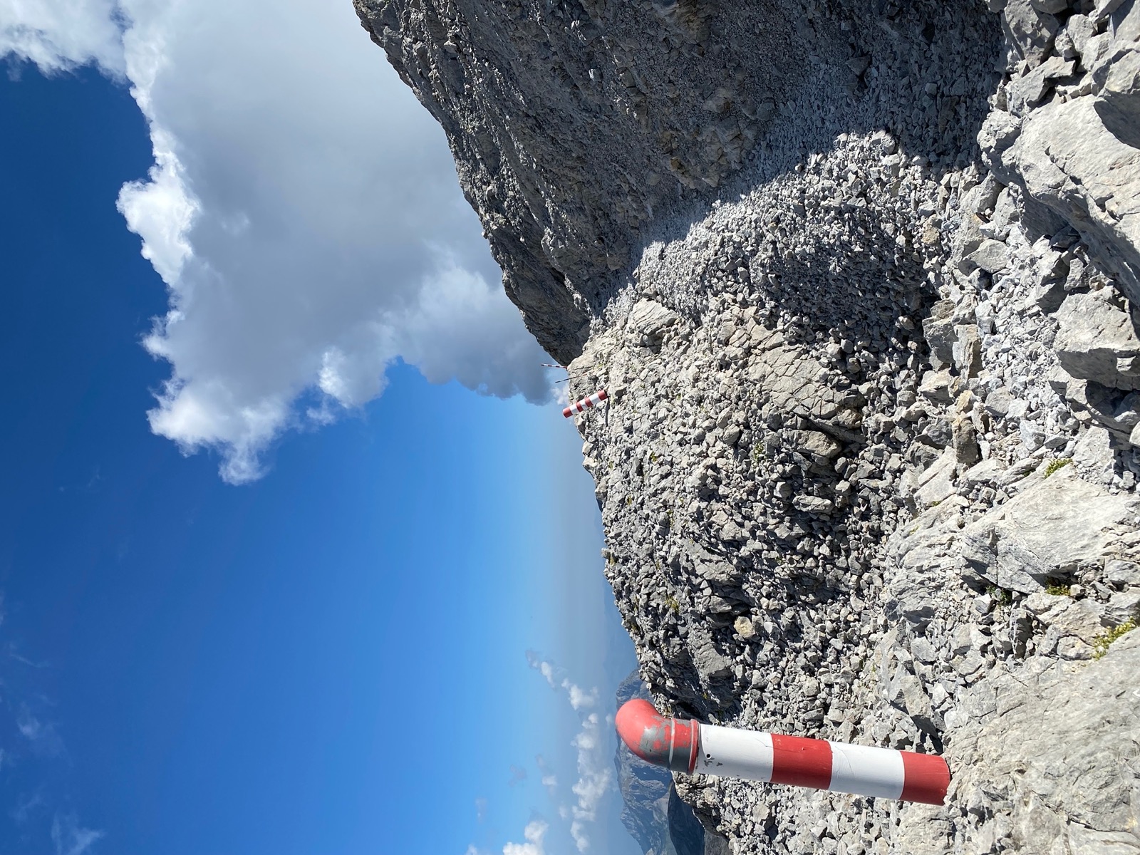
All in all the trail markings were superb; especially near the top where you can easily experience fog and lose orientation, the strategically placed poles were a helpful guidance.

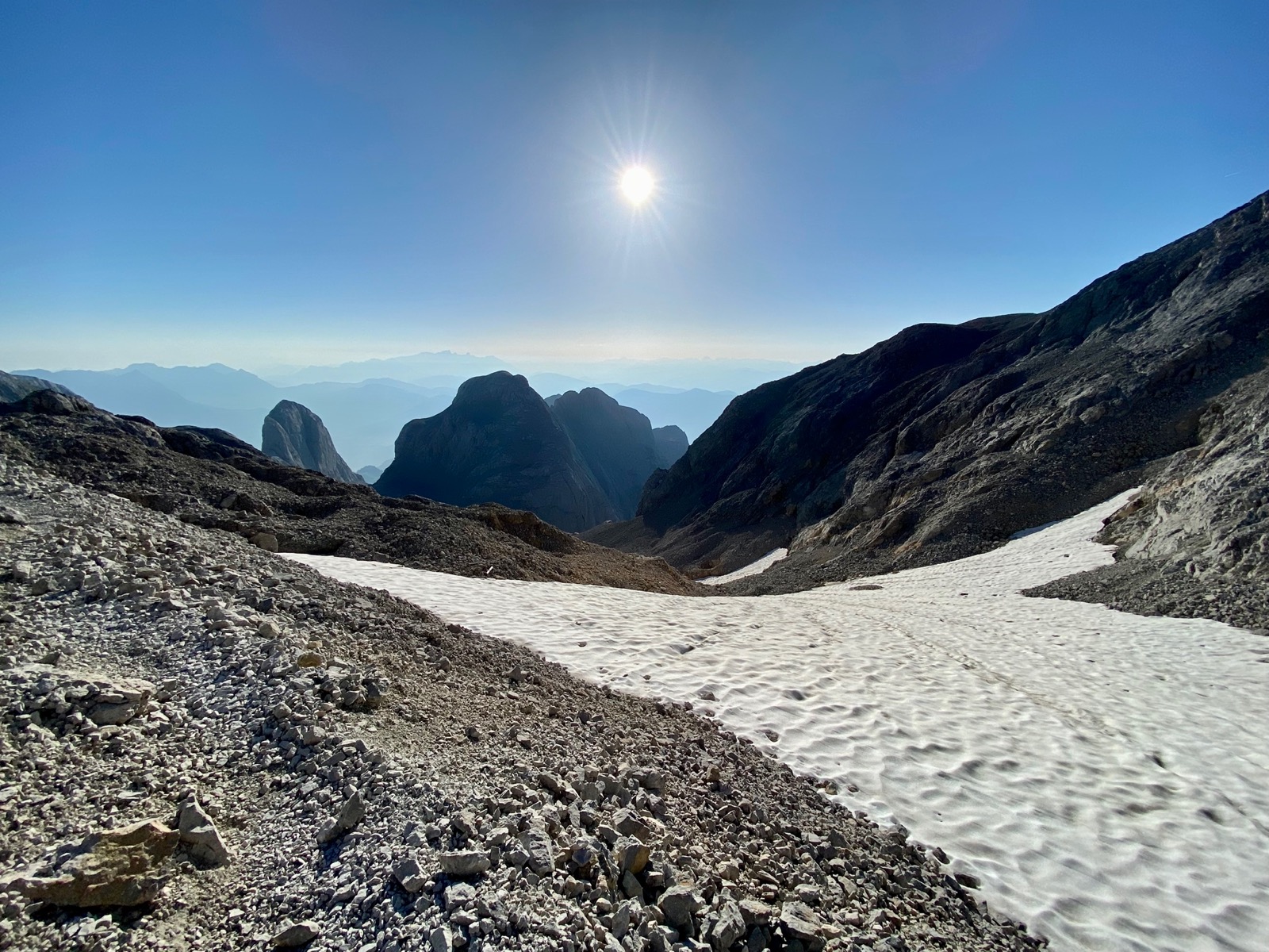
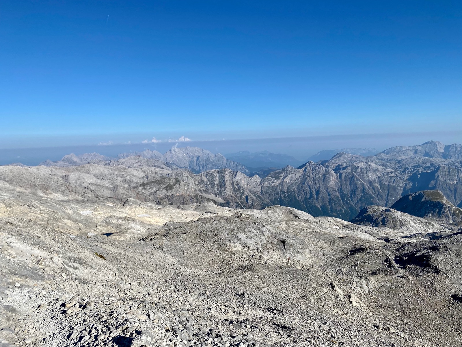
I arrived with perfectly clear skies and descended when the summit was becoming covered in clouds. Generally, I was lucky with the weather throughout, though.

My recommendation for the tour: even though you can hike the trail considerably faster than the officially assigned 8 to 12 hours, if well conditioned, it will still be a long tour and you will need a good amount of water, especially if it’s hot.
If you’re doing the hike on a projected sunny day, start early so that you can make good progress before the sun even comes out and so that the snow fields are still hard and thus easier to pass. An additional advantage is that you are less likely to get into afternoon thunderstorms.
As the weather can change rapidly near the top, be sure to take the regular items (warm clothing, gloves, hat, hardshell) with you.
Here are some good weather resources that I checked before doing the hike: ZAMG, ORF and meteoblue (multi model).